| کد مقاله | کد نشریه | سال انتشار | مقاله انگلیسی | نسخه تمام متن |
|---|---|---|---|---|
| 9951694 | 1421018 | 2018 | 13 صفحه PDF | دانلود رایگان |
عنوان انگلیسی مقاله ISI
Estimating forest canopy cover dynamics in Valles Caldera National Preserve, New Mexico, using LiDAR and Landsat data
دانلود مقاله + سفارش ترجمه
دانلود مقاله ISI انگلیسی
رایگان برای ایرانیان
موضوعات مرتبط
علوم زیستی و بیوفناوری
علوم کشاورزی و بیولوژیک
جنگلداری
پیش نمایش صفحه اول مقاله

چکیده انگلیسی
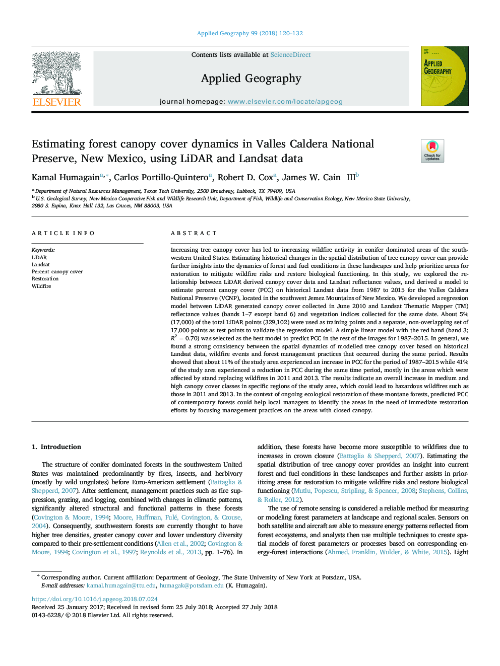
Increasing tree canopy cover has led to increasing wildfire activity in conifer dominated areas of the southwestern United States. Estimating historical changes in the spatial distribution of tree canopy cover can provide further insights into the dynamics of forest and fuel conditions in these landscapes and help prioritize areas for restoration to mitigate wildfire risks and restore biological functioning. In this study, we explored the relationship between LiDAR derived canopy cover data and Landsat reflectance values, and derived a model to estimate percent canopy cover (PCC) on historical Landsat data from 1987 to 2015 for the Valles Caldera National Preserve (VCNP), located in the southwest Jemez Mountains of New Mexico. We developed a regression model between LiDAR generated canopy cover collected in June 2010 and Landsat Thematic Mapper (TM) reflectance values (bands 1-7 except band 6) and vegetation indices collected for the same date. About 5% (17,000) of the total LiDAR points (329,102) were used as training points and a separate, non-overlapping set of 17,000 points as test points to validate the regression model. A simple linear model with the red band (band 3; R2â¯=â¯0.70) was selected as the best model to predict PCC in the rest of the images for 1987-2015. In general, we found a strong consistency between the spatial dynamics of modelled tree canopy cover based on historical Landsat data, wildfire events and forest management practices that occurred during the same period. Results showed that about 11% of the study area experienced an increase in PCC for the period of 1987-2015 while 41% of the study area experienced a reduction in PCC during the same time period, mostly in the areas which were affected by stand replacing wildfires in 2011 and 2013. The results indicate an overall increase in medium and high canopy cover classes in specific regions of the study area, which could lead to hazardous wildfires such as those in 2011 and 2013. In the context of ongoing ecological restoration of these montane forests, predicted PCC of contemporary forests could help local managers to identify the areas in the need of immediate restoration efforts by focusing management practices on the areas with closed canopy.
ناشر
Database: Elsevier - ScienceDirect (ساینس دایرکت)
Journal: Applied Geography - Volume 99, October 2018, Pages 120-132
Journal: Applied Geography - Volume 99, October 2018, Pages 120-132
نویسندگان
Kamal Humagain, Carlos Portillo-Quintero, Robert D. Cox, James W. III,