| کد مقاله | کد نشریه | سال انتشار | مقاله انگلیسی | نسخه تمام متن |
|---|---|---|---|---|
| 10223786 | 1701055 | 2018 | 9 صفحه PDF | دانلود رایگان |
عنوان انگلیسی مقاله ISI
Improving marine habitat mapping using high-resolution acoustic data; a predictive habitat map for the Firth of Lorn, Scotland
دانلود مقاله + سفارش ترجمه
دانلود مقاله ISI انگلیسی
رایگان برای ایرانیان
کلمات کلیدی
موضوعات مرتبط
مهندسی و علوم پایه
علوم زمین و سیارات
زمین شناسی
پیش نمایش صفحه اول مقاله

چکیده انگلیسی
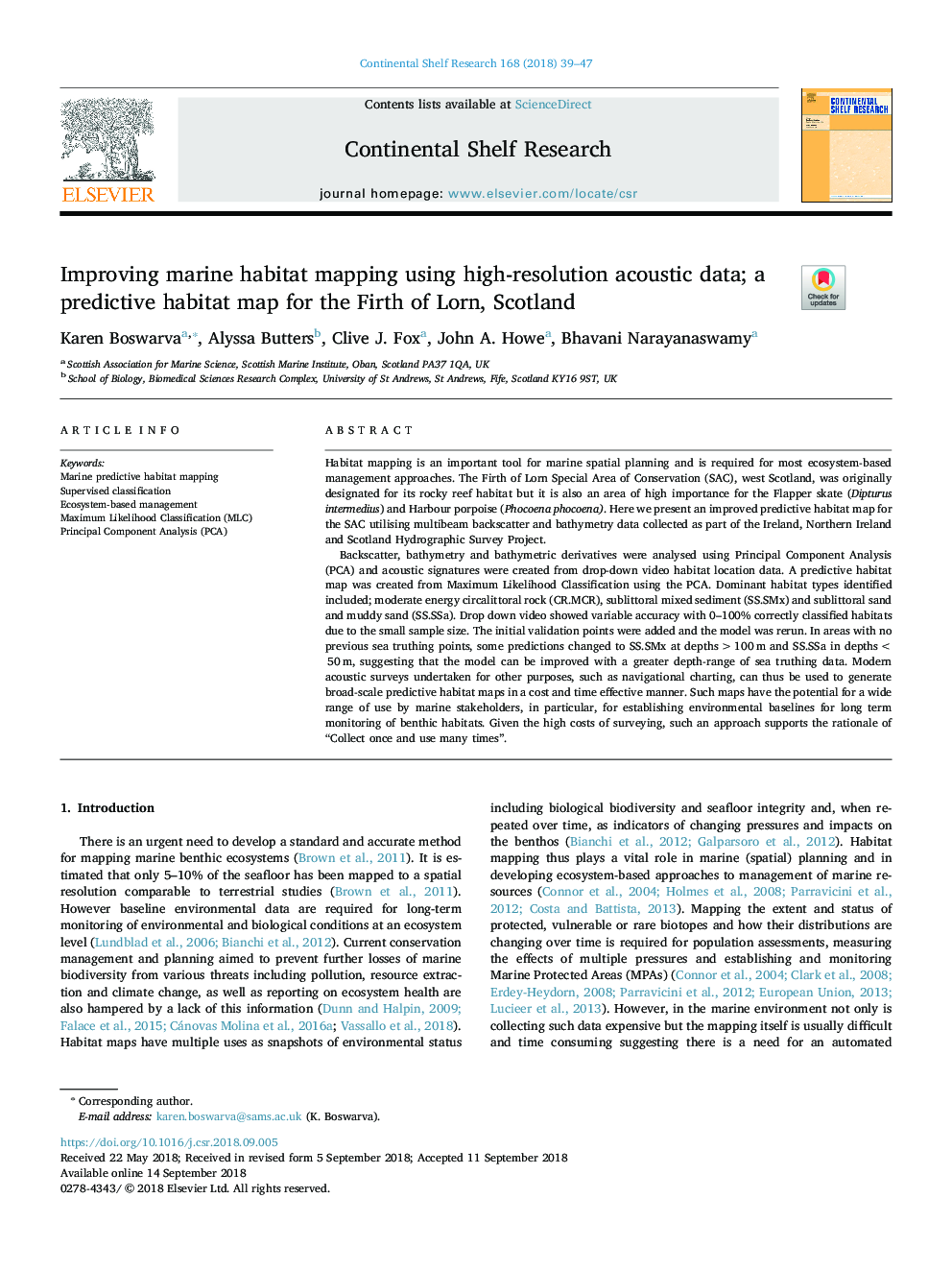
Backscatter, bathymetry and bathymetric derivatives were analysed using Principal Component Analysis (PCA) and acoustic signatures were created from drop-down video habitat location data. A predictive habitat map was created from Maximum Likelihood Classification using the PCA. Dominant habitat types identified included; moderate energy circalittoral rock (CR.MCR), sublittoral mixed sediment (SS.SMx) and sublittoral sand and muddy sand (SS.SSa). Drop down video showed variable accuracy with 0-100% correctly classified habitats due to the small sample size. The initial validation points were added and the model was rerun. In areas with no previous sea truthing points, some predictions changed to SS.SMx at depths > 100â¯m and SS.SSa in depths < 50â¯m, suggesting that the model can be improved with a greater depth-range of sea truthing data. Modern acoustic surveys undertaken for other purposes, such as navigational charting, can thus be used to generate broad-scale predictive habitat maps in a cost and time effective manner. Such maps have the potential for a wide range of use by marine stakeholders, in particular, for establishing environmental baselines for long term monitoring of benthic habitats. Given the high costs of surveying, such an approach supports the rationale of “Collect once and use many times”.
ناشر
Database: Elsevier - ScienceDirect (ساینس دایرکت)
Journal: Continental Shelf Research - Volume 168, 15 September 2018, Pages 39-47
Journal: Continental Shelf Research - Volume 168, 15 September 2018, Pages 39-47
نویسندگان
Karen Boswarva, Alyssa Butters, Clive J. Fox, John A. Howe, Bhavani Narayanaswamy,