| کد مقاله | کد نشریه | سال انتشار | مقاله انگلیسی | نسخه تمام متن |
|---|---|---|---|---|
| 10250648 | 159385 | 2005 | 22 صفحه PDF | دانلود رایگان |
عنوان انگلیسی مقاله ISI
Rapid assessment of biological richness in a part of Eastern Himalaya: an integrated three-tier approach
دانلود مقاله + سفارش ترجمه
دانلود مقاله ISI انگلیسی
رایگان برای ایرانیان
موضوعات مرتبط
علوم زیستی و بیوفناوری
علوم کشاورزی و بیولوژیک
بوم شناسی، تکامل، رفتار و سامانه شناسی
پیش نمایش صفحه اول مقاله

چکیده انگلیسی
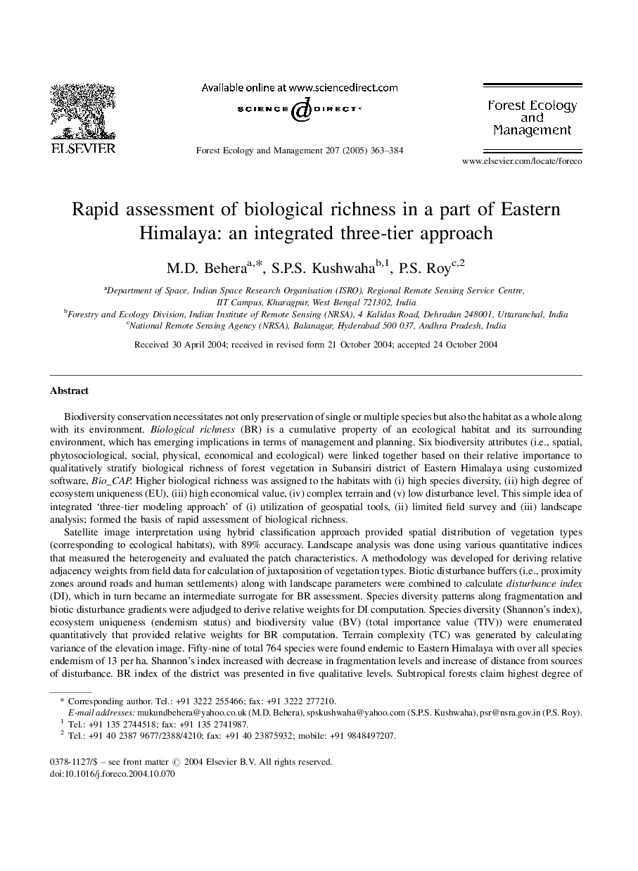
Satellite image interpretation using hybrid classification approach provided spatial distribution of vegetation types (corresponding to ecological habitats), with 89% accuracy. Landscape analysis was done using various quantitative indices that measured the heterogeneity and evaluated the patch characteristics. A methodology was developed for deriving relative adjacency weights from field data for calculation of juxtaposition of vegetation types. Biotic disturbance buffers (i.e., proximity zones around roads and human settlements) along with landscape parameters were combined to calculate disturbance index (DI), which in turn became an intermediate surrogate for BR assessment. Species diversity patterns along fragmentation and biotic disturbance gradients were adjudged to derive relative weights for DI computation. Species diversity (Shannon's index), ecosystem uniqueness (endemism status) and biodiversity value (BV) (total importance value (TIV)) were enumerated quantitatively that provided relative weights for BR computation. Terrain complexity (TC) was generated by calculating variance of the elevation image. Fifty-nine of total 764 species were found endemic to Eastern Himalaya with over all species endemism of 13 per ha. Shannon's index increased with decrease in fragmentation levels and increase of distance from sources of disturbance. BR index of the district was presented in five qualitative levels. Subtropical forests claim highest degree of biological richness as well as high disturbance index. This methodology has implications for rapid biodiversity assessment. Forest managers can use the DI and BR maps for gap analysis and prioritization of conservation activities viz., introduction of locale-specific species, thus protecting the forest habitats in situ.
ناشر
Database: Elsevier - ScienceDirect (ساینس دایرکت)
Journal: Forest Ecology and Management - Volume 207, Issue 3, 21 March 2005, Pages 363-384
Journal: Forest Ecology and Management - Volume 207, Issue 3, 21 March 2005, Pages 363-384
نویسندگان
M.D. Behera, S.P.S. Kushwaha, P.S. Roy,