| کد مقاله | کد نشریه | سال انتشار | مقاله انگلیسی | نسخه تمام متن |
|---|---|---|---|---|
| 11033349 | 1620126 | 2018 | 16 صفحه PDF | دانلود رایگان |
عنوان انگلیسی مقاله ISI
Flood hazard mapping using FLO-2D and local management strategies of Dire Dawa city, Ethiopia
دانلود مقاله + سفارش ترجمه
دانلود مقاله ISI انگلیسی
رایگان برای ایرانیان
کلمات کلیدی
موضوعات مرتبط
مهندسی و علوم پایه
علوم زمین و سیارات
فرآیندهای سطح زمین
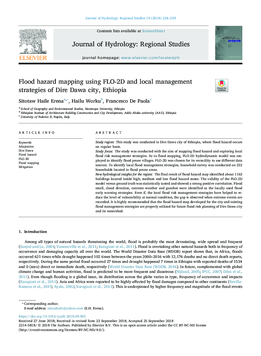
پیش نمایش صفحه اول مقاله

چکیده انگلیسی
The final result of flood hazard map identified about 1163 buildings located inside high, medium and low flood hazard zones. The validity of the FLO-2D model versus ground truth was statistically tasted and showed a strong positive correlation. Flood smell, cloud direction, extreme weather and gunshot were identified as the locally used flood early warning strategies. Even if, the local flood risk management strategies have helped to reduce the level of vulnerability at normal condition, the gap is observed when extreme events are recorded. It is highly recommended that the flood hazard map developed for the city and existing flood management strategies are properly utilized for future flood risk planning of Dire Dawa city and its watershed.
ناشر
Database: Elsevier - ScienceDirect (ساینس دایرکت)
Journal: Journal of Hydrology: Regional Studies - Volume 19, October 2018, Pages 224-239
Journal: Journal of Hydrology: Regional Studies - Volume 19, October 2018, Pages 224-239
نویسندگان
Sitotaw Haile Erena, Hailu Worku, Francesco De Paola,