| کد مقاله | کد نشریه | سال انتشار | مقاله انگلیسی | نسخه تمام متن |
|---|---|---|---|---|
| 2681561 | 1142442 | 2011 | 9 صفحه PDF | دانلود رایگان |
عنوان انگلیسی مقاله ISI
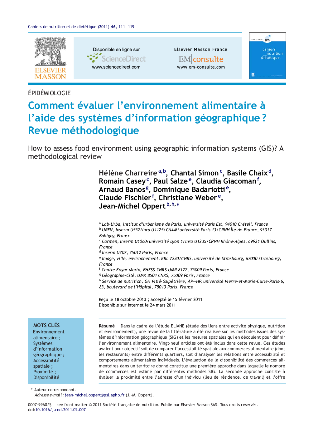
Comment évaluer l'environnement alimentaire à l'aide des systèmes d'information géographique ? Revue méthodologique
دانلود مقاله + سفارش ترجمه
دانلود مقاله ISI انگلیسی
رایگان برای ایرانیان
کلمات کلیدی
موضوعات مرتبط
علوم پزشکی و سلامت
پزشکی و دندانپزشکی
غدد درون ریز، دیابت و متابولیسم
پیش نمایش صفحه اول مقاله

چکیده انگلیسی
In the framework of the ELIANE (Environmental links to physical activity, nutrition and health) research project, a literature review was performed to investigate geographic information systems (GIS) methods used to define the food environment and the types of spatial measurements they generate. Twenty-nine papers were included. The aim of these studies was either to compare food outlet spatial accessibility between different neighbourhoods or to investigate relationships between characteristics of the spatial accessibility measures and individual food behaviour. A first approach was focused on availability of facilities with the aim to quantify the number of food outlets using the buffer method, kernel density estimation or spatial clustering. The second approach was focused on proximity with the aim to assess the distance to food outlets by measuring distances or travel times. GIS methods provide new approaches for assessing the food environment by modelling spatial accessibility to food outlets.
ناشر
Database: Elsevier - ScienceDirect (ساینس دایرکت)
Journal: Cahiers de Nutrition et de Diététique - Volume 46, Issue 3, June 2011, Pages 111-119
Journal: Cahiers de Nutrition et de Diététique - Volume 46, Issue 3, June 2011, Pages 111-119
نویسندگان
Hélène Charreire, Chantal Simon, Basile Chaix, Romain Casey, Paul Salze, Claudia Giacoman, Arnaud Banos, Dominique Badariotti, Claude Fischler, Christiane Weber, Jean-Michel Oppert,