| کد مقاله | کد نشریه | سال انتشار | مقاله انگلیسی | نسخه تمام متن |
|---|---|---|---|---|
| 4428171 | 1619285 | 2015 | 10 صفحه PDF | دانلود رایگان |
• Evaluated method performance for predicting and mapping national ozone pollution.
• Compared land use regression, IDW, ordinary and universal kriging for prediction.
• Land use regression models revealed the presence of residual spatial variation.
• Kriging outperformed the other approaches for predicting ozone concentrations.
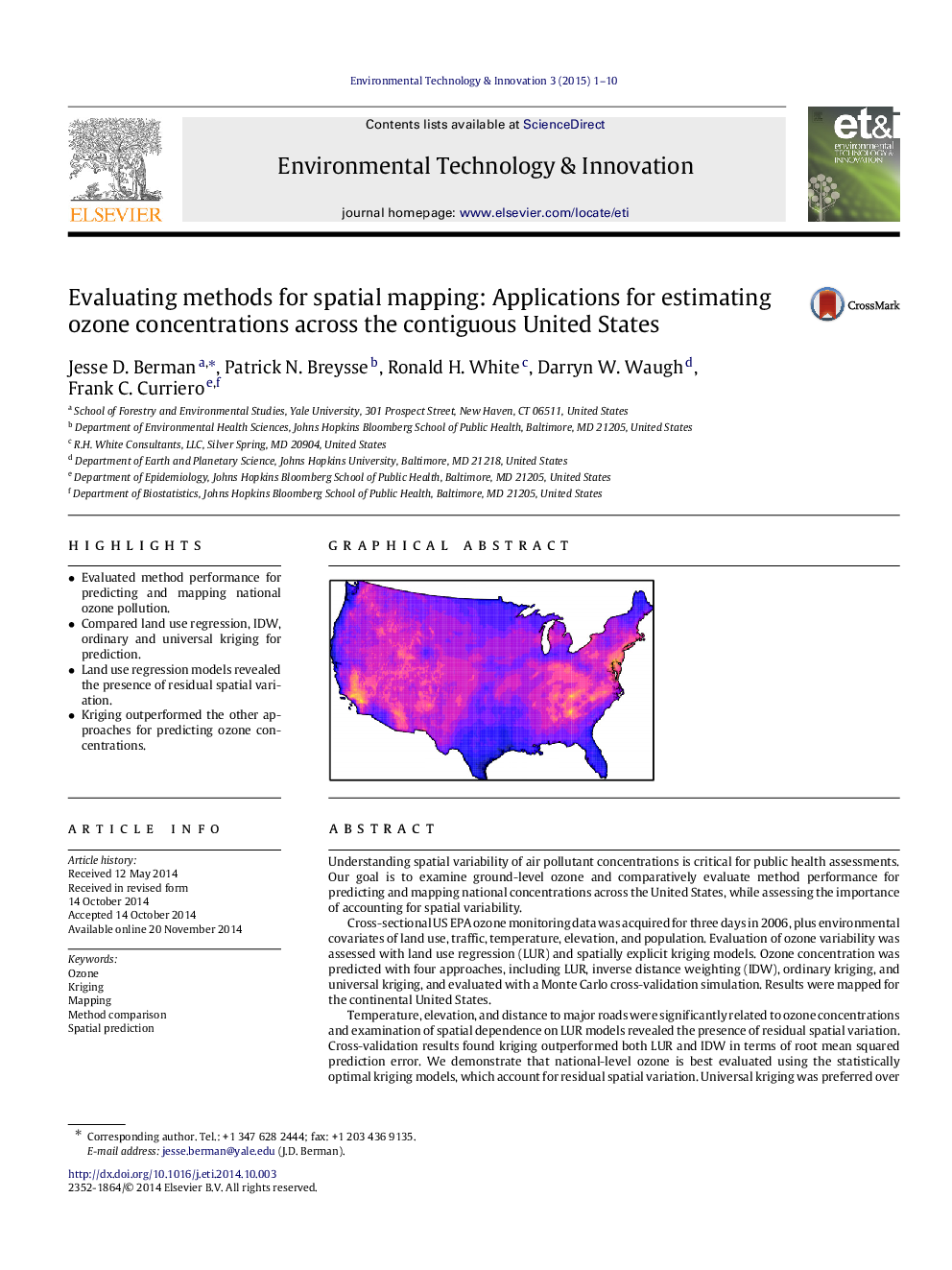
Understanding spatial variability of air pollutant concentrations is critical for public health assessments. Our goal is to examine ground-level ozone and comparatively evaluate method performance for predicting and mapping national concentrations across the United States, while assessing the importance of accounting for spatial variability.Cross-sectional US EPA ozone monitoring data was acquired for three days in 2006, plus environmental covariates of land use, traffic, temperature, elevation, and population. Evaluation of ozone variability was assessed with land use regression (LUR) and spatially explicit kriging models. Ozone concentration was predicted with four approaches, including LUR, inverse distance weighting (IDW), ordinary kriging, and universal kriging, and evaluated with a Monte Carlo cross-validation simulation. Results were mapped for the continental United States.Temperature, elevation, and distance to major roads were significantly related to ozone concentrations and examination of spatial dependence on LUR models revealed the presence of residual spatial variation. Cross-validation results found kriging outperformed both LUR and IDW in terms of root mean squared prediction error. We demonstrate that national-level ozone is best evaluated using the statistically optimal kriging models, which account for residual spatial variation. Universal kriging was preferred over ordinary kriging by allowing us to assess the significance of environmental covariates both for inference and prediction of ozone concentrations.
Figure optionsDownload as PowerPoint slide
Journal: Environmental Technology & Innovation - Volume 3, April 2015, Pages 1–10
