| کد مقاله | کد نشریه | سال انتشار | مقاله انگلیسی | نسخه تمام متن |
|---|---|---|---|---|
| 5749815 | 1619689 | 2018 | 9 صفحه PDF | دانلود رایگان |
- There is a need to adapt urban areas to enable them to tackle issues caused by outdoor air pollution.
- We have developed a “quick scan” method to assess the resilience of urban areas to outdoor air pollution.
- The method is based on the calculation of 3 “resilience capacities”, using a GIS-based grid approach.
- The method has been deployed in Greater Paris and helps to localize specific areas where action is needed.
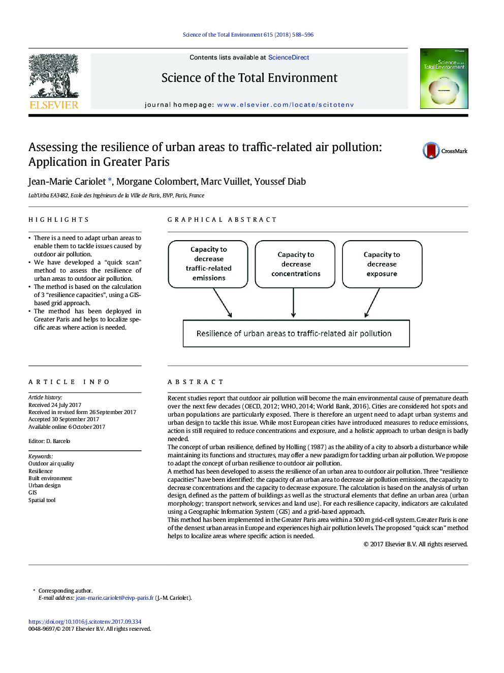
Recent studies report that outdoor air pollution will become the main environmental cause of premature death over the next few decades (OECD, 2012; WHO, 2014; World Bank, 2016). Cities are considered hot spots and urban populations are particularly exposed. There is therefore an urgent need to adapt urban systems and urban design to tackle this issue. While most European cities have introduced measures to reduce emissions, action is still required to reduce concentrations and exposure, and a holistic approach to urban design is badly needed.The concept of urban resilience, defined by Holling (1987) as the ability of a city to absorb a disturbance while maintaining its functions and structures, may offer a new paradigm for tackling urban air pollution. We propose to adapt the concept of urban resilience to outdoor air pollution.A method has been developed to assess the resilience of an urban area to outdoor air pollution. Three “resilience capacities” have been identified: the capacity of an urban area to decrease air pollution emissions, the capacity to decrease concentrations and the capacity to decrease exposure. The calculation is based on the analysis of urban design, defined as the pattern of buildings as well as the structural elements that define an urban area (urban morphology; transport network, services and land use). For each resilience capacity, indicators are calculated using a Geographic Information System (GIS) and a grid-based approach.This method has been implemented in the Greater Paris area within a 500Â m grid-cell system. Greater Paris is one of the densest urban areas in Europe and experiences high air pollution levels. The proposed “quick scan” method helps to localize areas where specific action is needed.
67
Journal: Science of The Total Environment - Volume 615, 15 February 2018, Pages 588-596
