| کد مقاله | کد نشریه | سال انتشار | مقاله انگلیسی | نسخه تمام متن |
|---|---|---|---|---|
| 5750086 | 1619690 | 2018 | 13 صفحه PDF | دانلود رایگان |
- First demonstration that crop production can be forecasted in Iraq.
- The peak of the growing season produced the largest correlation with crop production.
- NDVI, EVI and NPP produced similar results.
- Remotely sensed metrics performed better than simple crop area.
- This forecasting could have utility in relation to tackling food insecurity.
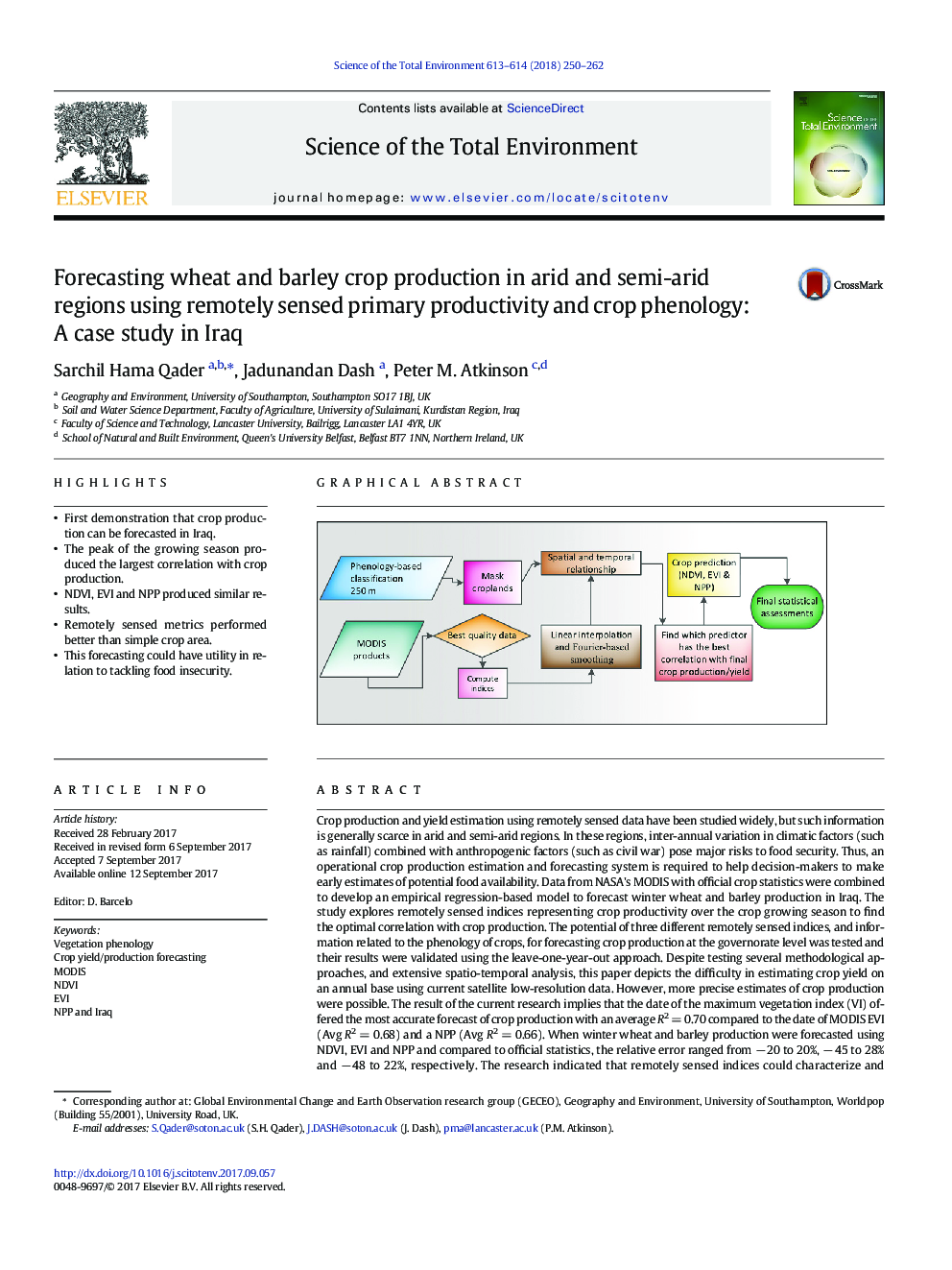
Crop production and yield estimation using remotely sensed data have been studied widely, but such information is generally scarce in arid and semi-arid regions. In these regions, inter-annual variation in climatic factors (such as rainfall) combined with anthropogenic factors (such as civil war) pose major risks to food security. Thus, an operational crop production estimation and forecasting system is required to help decision-makers to make early estimates of potential food availability. Data from NASA's MODIS with official crop statistics were combined to develop an empirical regression-based model to forecast winter wheat and barley production in Iraq. The study explores remotely sensed indices representing crop productivity over the crop growing season to find the optimal correlation with crop production. The potential of three different remotely sensed indices, and information related to the phenology of crops, for forecasting crop production at the governorate level was tested and their results were validated using the leave-one-year-out approach. Despite testing several methodological approaches, and extensive spatio-temporal analysis, this paper depicts the difficulty in estimating crop yield on an annual base using current satellite low-resolution data. However, more precise estimates of crop production were possible. The result of the current research implies that the date of the maximum vegetation index (VI) offered the most accurate forecast of crop production with an average R2 = 0.70 compared to the date of MODIS EVI (Avg R2 = 0.68) and a NPP (Avg R2 = 0.66). When winter wheat and barley production were forecasted using NDVI, EVI and NPP and compared to official statistics, the relative error ranged from â 20 to 20%, â 45 to 28% and â 48 to 22%, respectively. The research indicated that remotely sensed indices could characterize and forecast crop production more accurately than simple cropping area, which was treated as a null model against which to evaluate the proposed approach.
295
Journal: Science of The Total Environment - Volumes 613â614, 1 February 2018, Pages 250-262
