| کد مقاله | کد نشریه | سال انتشار | مقاله انگلیسی | نسخه تمام متن |
|---|---|---|---|---|
| 6345563 | 1621226 | 2016 | 17 صفحه PDF | دانلود رایگان |
عنوان انگلیسی مقاله ISI
Towards an operative use of remote sensing for exploring the past using satellite data: The case study of Hierapolis (Turkey)
دانلود مقاله + سفارش ترجمه
دانلود مقاله ISI انگلیسی
رایگان برای ایرانیان
کلمات کلیدی
موضوعات مرتبط
مهندسی و علوم پایه
علوم زمین و سیارات
کامپیوتر در علوم زمین
پیش نمایش صفحه اول مقاله

چکیده انگلیسی
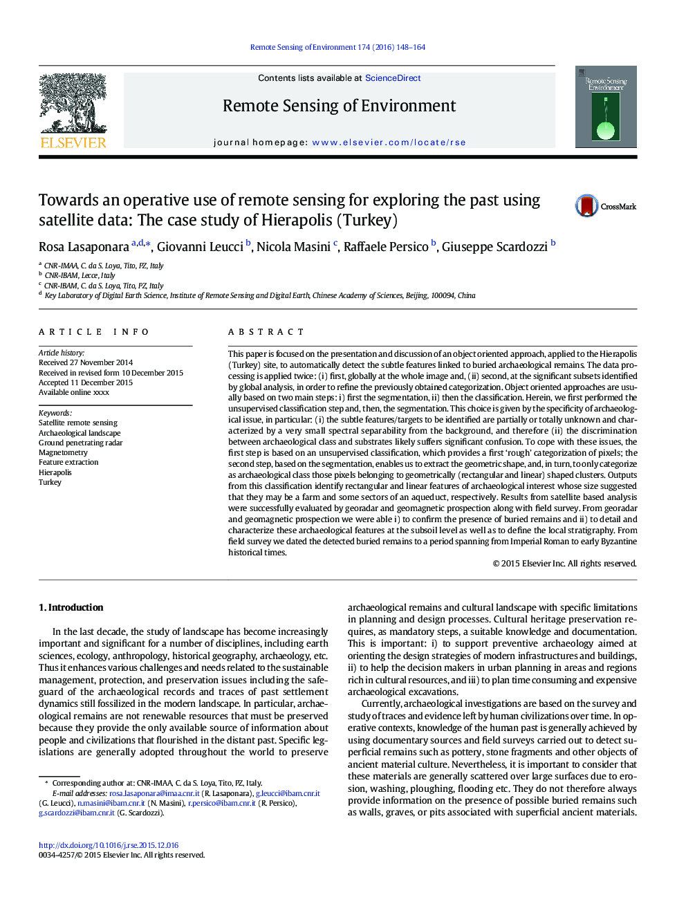
This paper is focused on the presentation and discussion of an object oriented approach, applied to the Hierapolis (Turkey) site, to automatically detect the subtle features linked to buried archaeological remains. The data processing is applied twice: (i) first, globally at the whole image and, (ii) second, at the significant subsets identified by global analysis, in order to refine the previously obtained categorization. Object oriented approaches are usually based on two main steps: i) first the segmentation, ii) then the classification. Herein, we first performed the unsupervised classification step and, then, the segmentation. This choice is given by the specificity of archaeological issue, in particular: (i) the subtle features/targets to be identified are partially or totally unknown and characterized by a very small spectral separability from the background, and therefore (ii) the discrimination between archaeological class and substrates likely suffers significant confusion. To cope with these issues, the first step is based on an unsupervised classification, which provides a first 'rough' categorization of pixels; the second step, based on the segmentation, enables us to extract the geometric shape, and, in turn, to only categorize as archaeological class those pixels belonging to geometrically (rectangular and linear) shaped clusters. Outputs from this classification identify rectangular and linear features of archaeological interest whose size suggested that they may be a farm and some sectors of an aqueduct, respectively. Results from satellite based analysis were successfully evaluated by georadar and geomagnetic prospection along with field survey. From georadar and geomagnetic prospection we were able i) to confirm the presence of buried remains and ii) to detail and characterize these archaeological features at the subsoil level as well as to define the local stratigraphy. From field survey we dated the detected buried remains to a period spanning from Imperial Roman to early Byzantine historical times.
ناشر
Database: Elsevier - ScienceDirect (ساینس دایرکت)
Journal: Remote Sensing of Environment - Volume 174, 1 March 2016, Pages 148-164
Journal: Remote Sensing of Environment - Volume 174, 1 March 2016, Pages 148-164
نویسندگان
Rosa Lasaponara, Giovanni Leucci, Nicola Masini, Raffaele Persico, Giuseppe Scardozzi,