| کد مقاله | کد نشریه | سال انتشار | مقاله انگلیسی | نسخه تمام متن |
|---|---|---|---|---|
| 6346003 | 1621236 | 2015 | 10 صفحه PDF | دانلود رایگان |
عنوان انگلیسی مقاله ISI
Volumetric change quantification of the 2010 Merapi eruption using TanDEM-X InSAR
دانلود مقاله + سفارش ترجمه
دانلود مقاله ISI انگلیسی
رایگان برای ایرانیان
کلمات کلیدی
موضوعات مرتبط
مهندسی و علوم پایه
علوم زمین و سیارات
کامپیوتر در علوم زمین
پیش نمایش صفحه اول مقاله

چکیده انگلیسی
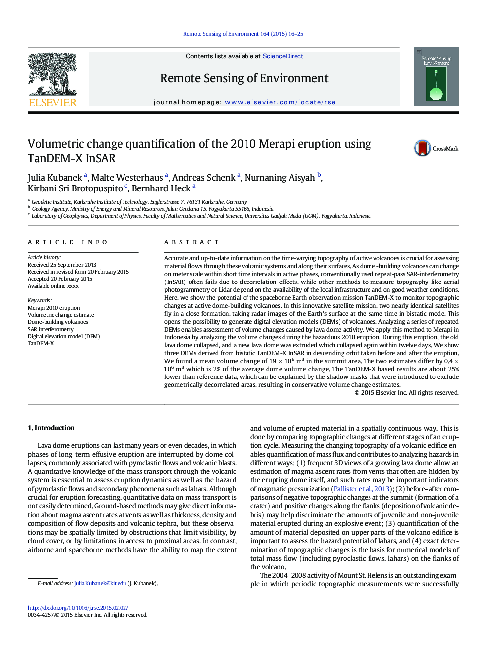
Accurate and up-to-date information on the time-varying topography of active volcanoes is crucial for assessing material flows through these volcanic systems and along their surfaces. As dome -building volcanoes can change on meter scale within short time intervals in active phases, conventionally used repeat-pass SAR-interferometry (InSAR) often fails due to decorrelation effects, while other methods to measure topography like aerial photogrammetry or Lidar depend on the availability of the local infrastructure and on good weather conditions. Here, we show the potential of the spaceborne Earth observation mission TanDEM-X to monitor topographic changes at active dome-building volcanoes. In this innovative satellite mission, two nearly identical satellites fly in a close formation, taking radar images of the Earth's surface at the same time in bistatic mode. This opens the possibility to generate digital elevation models (DEMs) of volcanoes. Analyzing a series of repeated DEMs enables assessment of volume changes caused by lava dome activity. We apply this method to Merapi in Indonesia by analyzing the volume changes during the hazardous 2010 eruption. During this eruption, the old lava dome collapsed, and a new lava dome was extruded which collapsed again within twelve days. We show three DEMs derived from bistatic TanDEM-X InSAR in descending orbit taken before and after the eruption. We found a mean volume change of 19Â ÃÂ 106Â m3 in the summit area. The two estimates differ by 0.4Â ÃÂ 106Â m3 which is 2% of the average dome volume change. The TanDEM-X based results are about 25% lower than reference data, which can be explained by the shadow masks that were introduced to exclude geometrically decorrelated areas, resulting in conservative volume change estimates.
ناشر
Database: Elsevier - ScienceDirect (ساینس دایرکت)
Journal: Remote Sensing of Environment - Volume 164, July 2015, Pages 16-25
Journal: Remote Sensing of Environment - Volume 164, July 2015, Pages 16-25
نویسندگان
Julia Kubanek, Malte Westerhaus, Andreas Schenk, Nurnaning Aisyah, Kirbani Sri Brotopuspito, Bernhard Heck,