| کد مقاله | کد نشریه | سال انتشار | مقاله انگلیسی | نسخه تمام متن |
|---|---|---|---|---|
| 6346253 | 1621242 | 2015 | 16 صفحه PDF | دانلود رایگان |
عنوان انگلیسی مقاله ISI
Urban land cover classification using airborne LiDAR data: A review
دانلود مقاله + سفارش ترجمه
دانلود مقاله ISI انگلیسی
رایگان برای ایرانیان
کلمات کلیدی
LiDAR intensityLaser scanning - اسکن لیزریRadiometric correction - اصلاح رادیومتریUrban analysis - تجزیه و تحلیل شهریFull-waveform - شکل موج کاملLand cover classification - طبقه بندی زمین پوششUrban environment - محیط شهریLand cover mapping - نقشه پوشش زمینAirborne lidar - هواپیمای هواپیماRadiometric calibration - کالیبراسیون رادیومتری
موضوعات مرتبط
مهندسی و علوم پایه
علوم زمین و سیارات
کامپیوتر در علوم زمین
پیش نمایش صفحه اول مقاله

چکیده انگلیسی
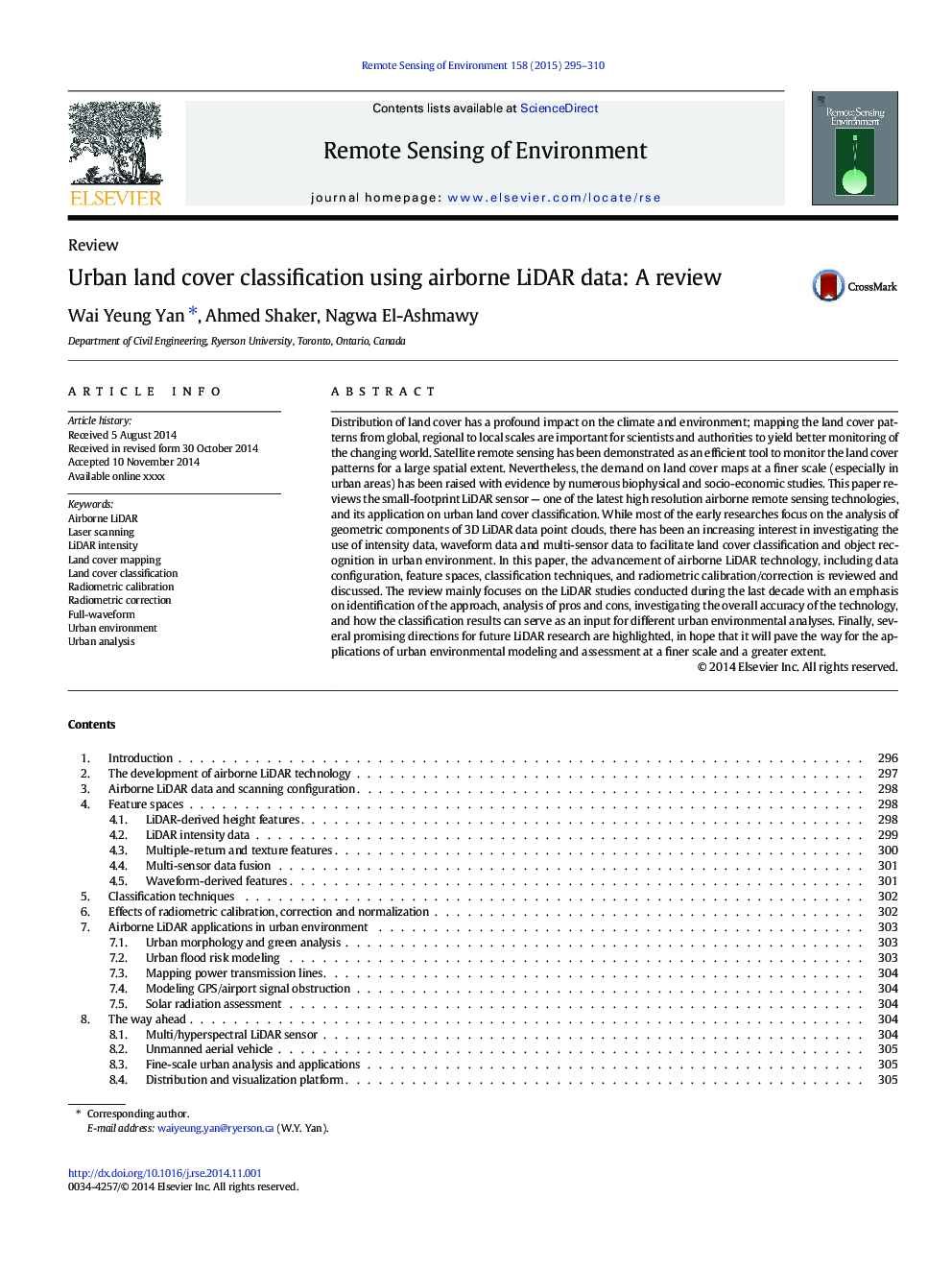
Distribution of land cover has a profound impact on the climate and environment; mapping the land cover patterns from global, regional to local scales are important for scientists and authorities to yield better monitoring of the changing world. Satellite remote sensing has been demonstrated as an efficient tool to monitor the land cover patterns for a large spatial extent. Nevertheless, the demand on land cover maps at a finer scale (especially in urban areas) has been raised with evidence by numerous biophysical and socio-economic studies. This paper reviews the small-footprint LiDAR sensor - one of the latest high resolution airborne remote sensing technologies, and its application on urban land cover classification. While most of the early researches focus on the analysis of geometric components of 3D LiDAR data point clouds, there has been an increasing interest in investigating the use of intensity data, waveform data and multi-sensor data to facilitate land cover classification and object recognition in urban environment. In this paper, the advancement of airborne LiDAR technology, including data configuration, feature spaces, classification techniques, and radiometric calibration/correction is reviewed and discussed. The review mainly focuses on the LiDAR studies conducted during the last decade with an emphasis on identification of the approach, analysis of pros and cons, investigating the overall accuracy of the technology, and how the classification results can serve as an input for different urban environmental analyses. Finally, several promising directions for future LiDAR research are highlighted, in hope that it will pave the way for the applications of urban environmental modeling and assessment at a finer scale and a greater extent.
ناشر
Database: Elsevier - ScienceDirect (ساینس دایرکت)
Journal: Remote Sensing of Environment - Volume 158, 1 March 2015, Pages 295-310
Journal: Remote Sensing of Environment - Volume 158, 1 March 2015, Pages 295-310
نویسندگان
Wai Yeung Yan, Ahmed Shaker, Nagwa El-Ashmawy,