| کد مقاله | کد نشریه | سال انتشار | مقاله انگلیسی | نسخه تمام متن |
|---|---|---|---|---|
| 6347066 | 1621260 | 2014 | 16 صفحه PDF | دانلود رایگان |
عنوان انگلیسی مقاله ISI
Separation of large scale water storage patterns over Iran using GRACE, altimetry and hydrological data
دانلود مقاله + سفارش ترجمه
دانلود مقاله ISI انگلیسی
رایگان برای ایرانیان
کلمات کلیدی
موضوعات مرتبط
مهندسی و علوم پایه
علوم زمین و سیارات
کامپیوتر در علوم زمین
پیش نمایش صفحه اول مقاله

چکیده انگلیسی
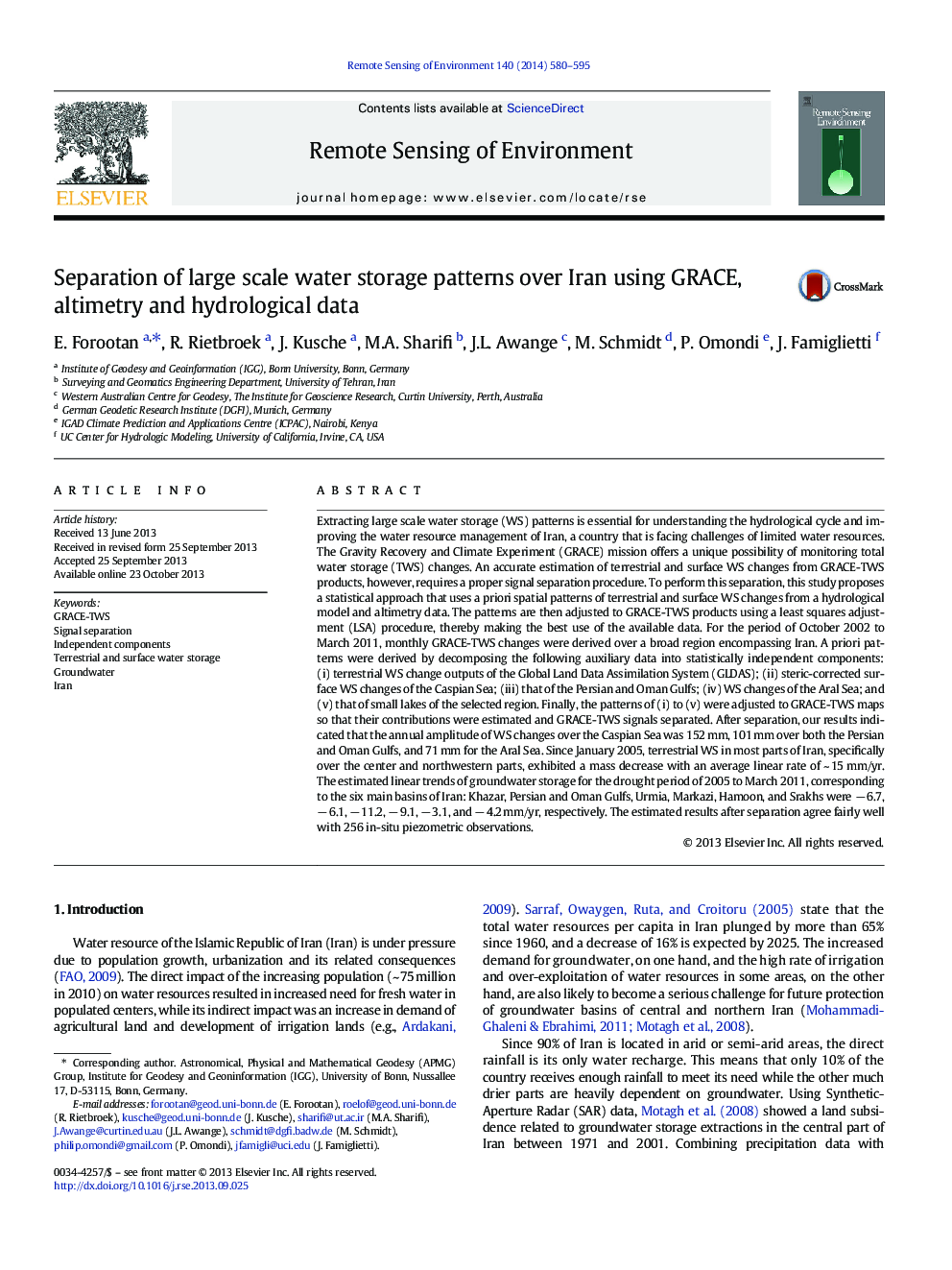
Extracting large scale water storage (WS) patterns is essential for understanding the hydrological cycle and improving the water resource management of Iran, a country that is facing challenges of limited water resources. The Gravity Recovery and Climate Experiment (GRACE) mission offers a unique possibility of monitoring total water storage (TWS) changes. An accurate estimation of terrestrial and surface WS changes from GRACE-TWS products, however, requires a proper signal separation procedure. To perform this separation, this study proposes a statistical approach that uses a priori spatial patterns of terrestrial and surface WS changes from a hydrological model and altimetry data. The patterns are then adjusted to GRACE-TWS products using a least squares adjustment (LSA) procedure, thereby making the best use of the available data. For the period of October 2002 to March 2011, monthly GRACE-TWS changes were derived over a broad region encompassing Iran. A priori patterns were derived by decomposing the following auxiliary data into statistically independent components: (i) terrestrial WS change outputs of the Global Land Data Assimilation System (GLDAS); (ii) steric-corrected surface WS changes of the Caspian Sea; (iii) that of the Persian and Oman Gulfs; (iv) WS changes of the Aral Sea; and (v) that of small lakes of the selected region. Finally, the patterns of (i) to (v) were adjusted to GRACE-TWS maps so that their contributions were estimated and GRACE-TWS signals separated. After separation, our results indicated that the annual amplitude of WS changes over the Caspian Sea was 152 mm, 101 mm over both the Persian and Oman Gulfs, and 71 mm for the Aral Sea. Since January 2005, terrestrial WS in most parts of Iran, specifically over the center and northwestern parts, exhibited a mass decrease with an average linear rate of ~ 15 mm/yr. The estimated linear trends of groundwater storage for the drought period of 2005 to March 2011, corresponding to the six main basins of Iran: Khazar, Persian and Oman Gulfs, Urmia, Markazi, Hamoon, and Srakhs were â 6.7, â 6.1, â 11.2, â 9.1, â 3.1, and â 4.2 mm/yr, respectively. The estimated results after separation agree fairly well with 256 in-situ piezometric observations.
ناشر
Database: Elsevier - ScienceDirect (ساینس دایرکت)
Journal: Remote Sensing of Environment - Volume 140, January 2014, Pages 580-595
Journal: Remote Sensing of Environment - Volume 140, January 2014, Pages 580-595
نویسندگان
E. Forootan, R. Rietbroek, J. Kusche, M.A. Sharifi, J.L. Awange, M. Schmidt, P. Omondi, J. Famiglietti,