| کد مقاله | کد نشریه | سال انتشار | مقاله انگلیسی | نسخه تمام متن |
|---|---|---|---|---|
| 6347124 | 1621261 | 2013 | 14 صفحه PDF | دانلود رایگان |
عنوان انگلیسی مقاله ISI
High spatial resolution mapping of elevated atmospheric carbon dioxide using airborne imaging spectroscopy: Radiative transfer modeling and power plant plume detection
ترجمه فارسی عنوان
نقشه برداری با وضوح بالا از دی اکسید کربن اتمسفری با استفاده از طیف سنجی تصویربرداری هوایی: مدل سازی انتقال تابش و تشخیص طوفان نیروگاه
دانلود مقاله + سفارش ترجمه
دانلود مقاله ISI انگلیسی
رایگان برای ایرانیان
کلمات کلیدی
موضوعات مرتبط
مهندسی و علوم پایه
علوم زمین و سیارات
کامپیوتر در علوم زمین
چکیده انگلیسی
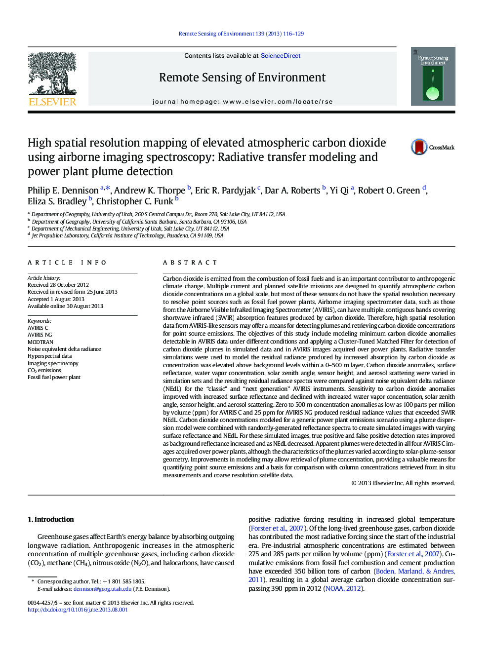
Carbon dioxide is emitted from the combustion of fossil fuels and is an important contributor to anthropogenic climate change. Multiple current and planned satellite missions are designed to quantify atmospheric carbon dioxide concentrations on a global scale, but most of these sensors do not have the spatial resolution necessary to resolve point sources such as fossil fuel power plants. Airborne imaging spectrometer data, such as those from the Airborne Visible InfraRed Imaging Spectrometer (AVIRIS), can have multiple, contiguous bands covering shortwave infrared (SWIR) absorption features produced by carbon dioxide. Therefore, high spatial resolution data from AVIRIS-like sensors may offer a means for detecting plumes and retrieving carbon dioxide concentrations for point source emissions. The objectives of this study include modeling minimum carbon dioxide anomalies detectable in AVIRIS data under different conditions and applying a Cluster-Tuned Matched Filter for detection of carbon dioxide plumes in simulated data and in AVIRIS images acquired over power plants. Radiative transfer simulations were used to model the residual radiance produced by increased absorption by carbon dioxide as concentration was elevated above background levels within a 0-500Â m layer. Carbon dioxide anomalies, surface reflectance, water vapor concentration, solar zenith angle, sensor height, and aerosol scattering were varied in simulation sets and the resulting residual radiance spectra were compared against noise equivalent delta radiance (NEdL) for the “classic” and “next generation” AVIRIS instruments. Sensitivity to carbon dioxide anomalies improved with increased surface reflectance and declined with increased water vapor concentration, solar zenith angle, sensor height, and aerosol scattering. Zero to 500Â m concentration anomalies as low as 100 parts per milion by volume (ppm) for AVIRIS C and 25Â ppm for AVIRIS NG produced residual radiance values that exceeded SWIR NEdL. Carbon dioxide concentrations modeled for a generic power plant emissions scenario using a plume dispersion model were combined with randomly-generated reflectance spectra to create simulated images with varying surface reflectance and NEdL. For these simulated images, true positive and false positive detection rates improved as background reflectance increased and as NEdL decreased. Apparent plumes were detected in all four AVIRIS C images acquired over power plants, although the characteristics of the plumes varied according to solar-plume-sensor geometry. Improvements in modeling may allow retrieval of plume concentration, providing a valuable means for quantifying point source emissions and a basis for comparison with column concentrations retrieved from in situ measurements and coarse resolution satellite data.
ناشر
Database: Elsevier - ScienceDirect (ساینس دایرکت)
Journal: Remote Sensing of Environment - Volume 139, December 2013, Pages 116-129
Journal: Remote Sensing of Environment - Volume 139, December 2013, Pages 116-129
نویسندگان
Philip E. Dennison, Andrew K. Thorpe, Eric R. Pardyjak, Dar A. Roberts, Yi Qi, Robert O. Green, Eliza S. Bradley, Christopher C. Funk,
