| کد مقاله | کد نشریه | سال انتشار | مقاله انگلیسی | نسخه تمام متن |
|---|---|---|---|---|
| 6347129 | 1621261 | 2013 | 14 صفحه PDF | دانلود رایگان |
عنوان انگلیسی مقاله ISI
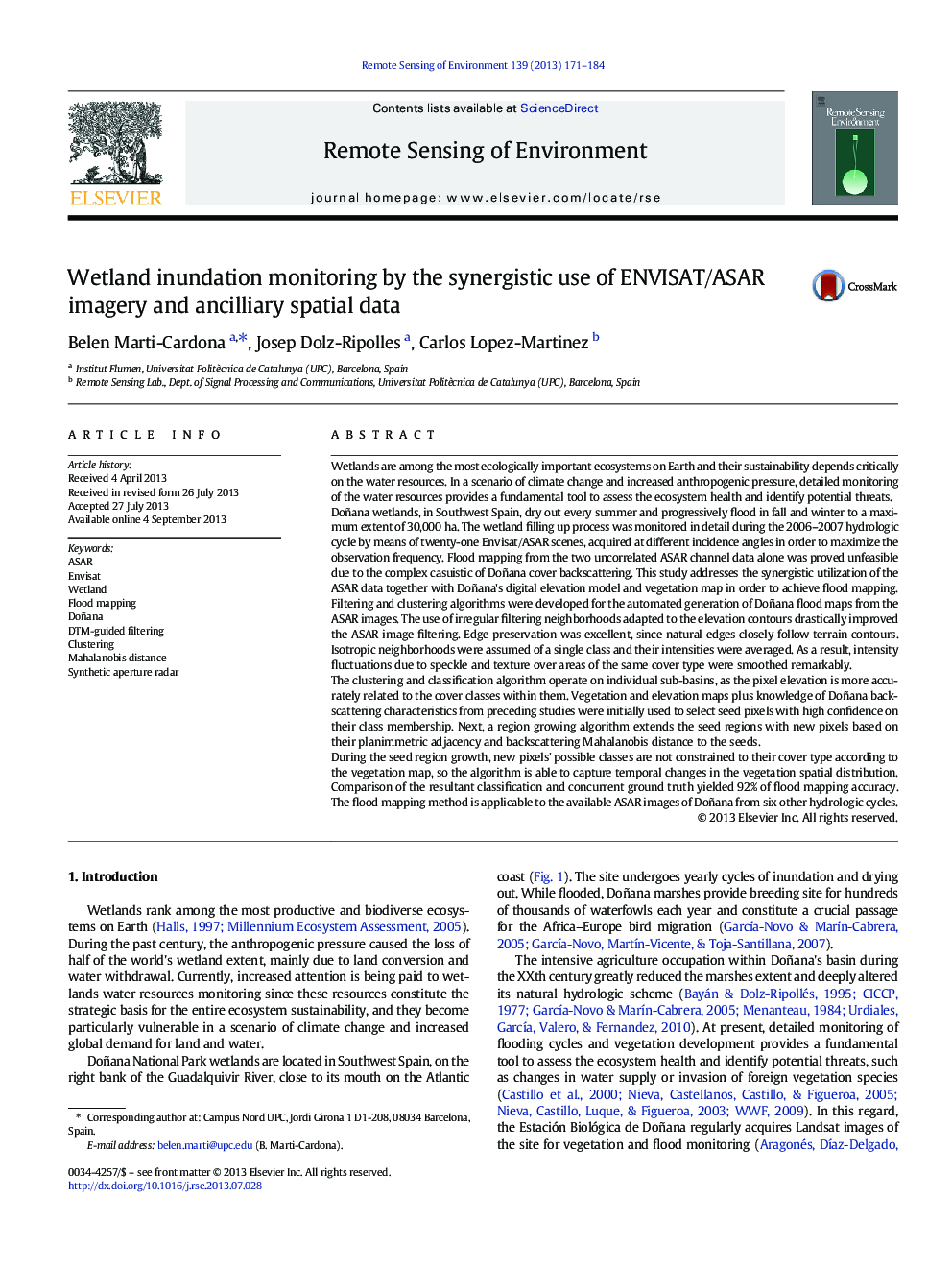
Wetland inundation monitoring by the synergistic use of ENVISAT/ASAR imagery and ancilliary spatial data
دانلود مقاله + سفارش ترجمه
دانلود مقاله ISI انگلیسی
رایگان برای ایرانیان
کلمات کلیدی
موضوعات مرتبط
مهندسی و علوم پایه
علوم زمین و سیارات
کامپیوتر در علوم زمین
پیش نمایش صفحه اول مقاله

چکیده انگلیسی
During the seed region growth, new pixels' possible classes are not constrained to their cover type according to the vegetation map, so the algorithm is able to capture temporal changes in the vegetation spatial distribution. Comparison of the resultant classification and concurrent ground truth yielded 92% of flood mapping accuracy. The flood mapping method is applicable to the available ASAR images of Doñana from six other hydrologic cycles.
ناشر
Database: Elsevier - ScienceDirect (ساینس دایرکت)
Journal: Remote Sensing of Environment - Volume 139, December 2013, Pages 171-184
Journal: Remote Sensing of Environment - Volume 139, December 2013, Pages 171-184
نویسندگان
Belen Marti-Cardona, Josep Dolz-Ripolles, Carlos Lopez-Martinez,