| کد مقاله | کد نشریه | سال انتشار | مقاله انگلیسی | نسخه تمام متن |
|---|---|---|---|---|
| 6348455 | 1621804 | 2016 | 13 صفحه PDF | دانلود رایگان |
عنوان انگلیسی مقاله ISI
Phenomapping of rangelands in South Africa using time series of RapidEye data
دانلود مقاله + سفارش ترجمه
دانلود مقاله ISI انگلیسی
رایگان برای ایرانیان
کلمات کلیدی
موضوعات مرتبط
مهندسی و علوم پایه
علوم زمین و سیارات
کامپیوتر در علوم زمین
پیش نمایش صفحه اول مقاله

چکیده انگلیسی
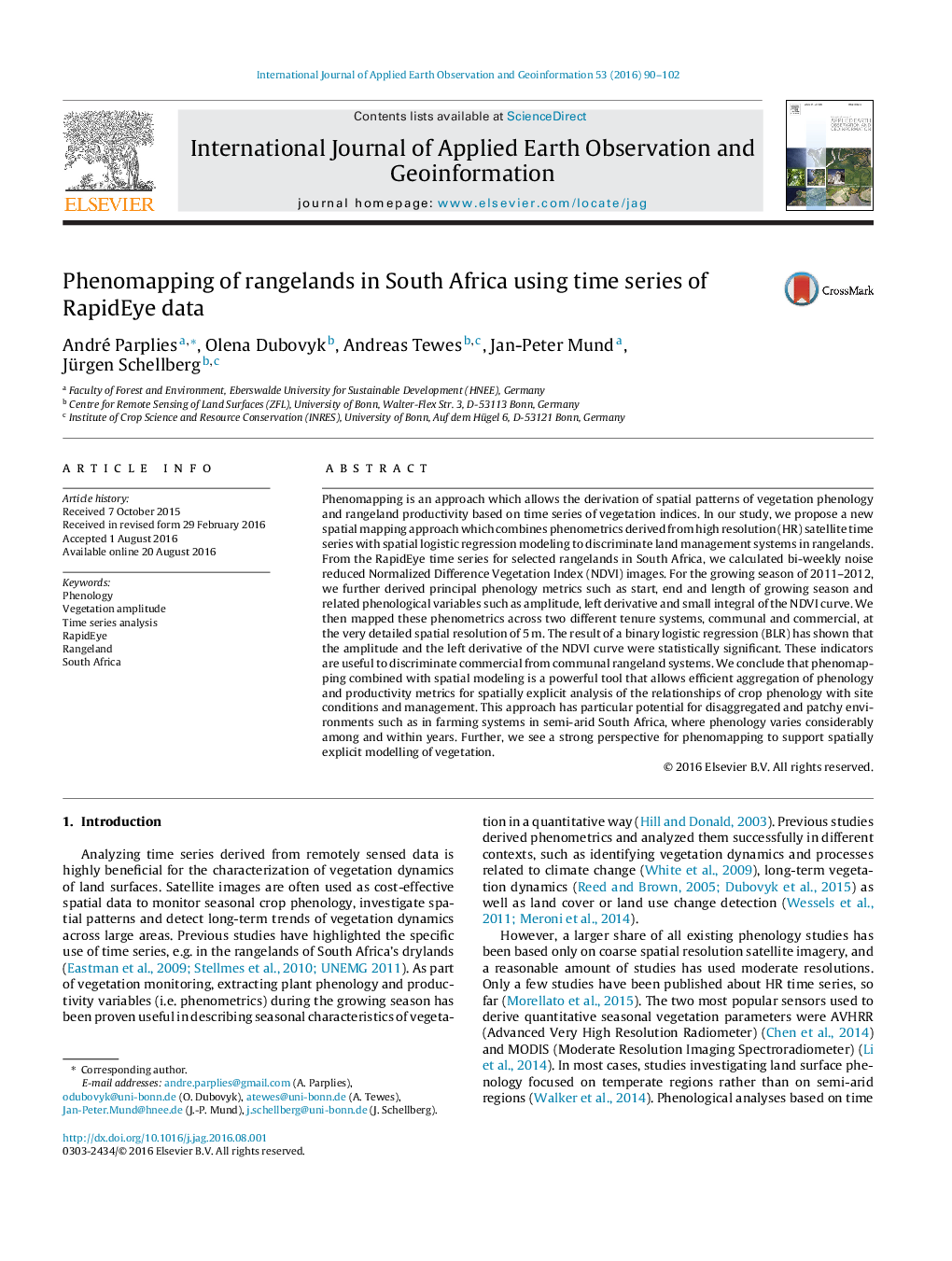
Phenomapping is an approach which allows the derivation of spatial patterns of vegetation phenology and rangeland productivity based on time series of vegetation indices. In our study, we propose a new spatial mapping approach which combines phenometrics derived from high resolution (HR) satellite time series with spatial logistic regression modeling to discriminate land management systems in rangelands. From the RapidEye time series for selected rangelands in South Africa, we calculated bi-weekly noise reduced Normalized Difference Vegetation Index (NDVI) images. For the growing season of 2011â¿¿2012, we further derived principal phenology metrics such as start, end and length of growing season and related phenological variables such as amplitude, left derivative and small integral of the NDVI curve. We then mapped these phenometrics across two different tenure systems, communal and commercial, at the very detailed spatial resolution of 5Â m. The result of a binary logistic regression (BLR) has shown that the amplitude and the left derivative of the NDVI curve were statistically significant. These indicators are useful to discriminate commercial from communal rangeland systems. We conclude that phenomapping combined with spatial modeling is a powerful tool that allows efficient aggregation of phenology and productivity metrics for spatially explicit analysis of the relationships of crop phenology with site conditions and management. This approach has particular potential for disaggregated and patchy environments such as in farming systems in semi-arid South Africa, where phenology varies considerably among and within years. Further, we see a strong perspective for phenomapping to support spatially explicit modelling of vegetation.
ناشر
Database: Elsevier - ScienceDirect (ساینس دایرکت)
Journal: International Journal of Applied Earth Observation and Geoinformation - Volume 53, December 2016, Pages 90-102
Journal: International Journal of Applied Earth Observation and Geoinformation - Volume 53, December 2016, Pages 90-102
نویسندگان
André Parplies, Olena Dubovyk, Andreas Tewes, Jan-Peter Mund, Jürgen Schellberg,