| کد مقاله | کد نشریه | سال انتشار | مقاله انگلیسی | نسخه تمام متن |
|---|---|---|---|---|
| 7443535 | 1483914 | 2014 | 10 صفحه PDF | دانلود رایگان |
عنوان انگلیسی مقاله ISI
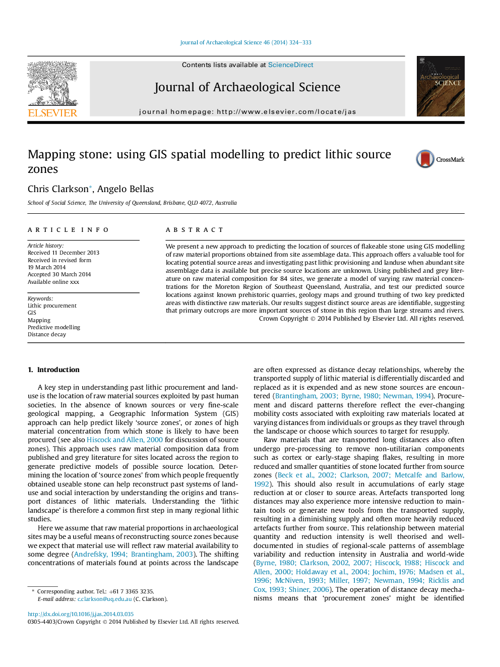
Mapping stone: using GIS spatial modelling to predict lithic source zones
دانلود مقاله + سفارش ترجمه
دانلود مقاله ISI انگلیسی
رایگان برای ایرانیان
کلمات کلیدی
موضوعات مرتبط
مهندسی و علوم پایه
مهندسی مواد
دانش مواد (عمومی)
پیش نمایش صفحه اول مقاله

چکیده انگلیسی
We present a new approach to predicting the location of sources of flakeable stone using GIS modelling of raw material proportions obtained from site assemblage data. This approach offers a valuable tool for locating potential source areas and investigating past lithic provisioning and landuse when abundant site assemblage data is available but precise source locations are unknown. Using published and grey literature on raw material composition for 84 sites, we generate a model of varying raw material concentrations for the Moreton Region of Southeast Queensland, Australia, and test our predicted source locations against known prehistoric quarries, geology maps and ground truthing of two key predicted areas with distinctive raw materials. Our results suggest distinct source areas are identifiable, suggesting that primary outcrops are more important sources of stone in this region than large streams and rivers.
ناشر
Database: Elsevier - ScienceDirect (ساینس دایرکت)
Journal: Journal of Archaeological Science - Volume 46, June 2014, Pages 324-333
Journal: Journal of Archaeological Science - Volume 46, June 2014, Pages 324-333
نویسندگان
Chris Clarkson, Angelo Bellas,