| کد مقاله | کد نشریه | سال انتشار | مقاله انگلیسی | نسخه تمام متن |
|---|---|---|---|---|
| 8866761 | 1621195 | 2018 | 17 صفحه PDF | دانلود رایگان |
عنوان انگلیسی مقاله ISI
Building an exposed soil composite processor (SCMaP) for mapping spatial and temporal characteristics of soils with Landsat imagery (1984-2014)
دانلود مقاله + سفارش ترجمه
دانلود مقاله ISI انگلیسی
رایگان برای ایرانیان
کلمات کلیدی
موضوعات مرتبط
مهندسی و علوم پایه
علوم زمین و سیارات
کامپیوتر در علوم زمین
پیش نمایش صفحه اول مقاله

چکیده انگلیسی
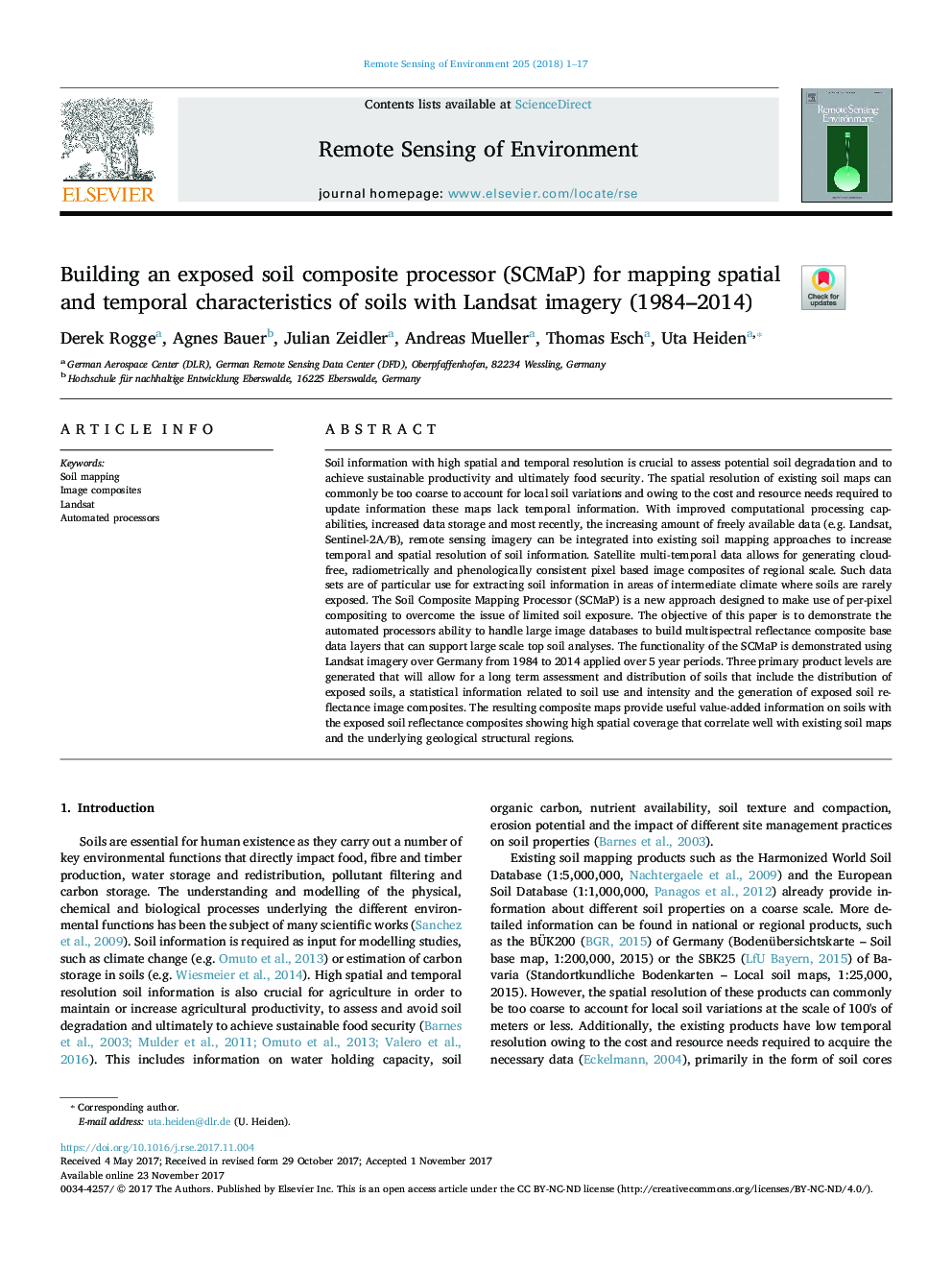
Soil information with high spatial and temporal resolution is crucial to assess potential soil degradation and to achieve sustainable productivity and ultimately food security. The spatial resolution of existing soil maps can commonly be too coarse to account for local soil variations and owing to the cost and resource needs required to update information these maps lack temporal information. With improved computational processing capabilities, increased data storage and most recently, the increasing amount of freely available data (e.g. Landsat, Sentinel-2A/B), remote sensing imagery can be integrated into existing soil mapping approaches to increase temporal and spatial resolution of soil information. Satellite multi-temporal data allows for generating cloud-free, radiometrically and phenologically consistent pixel based image composites of regional scale. Such data sets are of particular use for extracting soil information in areas of intermediate climate where soils are rarely exposed. The Soil Composite Mapping Processor (SCMaP) is a new approach designed to make use of per-pixel compositing to overcome the issue of limited soil exposure. The objective of this paper is to demonstrate the automated processors ability to handle large image databases to build multispectral reflectance composite base data layers that can support large scale top soil analyses. The functionality of the SCMaP is demonstrated using Landsat imagery over Germany from 1984 to 2014 applied over 5Â year periods. Three primary product levels are generated that will allow for a long term assessment and distribution of soils that include the distribution of exposed soils, a statistical information related to soil use and intensity and the generation of exposed soil reflectance image composites. The resulting composite maps provide useful value-added information on soils with the exposed soil reflectance composites showing high spatial coverage that correlate well with existing soil maps and the underlying geological structural regions.
ناشر
Database: Elsevier - ScienceDirect (ساینس دایرکت)
Journal: Remote Sensing of Environment - Volume 205, February 2018, Pages 1-17
Journal: Remote Sensing of Environment - Volume 205, February 2018, Pages 1-17
نویسندگان
Derek Rogge, Agnes Bauer, Julian Zeidler, Andreas Mueller, Thomas Esch, Uta Heiden,