| کد مقاله | کد نشریه | سال انتشار | مقاله انگلیسی | نسخه تمام متن |
|---|---|---|---|---|
| 10114271 | 1621392 | 2005 | 9 صفحه PDF | دانلود رایگان |
عنوان انگلیسی مقاله ISI
Glacial cover mapping (1987-1996) of the Cordillera Blanca (Peru) using satellite imagery
دانلود مقاله + سفارش ترجمه
دانلود مقاله ISI انگلیسی
رایگان برای ایرانیان
کلمات کلیدی
موضوعات مرتبط
مهندسی و علوم پایه
علوم زمین و سیارات
کامپیوتر در علوم زمین
پیش نمایش صفحه اول مقاله

چکیده انگلیسی
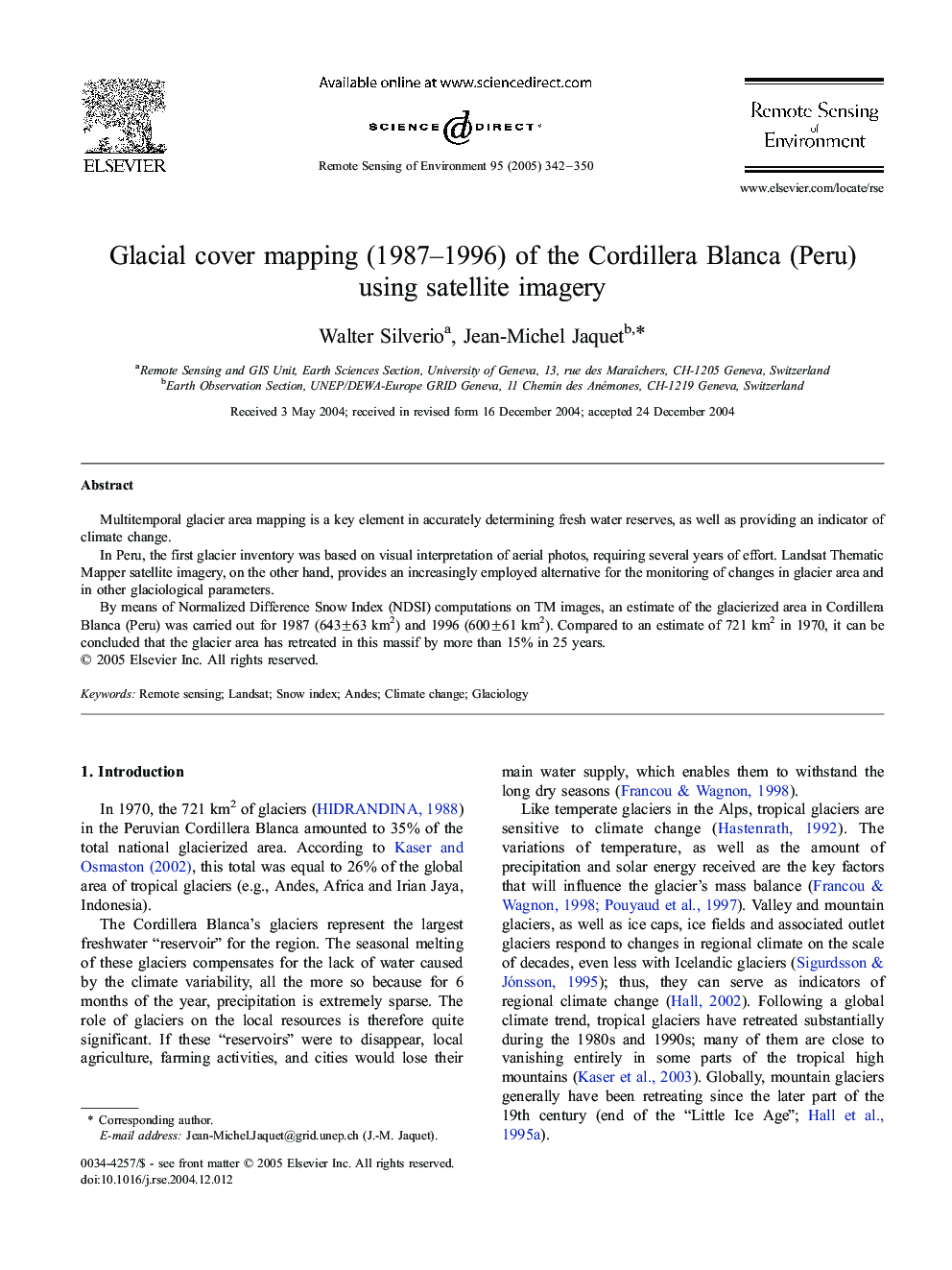
By means of Normalized Difference Snow Index (NDSI) computations on TM images, an estimate of the glacierized area in Cordillera Blanca (Peru) was carried out for 1987 (643±63 km2) and 1996 (600±61 km2). Compared to an estimate of 721 km2 in 1970, it can be concluded that the glacier area has retreated in this massif by more than 15% in 25 years.
ناشر
Database: Elsevier - ScienceDirect (ساینس دایرکت)
Journal: Remote Sensing of Environment - Volume 95, Issue 3, 15 April 2005, Pages 342-350
Journal: Remote Sensing of Environment - Volume 95, Issue 3, 15 April 2005, Pages 342-350
نویسندگان
Walter Silverio, Jean-Michel Jaquet,