| کد مقاله | کد نشریه | سال انتشار | مقاله انگلیسی | نسخه تمام متن |
|---|---|---|---|---|
| 5116408 | 1378096 | 2017 | 13 صفحه PDF | دانلود رایگان |
عنوان انگلیسی مقاله ISI
Multi-temporal monitoring of a regional riparian buffer network (>12,000Â km) with LiDAR and photogrammetric point clouds
دانلود مقاله + سفارش ترجمه
دانلود مقاله ISI انگلیسی
رایگان برای ایرانیان
کلمات کلیدی
موضوعات مرتبط
مهندسی و علوم پایه
مهندسی انرژی
انرژی های تجدید پذیر، توسعه پایدار و محیط زیست
پیش نمایش صفحه اول مقاله

چکیده انگلیسی
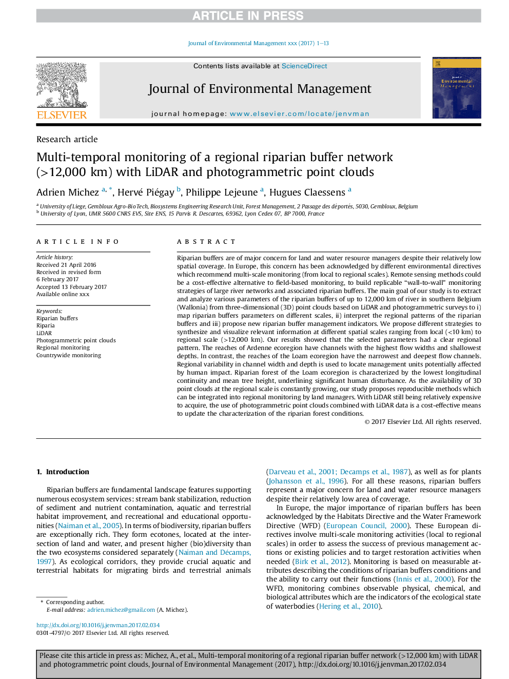
Riparian buffers are of major concern for land and water resource managers despite their relatively low spatial coverage. In Europe, this concern has been acknowledged by different environmental directives which recommend multi-scale monitoring (from local to regional scales). Remote sensing methods could be a cost-effective alternative to field-based monitoring, to build replicable “wall-to-wall” monitoring strategies of large river networks and associated riparian buffers. The main goal of our study is to extract and analyze various parameters of the riparian buffers of up to 12,000Â km of river in southern Belgium (Wallonia) from three-dimensional (3D) point clouds based on LiDAR and photogrammetric surveys to i) map riparian buffers parameters on different scales, ii) interpret the regional patterns of the riparian buffers and iii) propose new riparian buffer management indicators. We propose different strategies to synthesize and visualize relevant information at different spatial scales ranging from local (<10Â km) to regional scale (>12,000Â km). Our results showed that the selected parameters had a clear regional pattern. The reaches of Ardenne ecoregion have channels with the highest flow widths and shallowest depths. In contrast, the reaches of the Loam ecoregion have the narrowest and deepest flow channels. Regional variability in channel width and depth is used to locate management units potentially affected by human impact. Riparian forest of the Loam ecoregion is characterized by the lowest longitudinal continuity and mean tree height, underlining significant human disturbance. As the availability of 3D point clouds at the regional scale is constantly growing, our study proposes reproducible methods which can be integrated into regional monitoring by land managers. With LiDAR still being relatively expensive to acquire, the use of photogrammetric point clouds combined with LiDAR data is a cost-effective means to update the characterization of the riparian forest conditions.
ناشر
Database: Elsevier - ScienceDirect (ساینس دایرکت)
Journal: Journal of Environmental Management - Volume 202, Part 2, 1 November 2017, Pages 424-436
Journal: Journal of Environmental Management - Volume 202, Part 2, 1 November 2017, Pages 424-436
نویسندگان
Adrien Michez, Hervé Piégay, Philippe Lejeune, Hugues Claessens,