| کد مقاله | کد نشریه | سال انتشار | مقاله انگلیسی | نسخه تمام متن |
|---|---|---|---|---|
| 8866778 | 1621195 | 2018 | 14 صفحه PDF | دانلود رایگان |
عنوان انگلیسی مقاله ISI
Characterizing the encroachment of juniper forests into sub-humid and semi-arid prairies from 1984 to 2010 using PALSAR and Landsat data
دانلود مقاله + سفارش ترجمه
دانلود مقاله ISI انگلیسی
رایگان برای ایرانیان
کلمات کلیدی
موضوعات مرتبط
مهندسی و علوم پایه
علوم زمین و سیارات
کامپیوتر در علوم زمین
پیش نمایش صفحه اول مقاله

چکیده انگلیسی
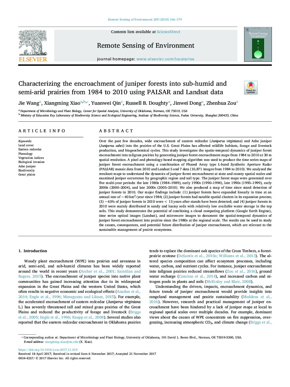
Over the past few decades, wide encroachment of eastern redcedar (Juniperus virginiana) and Ashe juniper (Juniperus ashei) into the prairies of the U.S. Great Plains has affected wildlife habitats, forage and livestock production, and biogeochemical cycles. This study investigates the spatio-temporal dynamics of juniper forest encroachment into tallgrass prairies by generating juniper forest encroachment maps from 1984 to 2010 at 30Â m spatial resolution. A pixel and phenology-based mapping algorithm was used to produce the time series maps of juniper forest encroachment using a combination of Phased Array type L-band Synthetic Aperture Radar (PALSAR) mosaic data from 2010 and Landsat 5 and 7 data (10,871 images from 1984 to 2010). We analyzed the resultant maps to understand the dynamics of juniper forest encroachment at state and county spatial scales and examined juniper occurrence by geographic region and soil type. The juniper forest maps were generated over five multi-year periods: the late 1980s (1984-1989), early 1990s (1990-1994), late 1990s (1995-1999), early 2000s (2000-2004), and late 2000s (2005-2010). We also produced a map of time since stand detection of juniper forests in 2010. Our major findings include: (1) juniper forests have expanded linearly in time at an annual rate of ~Â 40Â km2/year since 1984; (2) juniper forests had notable spatial clusters in its expansion process; (3) ~Â 65% of juniper forests in 2010 were <Â 15Â years after stands have been detected; and (4) juniper forests in 2010 were mainly distributed in sandy and loamy soils with relatively low available water storage in the top soils. This study demonstrates the potential of combining a cloud computing platform (Google Earth Engine), time series optical images (Landsat), and microwave images to document the spatial-temporal dynamics of juniper forest encroachment into prairies since the 1980s at the regional scale. The results can be used to study the causes, consequences, and potential future distribution of juniper encroachment, which are relevant to the sustainable management of prairie ecosystems.
ناشر
Database: Elsevier - ScienceDirect (ساینس دایرکت)
Journal: Remote Sensing of Environment - Volume 205, February 2018, Pages 166-179
Journal: Remote Sensing of Environment - Volume 205, February 2018, Pages 166-179
نویسندگان
Jie Wang, Xiangming Xiao, Yuanwei Qin, Russell B. Doughty, Jinwei Dong, Zhenhua Zou,