| کد مقاله | کد نشریه | سال انتشار | مقاله انگلیسی | نسخه تمام متن |
|---|---|---|---|---|
| 9490634 | 1629582 | 2005 | 27 صفحه PDF | دانلود رایگان |
عنوان انگلیسی مقاله ISI
Multi-scale characterization of soil variability within an agricultural landscape mosaic system in southern Cameroon
دانلود مقاله + سفارش ترجمه
دانلود مقاله ISI انگلیسی
رایگان برای ایرانیان
کلمات کلیدی
موضوعات مرتبط
مهندسی و علوم پایه
علوم زمین و سیارات
فرآیندهای سطح زمین
پیش نمایش صفحه اول مقاله

چکیده انگلیسی
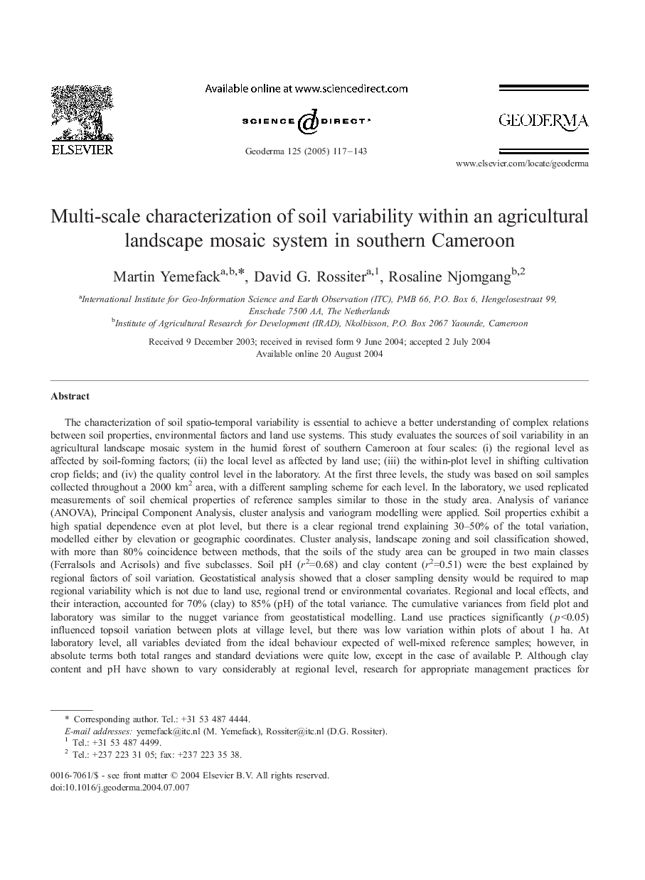
The characterization of soil spatio-temporal variability is essential to achieve a better understanding of complex relations between soil properties, environmental factors and land use systems. This study evaluates the sources of soil variability in an agricultural landscape mosaic system in the humid forest of southern Cameroon at four scales: (i) the regional level as affected by soil-forming factors; (ii) the local level as affected by land use; (iii) the within-plot level in shifting cultivation crop fields; and (iv) the quality control level in the laboratory. At the first three levels, the study was based on soil samples collected throughout a 2000 km2 area, with a different sampling scheme for each level. In the laboratory, we used replicated measurements of soil chemical properties of reference samples similar to those in the study area. Analysis of variance (ANOVA), Principal Component Analysis, cluster analysis and variogram modelling were applied. Soil properties exhibit a high spatial dependence even at plot level, but there is a clear regional trend explaining 30-50% of the total variation, modelled either by elevation or geographic coordinates. Cluster analysis, landscape zoning and soil classification showed, with more than 80% coincidence between methods, that the soils of the study area can be grouped in two main classes (Ferralsols and Acrisols) and five subclasses. Soil pH (r2=0.68) and clay content (r2=0.51) were the best explained by regional factors of soil variation. Geostatistical analysis showed that a closer sampling density would be required to map regional variability which is not due to land use, regional trend or environmental covariates. Regional and local effects, and their interaction, accounted for 70% (clay) to 85% (pH) of the total variance. The cumulative variances from field plot and laboratory was similar to the nugget variance from geostatistical modelling. Land use practices significantly (p<0.05) influenced topsoil variation between plots at village level, but there was low variation within plots of about 1 ha. At laboratory level, all variables deviated from the ideal behaviour expected of well-mixed reference samples; however, in absolute terms both total ranges and standard deviations were quite low, except in the case of available P. Although clay content and pH have shown to vary considerably at regional level, research for appropriate management practices for resource use should focus chiefly on processes and factors occurring at the local level, as influenced by a dynamical land use system.
ناشر
Database: Elsevier - ScienceDirect (ساینس دایرکت)
Journal: Geoderma - Volume 125, Issues 1â2, March 2005, Pages 117-143
Journal: Geoderma - Volume 125, Issues 1â2, March 2005, Pages 117-143
نویسندگان
Martin Yemefack, David G. Rossiter, Rosaline Njomgang,