| کد مقاله | کد نشریه | سال انتشار | مقاله انگلیسی | نسخه تمام متن |
|---|---|---|---|---|
| 9525800 | 1635812 | 2005 | 14 صفحه PDF | دانلود رایگان |
عنوان انگلیسی مقاله ISI
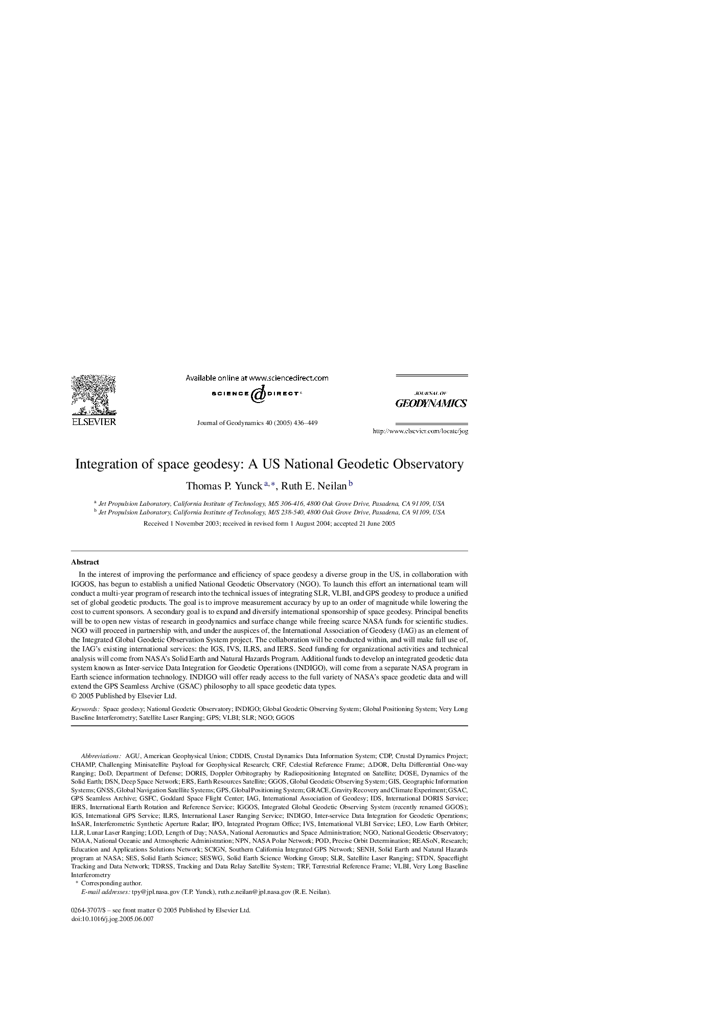
Integration of space geodesy: A US National Geodetic Observatory
دانلود مقاله + سفارش ترجمه
دانلود مقاله ISI انگلیسی
رایگان برای ایرانیان
کلمات کلیدی
NPNIGSCRFNOAALLRDODIDSIVSDSNIPOLEODeep space networkIAGGlobal Geodetic Observing SystemDORISGGOSGravity Recovery and Climate ExperimentInSARPODERSSLRCDPAGUGNSSIndigoSES - آنPrecise orbit determination - تعیین دقیق مدارReason - دلیلDose - دوز Interferometric synthetic aperture radar - رادار دیافراگم مصنوعی مصنوعیGRACE - رحمتNGO - سازمان غیر دولتیNational Oceanic and Atmospheric Administration - سازمان ملی اقیانوسی و جویnational aeronautics and space administration - سازمان ملی هوانوردی و فضاییGIS - سامانه اطلاعات جغرافیاییGPS - سامانه موقعیتیاب جهانیGlobal Positioning System - سیستم موقعیت یاب جهانیGeographic information systems - سیستم های اطلاعات جغرافیاییGlobal navigation satellite systems - سیستم های ماهواره ای ناوبری جهانیLength of day - طول روزLod - لودLunar Laser Ranging - لیزر قمری دامنهSatellite laser ranging - لیزر ماهواره ایNASA - ناساDepartment of Defense - وزارت دفاعResearch - پژوهش یا تحقیقChAMP - چامپ
موضوعات مرتبط
مهندسی و علوم پایه
علوم زمین و سیارات
فرآیندهای سطح زمین
پیش نمایش صفحه اول مقاله

چکیده انگلیسی
In the interest of improving the performance and efficiency of space geodesy a diverse group in the US, in collaboration with IGGOS, has begun to establish a unified National Geodetic Observatory (NGO). To launch this effort an international team will conduct a multi-year program of research into the technical issues of integrating SLR, VLBI, and GPS geodesy to produce a unified set of global geodetic products. The goal is to improve measurement accuracy by up to an order of magnitude while lowering the cost to current sponsors. A secondary goal is to expand and diversify international sponsorship of space geodesy. Principal benefits will be to open new vistas of research in geodynamics and surface change while freeing scarce NASA funds for scientific studies. NGO will proceed in partnership with, and under the auspices of, the International Association of Geodesy (IAG) as an element of the Integrated Global Geodetic Observation System project. The collaboration will be conducted within, and will make full use of, the IAG's existing international services: the IGS, IVS, ILRS, and IERS. Seed funding for organizational activities and technical analysis will come from NASA's Solid Earth and Natural Hazards Program. Additional funds to develop an integrated geodetic data system known as Inter-service Data Integration for Geodetic Operations (INDIGO), will come from a separate NASA program in Earth science information technology. INDIGO will offer ready access to the full variety of NASA's space geodetic data and will extend the GPS Seamless Archive (GSAC) philosophy to all space geodetic data types.
ناشر
Database: Elsevier - ScienceDirect (ساینس دایرکت)
Journal: Journal of Geodynamics - Volume 40, Issues 4â5, NovemberâDecember 2005, Pages 436-449
Journal: Journal of Geodynamics - Volume 40, Issues 4â5, NovemberâDecember 2005, Pages 436-449
نویسندگان
Thomas P. Yunck, Ruth E. Neilan,