| کد مقاله | کد نشریه | سال انتشار | مقاله انگلیسی | نسخه تمام متن |
|---|---|---|---|---|
| 1780858 | 1523911 | 2016 | 5 صفحه PDF | دانلود رایگان |
عنوان انگلیسی مقاله ISI
High-resolution Ceres High Altitude Mapping Orbit atlas derived from Dawn Framing Camera images
دانلود مقاله + سفارش ترجمه
دانلود مقاله ISI انگلیسی
رایگان برای ایرانیان
موضوعات مرتبط
مهندسی و علوم پایه
علوم زمین و سیارات
فیزیک زمین (ژئو فیزیک)
پیش نمایش صفحه اول مقاله

چکیده انگلیسی
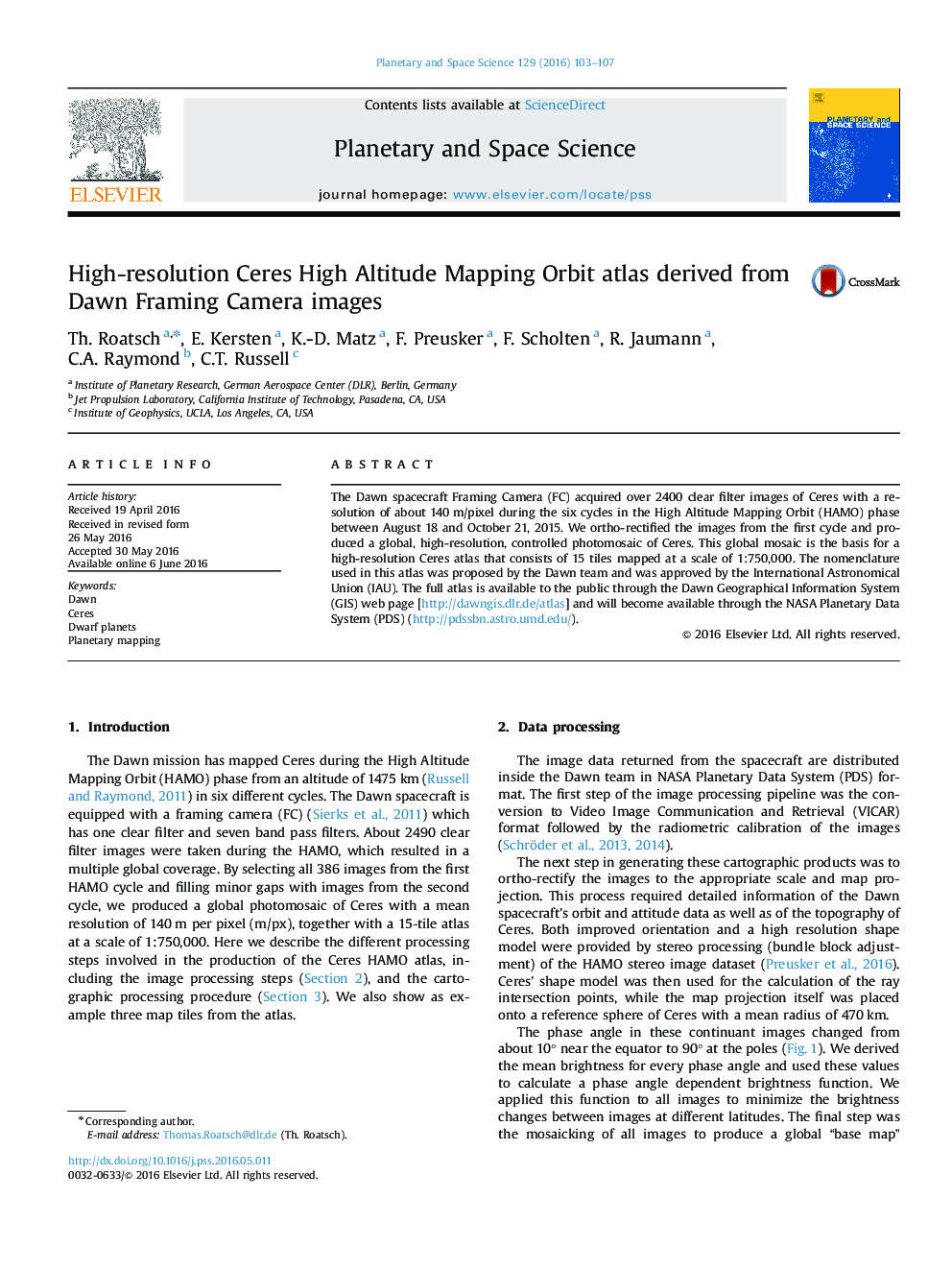
The Dawn spacecraft Framing Camera (FC) acquired over 2400 clear filter images of Ceres with a resolution of about 140Â m/pixel during the six cycles in the High Altitude Mapping Orbit (HAMO) phase between August 18 and October 21, 2015. We ortho-rectified the images from the first cycle and produced a global, high-resolution, controlled photomosaic of Ceres. This global mosaic is the basis for a high-resolution Ceres atlas that consists of 15 tiles mapped at a scale of 1:750,000. The nomenclature used in this atlas was proposed by the Dawn team and was approved by the International Astronomical Union (IAU). The full atlas is available to the public through the Dawn Geographical Information System (GIS) web page [http://dawngis.dlr.de/atlas] and will become available through the NASA Planetary Data System (PDS) (http://pdssbn.astro.umd.edu/).
ناشر
Database: Elsevier - ScienceDirect (ساینس دایرکت)
Journal: Planetary and Space Science - Volume 129, 15 September 2016, Pages 103-107
Journal: Planetary and Space Science - Volume 129, 15 September 2016, Pages 103-107
نویسندگان
Th. Roatsch, E. Kersten, K.-D. Matz, F. Preusker, F. Scholten, R. Jaumann, C.A. Raymond, C.T. Russell,