| کد مقاله | کد نشریه | سال انتشار | مقاله انگلیسی | نسخه تمام متن |
|---|---|---|---|---|
| 4576981 | 1629990 | 2012 | 10 صفحه PDF | دانلود رایگان |
عنوان انگلیسی مقاله ISI
Quantifying riparian zone structure from airborne LiDAR: Vegetation filtering, anisotropic interpolation, and uncertainty propagation
دانلود مقاله + سفارش ترجمه
دانلود مقاله ISI انگلیسی
رایگان برای ایرانیان
کلمات کلیدی
موضوعات مرتبط
مهندسی و علوم پایه
علوم زمین و سیارات
فرآیندهای سطح زمین
پیش نمایش صفحه اول مقاله

چکیده انگلیسی
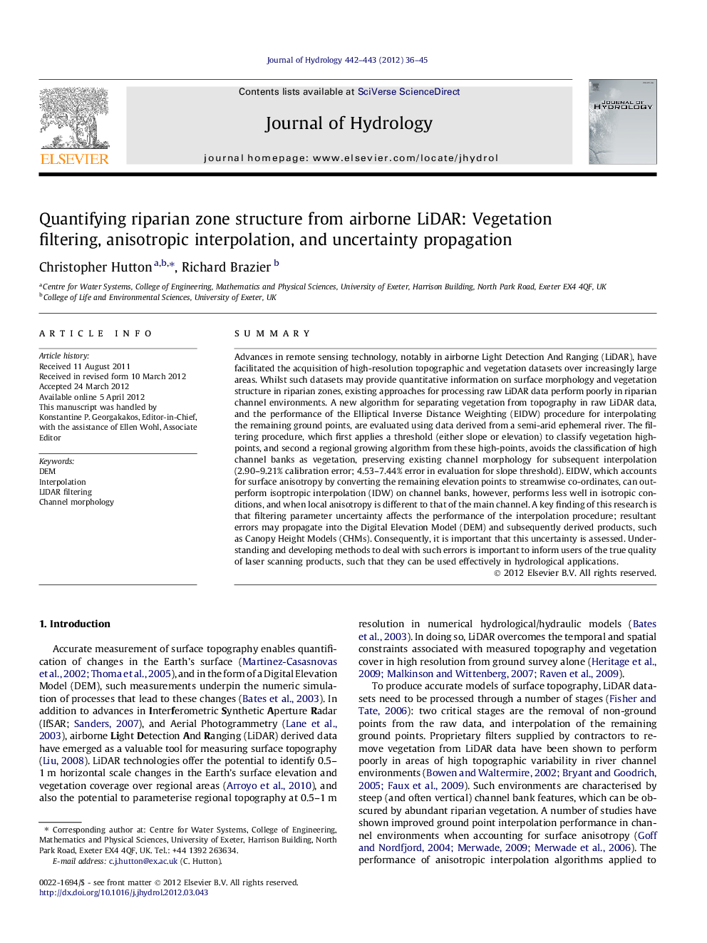
⺠LiDAR derived elevation data require vegetation filtering and interpolation. ⺠A new algorithm removed vegetation whilst preserving channel morphology. ⺠Anisotropic interpolation is important to consider for channel morphology. ⺠Errors can propagate between stages in DEM preparation if not considered. ⺠Errors in DEM preparation need to be identified to inform end user hydrologists.
ناشر
Database: Elsevier - ScienceDirect (ساینس دایرکت)
Journal: Journal of Hydrology - Volumes 442â443, 6 June 2012, Pages 36-45
Journal: Journal of Hydrology - Volumes 442â443, 6 June 2012, Pages 36-45
نویسندگان
Christopher Hutton, Richard Brazier,