| کد مقاله | کد نشریه | سال انتشار | مقاله انگلیسی | نسخه تمام متن |
|---|---|---|---|---|
| 4693468 | 1636865 | 2010 | 8 صفحه PDF | دانلود رایگان |
عنوان انگلیسی مقاله ISI
Surface deformation in Houston, Texas using GPS
دانلود مقاله + سفارش ترجمه
دانلود مقاله ISI انگلیسی
رایگان برای ایرانیان
کلمات کلیدی
موضوعات مرتبط
مهندسی و علوم پایه
علوم زمین و سیارات
فرآیندهای سطح زمین
پیش نمایش صفحه اول مقاله

چکیده انگلیسی
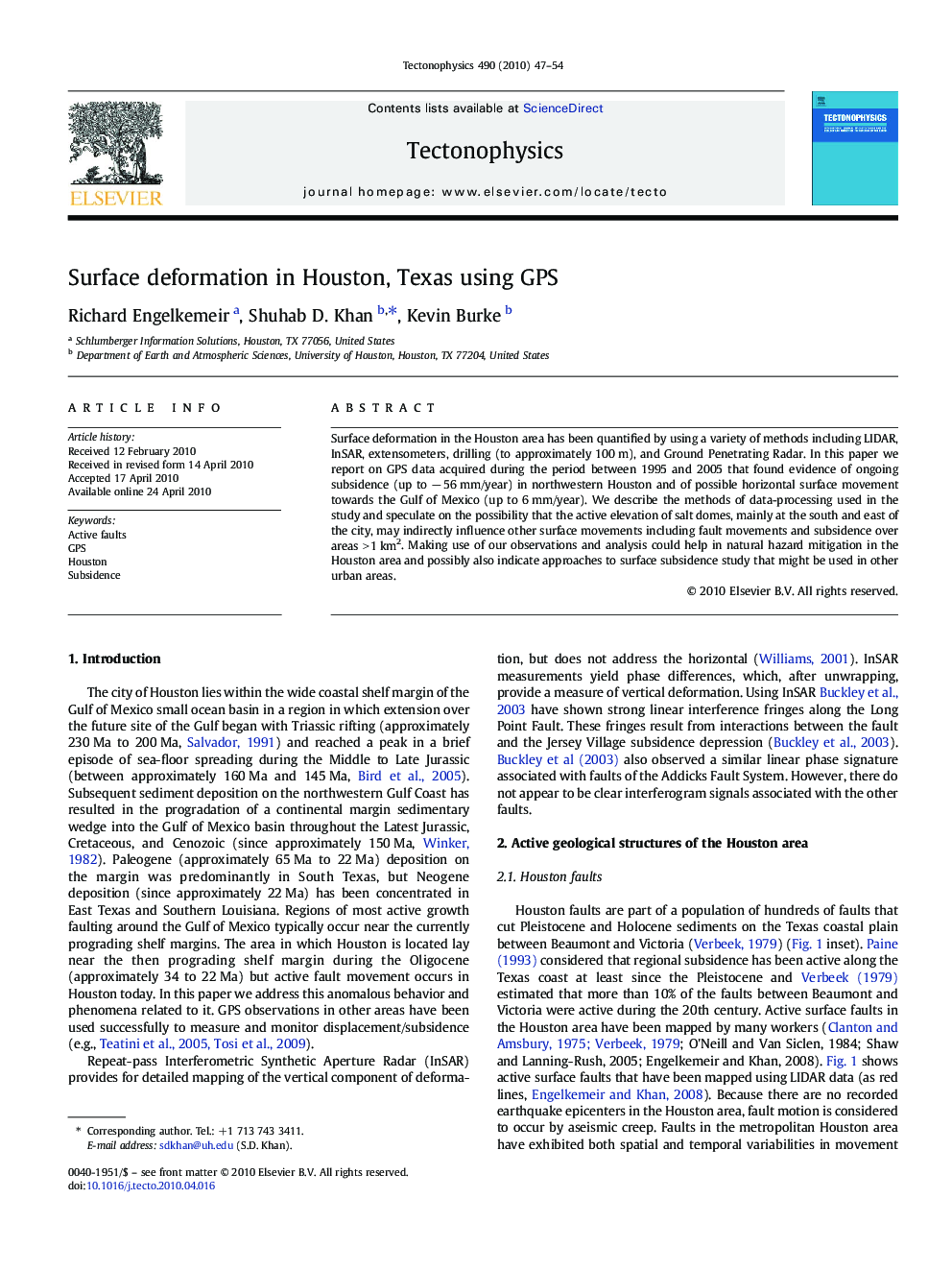
Surface deformation in the Houston area has been quantified by using a variety of methods including LIDAR, InSAR, extensometers, drilling (to approximately 100 m), and Ground Penetrating Radar. In this paper we report on GPS data acquired during the period between 1995 and 2005 that found evidence of ongoing subsidence (up to â 56 mm/year) in northwestern Houston and of possible horizontal surface movement towards the Gulf of Mexico (up to 6 mm/year). We describe the methods of data-processing used in the study and speculate on the possibility that the active elevation of salt domes, mainly at the south and east of the city, may indirectly influence other surface movements including fault movements and subsidence over areas > 1 km2. Making use of our observations and analysis could help in natural hazard mitigation in the Houston area and possibly also indicate approaches to surface subsidence study that might be used in other urban areas.
ناشر
Database: Elsevier - ScienceDirect (ساینس دایرکت)
Journal: Tectonophysics - Volume 490, Issues 1â2, 15 July 2010, Pages 47-54
Journal: Tectonophysics - Volume 490, Issues 1â2, 15 July 2010, Pages 47-54
نویسندگان
Richard Engelkemeir, Shuhab D. Khan, Kevin Burke,