| کد مقاله | کد نشریه | سال انتشار | مقاله انگلیسی | نسخه تمام متن |
|---|---|---|---|---|
| 4758984 | 1420866 | 2016 | 14 صفحه PDF | دانلود رایگان |
عنوان انگلیسی مقاله ISI
Is scale really a challenge in evapotranspiration estimation? A multi-scale study in the Heihe oasis using thermal remote sensing and the three-temperature model
دانلود مقاله + سفارش ترجمه
دانلود مقاله ISI انگلیسی
رایگان برای ایرانیان
کلمات کلیدی
موضوعات مرتبط
مهندسی و علوم پایه
علوم زمین و سیارات
علم هواشناسی
پیش نمایش صفحه اول مقاله

چکیده انگلیسی
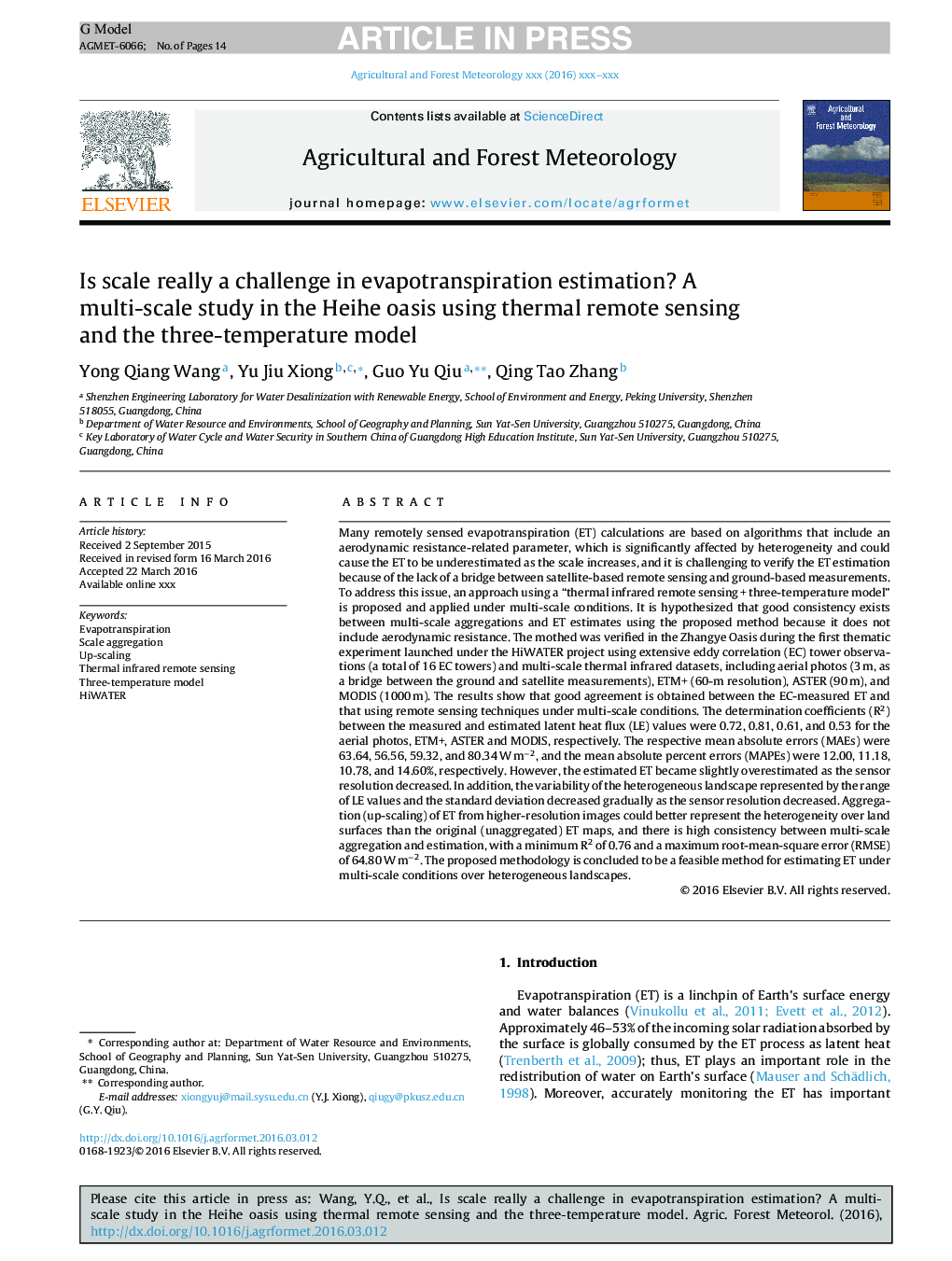
Many remotely sensed evapotranspiration (ET) calculations are based on algorithms that include an aerodynamic resistance-related parameter, which is significantly affected by heterogeneity and could cause the ET to be underestimated as the scale increases, and it is challenging to verify the ET estimation because of the lack of a bridge between satellite-based remote sensing and ground-based measurements. To address this issue, an approach using a “thermal infrared remote sensing + three-temperature model” is proposed and applied under multi-scale conditions. It is hypothesized that good consistency exists between multi-scale aggregations and ET estimates using the proposed method because it does not include aerodynamic resistance. The mothed was verified in the Zhangye Oasis during the first thematic experiment launched under the HiWATER project using extensive eddy correlation (EC) tower observations (a total of 16 EC towers) and multi-scale thermal infrared datasets, including aerial photos (3 m, as a bridge between the ground and satellite measurements), ETM+ (60-m resolution), ASTER (90 m), and MODIS (1000 m). The results show that good agreement is obtained between the EC-measured ET and that using remote sensing techniques under multi-scale conditions. The determination coefficients (R2) between the measured and estimated latent heat flux (LE) values were 0.72, 0.81, 0.61, and 0.53 for the aerial photos, ETM+, ASTER and MODIS, respectively. The respective mean absolute errors (MAEs) were 63.64, 56.56, 59.32, and 80.34 W mâ2, and the mean absolute percent errors (MAPEs) were 12.00, 11.18, 10.78, and 14.60%, respectively. However, the estimated ET became slightly overestimated as the sensor resolution decreased. In addition, the variability of the heterogeneous landscape represented by the range of LE values and the standard deviation decreased gradually as the sensor resolution decreased. Aggregation (up-scaling) of ET from higher-resolution images could better represent the heterogeneity over land surfaces than the original (unaggregated) ET maps, and there is high consistency between multi-scale aggregation and estimation, with a minimum R2 of 0.76 and a maximum root-mean-square error (RMSE) of 64.80 W mâ2. The proposed methodology is concluded to be a feasible method for estimating ET under multi-scale conditions over heterogeneous landscapes.
ناشر
Database: Elsevier - ScienceDirect (ساینس دایرکت)
Journal: Agricultural and Forest Meteorology - Volumes 230â231, 15 December 2016, Pages 128-141
Journal: Agricultural and Forest Meteorology - Volumes 230â231, 15 December 2016, Pages 128-141
نویسندگان
Yong Qiang Wang, Yu Jiu Xiong, Guo Yu Qiu, Qing Tao Zhang,