| کد مقاله | کد نشریه | سال انتشار | مقاله انگلیسی | نسخه تمام متن |
|---|---|---|---|---|
| 5758260 | 1622887 | 2017 | 16 صفحه PDF | دانلود رایگان |
عنوان انگلیسی مقاله ISI
Evaluation of SWAT simulated soil moisture at catchment scale by field measurements and Landsat derived indices
دانلود مقاله + سفارش ترجمه
دانلود مقاله ISI انگلیسی
رایگان برای ایرانیان
کلمات کلیدی
موضوعات مرتبط
علوم زیستی و بیوفناوری
علوم کشاورزی و بیولوژیک
علوم زراعت و اصلاح نباتات
پیش نمایش صفحه اول مقاله

چکیده انگلیسی
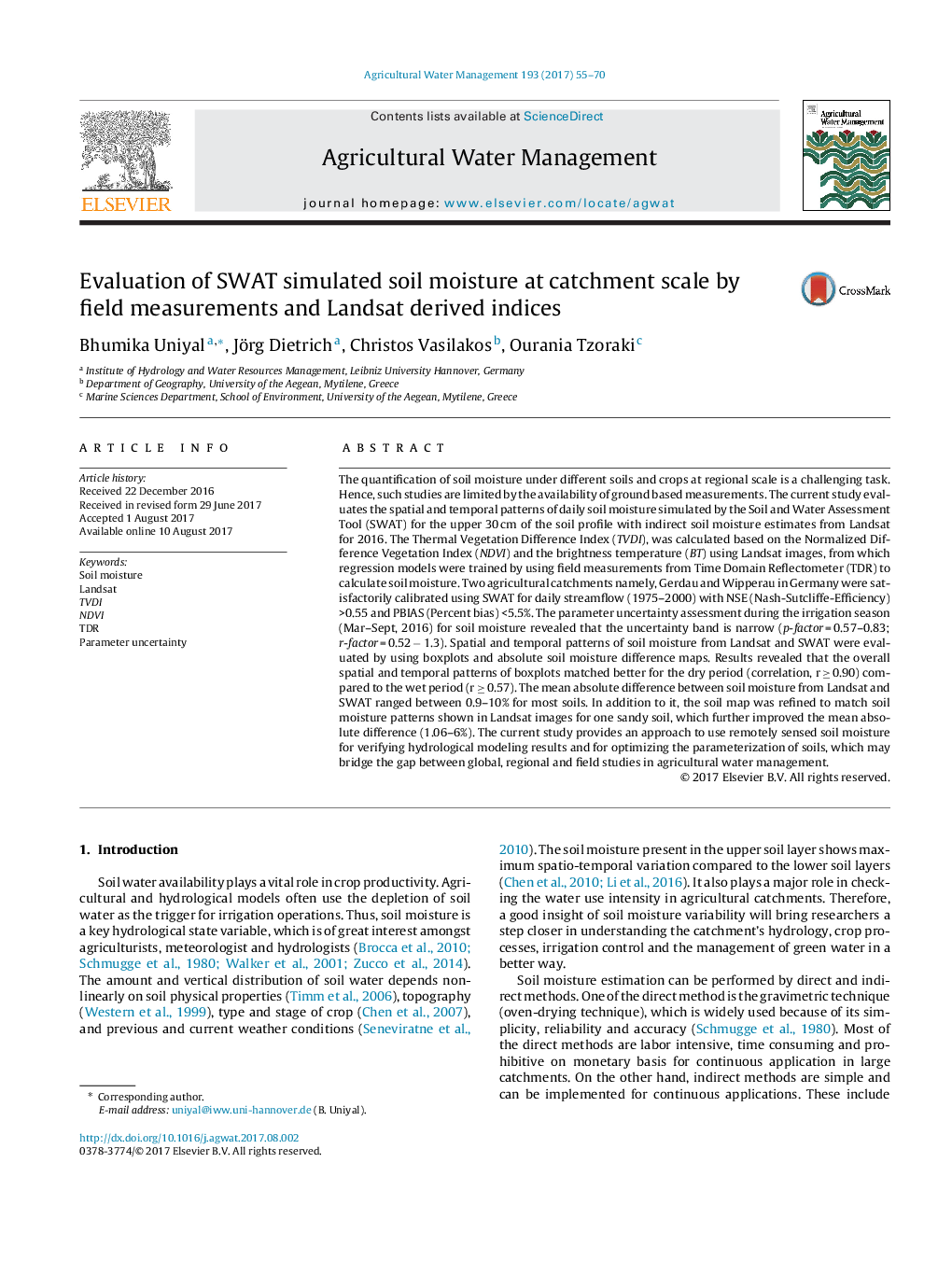
The quantification of soil moisture under different soils and crops at regional scale is a challenging task. Hence, such studies are limited by the availability of ground based measurements. The current study evaluates the spatial and temporal patterns of daily soil moisture simulated by the Soil and Water Assessment Tool (SWAT) for the upper 30 cm of the soil profile with indirect soil moisture estimates from Landsat for 2016. The Thermal Vegetation Difference Index (TVDI), was calculated based on the Normalized Difference Vegetation Index (NDVI) and the brightness temperature (BT) using Landsat images, from which regression models were trained by using field measurements from Time Domain Reflectometer (TDR) to calculate soil moisture. Two agricultural catchments namely, Gerdau and Wipperau in Germany were satisfactorily calibrated using SWAT for daily streamflow (1975-2000) with NSE (Nash-Sutcliffe-Efficiency) >0.55 and PBIAS (Percent bias) <5.5%. The parameter uncertainty assessment during the irrigation season (Mar-Sept, 2016) for soil moisture revealed that the uncertainty band is narrow (p-factor = 0.57-0.83; r-factor = 0.52 â 1.3). Spatial and temporal patterns of soil moisture from Landsat and SWAT were evaluated by using boxplots and absolute soil moisture difference maps. Results revealed that the overall spatial and temporal patterns of boxplots matched better for the dry period (correlation, r â¥Â 0.90) compared to the wet period (r â¥Â 0.57). The mean absolute difference between soil moisture from Landsat and SWAT ranged between 0.9-10% for most soils. In addition to it, the soil map was refined to match soil moisture patterns shown in Landsat images for one sandy soil, which further improved the mean absolute difference (1.06-6%). The current study provides an approach to use remotely sensed soil moisture for verifying hydrological modeling results and for optimizing the parameterization of soils, which may bridge the gap between global, regional and field studies in agricultural water management.
ناشر
Database: Elsevier - ScienceDirect (ساینس دایرکت)
Journal: Agricultural Water Management - Volume 193, November 2017, Pages 55-70
Journal: Agricultural Water Management - Volume 193, November 2017, Pages 55-70
نویسندگان
Bhumika Uniyal, Jörg Dietrich, Christos Vasilakos, Ourania Tzoraki,