| کد مقاله | کد نشریه | سال انتشار | مقاله انگلیسی | نسخه تمام متن |
|---|---|---|---|---|
| 6347648 | 1621271 | 2013 | 21 صفحه PDF | دانلود رایگان |
عنوان انگلیسی مقاله ISI
Spectroscopic remote sensing of the distribution and persistence of oil from the Deepwater Horizon spill in Barataria Bay marshes
دانلود مقاله + سفارش ترجمه
دانلود مقاله ISI انگلیسی
رایگان برای ایرانیان
کلمات کلیدی
موضوعات مرتبط
مهندسی و علوم پایه
علوم زمین و سیارات
کامپیوتر در علوم زمین
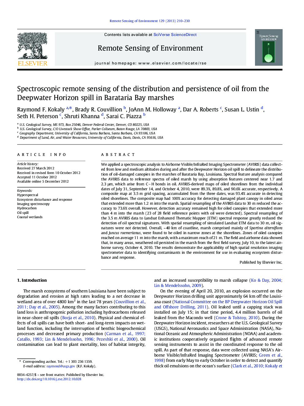
پیش نمایش صفحه اول مقاله

چکیده انگلیسی
⺠AVIRIS data analyzed to delineate marsh oiled during the Deepwater Horizon incident ⺠Spectral feature analysis used to detect oiled marsh was 93.4% accurate. ⺠Oil damage to the marsh at some sites resulted in erosion of exposed sediments. ⺠Oiled zones were detected along 40 km of shoreline in Barataria Bay, Louisiana. ⺠The Bay Jimmy area contained a high concentration of oiled marsh in narrow zones.
ناشر
Database: Elsevier - ScienceDirect (ساینس دایرکت)
Journal: Remote Sensing of Environment - Volume 129, 15 February 2013, Pages 210-230
Journal: Remote Sensing of Environment - Volume 129, 15 February 2013, Pages 210-230
نویسندگان
Raymond F. Kokaly, Brady R. Couvillion, JoAnn M. Holloway, Dar A. Roberts, Susan L. Ustin, Seth H. Peterson, Shruti Khanna, Sarai C. Piazza,