| کد مقاله | کد نشریه | سال انتشار | مقاله انگلیسی | نسخه تمام متن |
|---|---|---|---|---|
| 7449978 | 1484043 | 2018 | 14 صفحه PDF | دانلود رایگان |
عنوان انگلیسی مقاله ISI
Effects of longitudinal valley slopes on runup of the 2011 Tohoku tsunami on the Sanriku coast, northeastern Japan
دانلود مقاله + سفارش ترجمه
دانلود مقاله ISI انگلیسی
رایگان برای ایرانیان
موضوعات مرتبط
مهندسی و علوم پایه
علوم زمین و سیارات
زمین شناسی
پیش نمایش صفحه اول مقاله

چکیده انگلیسی
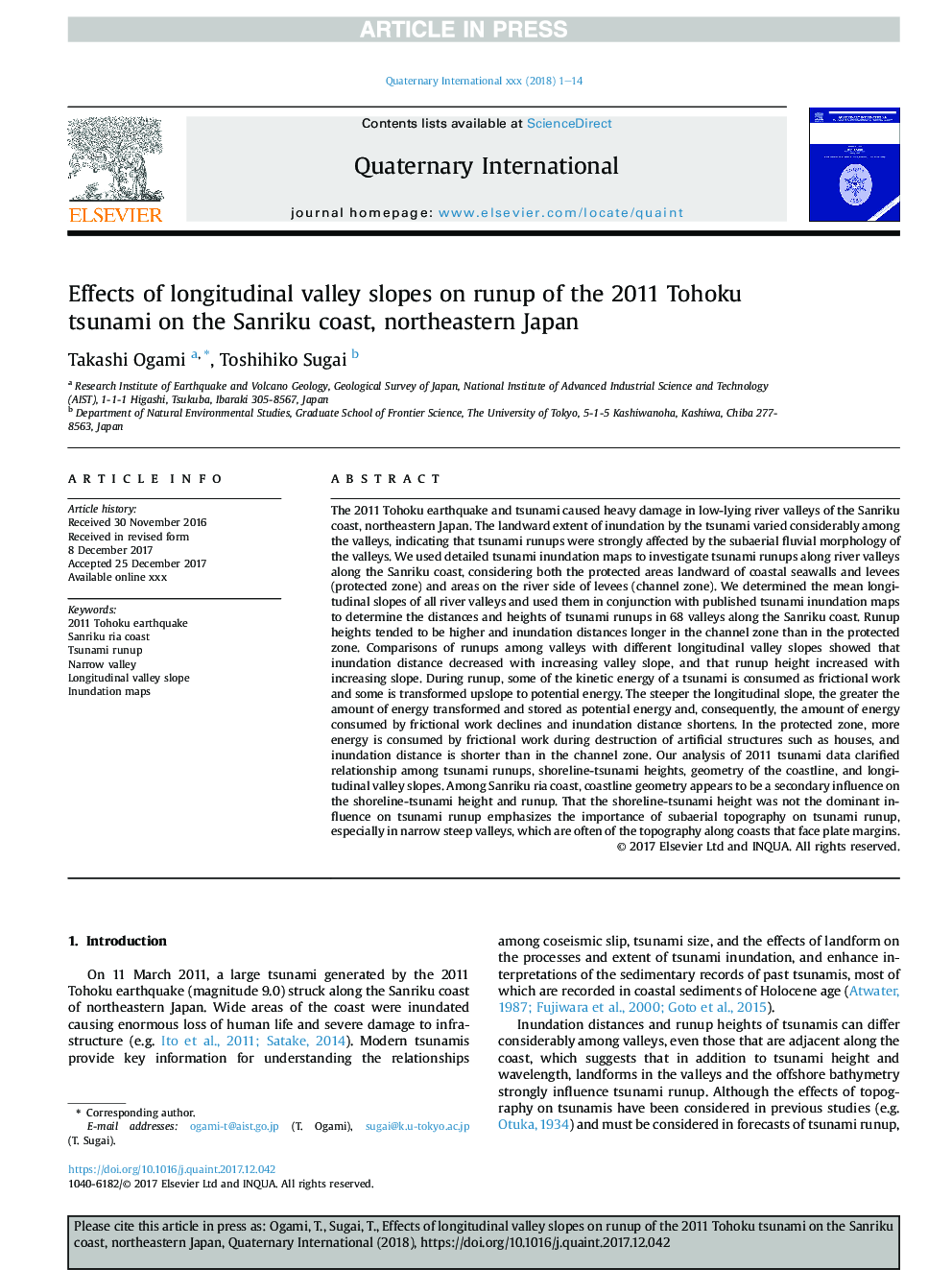
The 2011 Tohoku earthquake and tsunami caused heavy damage in low-lying river valleys of the Sanriku coast, northeastern Japan. The landward extent of inundation by the tsunami varied considerably among the valleys, indicating that tsunami runups were strongly affected by the subaerial fluvial morphology of the valleys. We used detailed tsunami inundation maps to investigate tsunami runups along river valleys along the Sanriku coast, considering both the protected areas landward of coastal seawalls and levees (protected zone) and areas on the river side of levees (channel zone). We determined the mean longitudinal slopes of all river valleys and used them in conjunction with published tsunami inundation maps to determine the distances and heights of tsunami runups in 68 valleys along the Sanriku coast. Runup heights tended to be higher and inundation distances longer in the channel zone than in the protected zone. Comparisons of runups among valleys with different longitudinal valley slopes showed that inundation distance decreased with increasing valley slope, and that runup height increased with increasing slope. During runup, some of the kinetic energy of a tsunami is consumed as frictional work and some is transformed upslope to potential energy. The steeper the longitudinal slope, the greater the amount of energy transformed and stored as potential energy and, consequently, the amount of energy consumed by frictional work declines and inundation distance shortens. In the protected zone, more energy is consumed by frictional work during destruction of artificial structures such as houses, and inundation distance is shorter than in the channel zone. Our analysis of 2011 tsunami data clarified relationship among tsunami runups, shoreline-tsunami heights, geometry of the coastline, and longitudinal valley slopes. Among Sanriku ria coast, coastline geometry appears to be a secondary influence on the shoreline-tsunami height and runup. That the shoreline-tsunami height was not the dominant influence on tsunami runup emphasizes the importance of subaerial topography on tsunami runup, especially in narrow steep valleys, which are often of the topography along coasts that face plate margins.
ناشر
Database: Elsevier - ScienceDirect (ساینس دایرکت)
Journal: Quaternary International - Volume 471, Part B, 1 April 2018, Pages 253-266
Journal: Quaternary International - Volume 471, Part B, 1 April 2018, Pages 253-266
نویسندگان
Takashi Ogami, Toshihiko Sugai,