| کد مقاله | کد نشریه | سال انتشار | مقاله انگلیسی | نسخه تمام متن |
|---|---|---|---|---|
| 8867782 | 1621784 | 2018 | 17 صفحه PDF | دانلود رایگان |
عنوان انگلیسی مقاله ISI
Integrating airborne hyperspectral imagery and LiDAR for volcano mapping and monitoring through image classification
دانلود مقاله + سفارش ترجمه
دانلود مقاله ISI انگلیسی
رایگان برای ایرانیان
کلمات کلیدی
volcano - آتشفشانHyperspectral imaging - تصویربرداری فراطیفیDebris flow - جریان واریزه Hydrothermal alteration - دگرگونی هیدروترمال یا دگرسانی هیدروترمالAirborne Remote Sensing - سنجش از دور هواImaging spectroscopy - طیف سنجی تصویربرداریLiDAR - لیدار Geological mapping - نقشه برداری زمین شناسیImage fusion - همجوشی تصویر
موضوعات مرتبط
مهندسی و علوم پایه
علوم زمین و سیارات
کامپیوتر در علوم زمین
پیش نمایش صفحه اول مقاله

چکیده انگلیسی
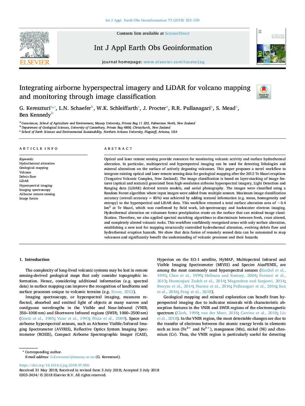
Optical and laser remote sensing provide resources for monitoring volcanic activity and surface hydrothermal alteration. In particular, multispectral and hyperspectral imaging can be used for detecting lithologies and mineral alterations on the surface of actively degassing volcanoes. This paper proposes a novel workflow to integrate existing optical and laser remote sensing data for geological mapping after the 2012 Te Maari eruptions (Tongariro Volcanic Complex, New Zealand). The image classification is based on layer-stacking of image features (optical and textural) generated from high-resolution airborne hyperspectral imagery, Light Detection and Ranging data (LiDAR) derived terrain models, and aerial photography. The images were classified using a Random Forest algorithm where input images were added from multiple sensors. Maximum image classification accuracy (overall accuracyâ¯=â¯85%) was achieved by adding textural information (e.g. mean, homogeneity and entropy) to the hyperspectral and LiDAR data. This workflow returned a total surface alteration area of â¼0.4 km2 at Te Maari, which was confirmed by field work, lab-spectroscopy and backscatter electron imaging. Hydrothermal alteration on volcanoes forms precipitation crusts on the surface that can mislead image classification. Therefore, we also applied spectral matching algorithms to discriminate between fresh, crust altered, and completely altered volcanic rocks. This workflow confidently recognized areas with only surface alteration, establishing a new tool for mapping structurally controlled hydrothermal alteration, evolving debris flow and hydrothermal eruption hazards. We show that data fusion of remotely sensed data can be automated to map volcanoes and significantly benefit the understanding of volcanic processes and their hazards.
ناشر
Database: Elsevier - ScienceDirect (ساینس دایرکت)
Journal: International Journal of Applied Earth Observation and Geoinformation - Volume 73, December 2018, Pages 323-339
Journal: International Journal of Applied Earth Observation and Geoinformation - Volume 73, December 2018, Pages 323-339
نویسندگان
G. Kereszturi, L.N. Schaefer, W.K. Schleiffarth, J. Procter, R.R. Pullanagari, S. Mead, Ben Kennedy,