| کد مقاله | کد نشریه | سال انتشار | مقاله انگلیسی | نسخه تمام متن |
|---|---|---|---|---|
| 8884589 | 1626590 | 2018 | 20 صفحه PDF | دانلود رایگان |
عنوان انگلیسی مقاله ISI
Classification mapping of salt marsh vegetation by flexible monthly NDVI time-series using Landsat imagery
دانلود مقاله + سفارش ترجمه
دانلود مقاله ISI انگلیسی
رایگان برای ایرانیان
موضوعات مرتبط
مهندسی و علوم پایه
علوم زمین و سیارات
زمین شناسی
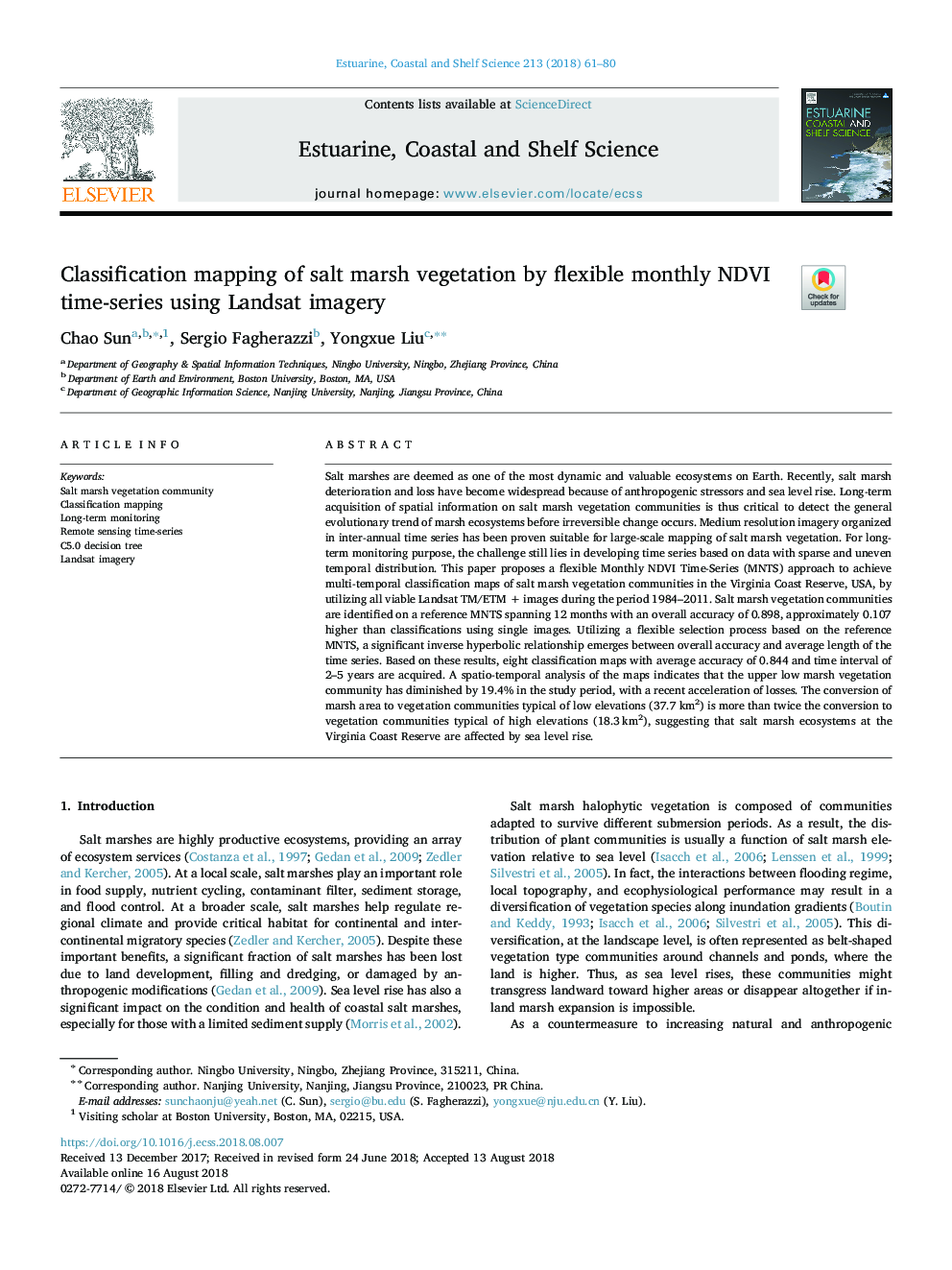
پیش نمایش صفحه اول مقاله

چکیده انگلیسی
Salt marshes are deemed as one of the most dynamic and valuable ecosystems on Earth. Recently, salt marsh deterioration and loss have become widespread because of anthropogenic stressors and sea level rise. Long-term acquisition of spatial information on salt marsh vegetation communities is thus critical to detect the general evolutionary trend of marsh ecosystems before irreversible change occurs. Medium resolution imagery organized in inter-annual time series has been proven suitable for large-scale mapping of salt marsh vegetation. For long-term monitoring purpose, the challenge still lies in developing time series based on data with sparse and uneven temporal distribution. This paper proposes a flexible Monthly NDVI Time-Series (MNTS) approach to achieve multi-temporal classification maps of salt marsh vegetation communities in the Virginia Coast Reserve, USA, by utilizing all viable Landsat TM/ETM + images during the period 1984-2011. Salt marsh vegetation communities are identified on a reference MNTS spanning 12 months with an overall accuracy of 0.898, approximately 0.107 higher than classifications using single images. Utilizing a flexible selection process based on the reference MNTS, a significant inverse hyperbolic relationship emerges between overall accuracy and average length of the time series. Based on these results, eight classification maps with average accuracy of 0.844 and time interval of 2-5 years are acquired. A spatio-temporal analysis of the maps indicates that the upper low marsh vegetation community has diminished by 19.4% in the study period, with a recent acceleration of losses. The conversion of marsh area to vegetation communities typical of low elevations (37.7 km2) is more than twice the conversion to vegetation communities typical of high elevations (18.3â¯km2), suggesting that salt marsh ecosystems at the Virginia Coast Reserve are affected by sea level rise.
ناشر
Database: Elsevier - ScienceDirect (ساینس دایرکت)
Journal: Estuarine, Coastal and Shelf Science - Volume 213, 30 November 2018, Pages 61-80
Journal: Estuarine, Coastal and Shelf Science - Volume 213, 30 November 2018, Pages 61-80
نویسندگان
Chao Sun, Sergio Fagherazzi, Yongxue Liu,