| کد مقاله | کد نشریه | سال انتشار | مقاله انگلیسی | نسخه تمام متن |
|---|---|---|---|---|
| 9526923 | 1636971 | 2005 | 12 صفحه PDF | دانلود رایگان |
عنوان انگلیسی مقاله ISI
Late Quaternary faulting along the western margin of the Poronaysk Lowland in central Sakhalin, Russia
دانلود مقاله + سفارش ترجمه
دانلود مقاله ISI انگلیسی
رایگان برای ایرانیان
کلمات کلیدی
موضوعات مرتبط
مهندسی و علوم پایه
علوم زمین و سیارات
فرآیندهای سطح زمین
پیش نمایش صفحه اول مقاله

چکیده انگلیسی
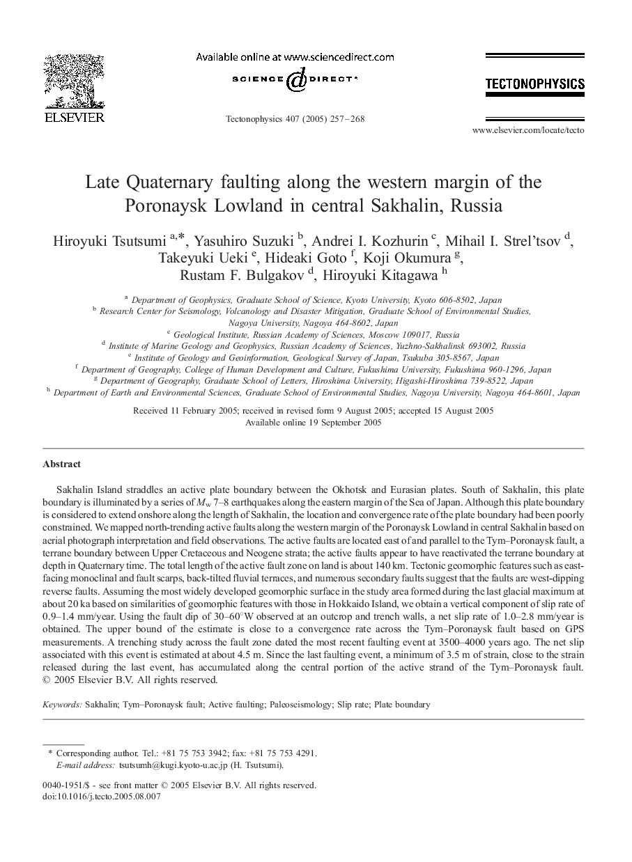
Sakhalin Island straddles an active plate boundary between the Okhotsk and Eurasian plates. South of Sakhalin, this plate boundary is illuminated by a series of Mw 7-8 earthquakes along the eastern margin of the Sea of Japan. Although this plate boundary is considered to extend onshore along the length of Sakhalin, the location and convergence rate of the plate boundary had been poorly constrained. We mapped north-trending active faults along the western margin of the Poronaysk Lowland in central Sakhalin based on aerial photograph interpretation and field observations. The active faults are located east of and parallel to the Tym-Poronaysk fault, a terrane boundary between Upper Cretaceous and Neogene strata; the active faults appear to have reactivated the terrane boundary at depth in Quaternary time. The total length of the active fault zone on land is about 140 km. Tectonic geomorphic features such as east-facing monoclinal and fault scarps, back-tilted fluvial terraces, and numerous secondary faults suggest that the faults are west-dipping reverse faults. Assuming the most widely developed geomorphic surface in the study area formed during the last glacial maximum at about 20 ka based on similarities of geomorphic features with those in Hokkaido Island, we obtain a vertical component of slip rate of 0.9-1.4 mm/year. Using the fault dip of 30-60°W observed at an outcrop and trench walls, a net slip rate of 1.0-2.8 mm/year is obtained. The upper bound of the estimate is close to a convergence rate across the Tym-Poronaysk fault based on GPS measurements. A trenching study across the fault zone dated the most recent faulting event at 3500-4000 years ago. The net slip associated with this event is estimated at about 4.5 m. Since the last faulting event, a minimum of 3.5 m of strain, close to the strain released during the last event, has accumulated along the central portion of the active strand of the Tym-Poronaysk fault.
ناشر
Database: Elsevier - ScienceDirect (ساینس دایرکت)
Journal: Tectonophysics - Volume 407, Issues 3â4, 7 October 2005, Pages 257-268
Journal: Tectonophysics - Volume 407, Issues 3â4, 7 October 2005, Pages 257-268
نویسندگان
Hiroyuki Tsutsumi, Yasuhiro Suzuki, Andrei I. Kozhurin, Mihail I. Strel'tsov, Takeyuki Ueki, Hideaki Goto, Koji Okumura, Rustam F. Bulgakov, Hiroyuki Kitagawa,