| کد مقاله | کد نشریه | سال انتشار | مقاله انگلیسی | نسخه تمام متن |
|---|---|---|---|---|
| 10120105 | 1639417 | 2005 | 7 صفحه PDF | دانلود رایگان |
عنوان انگلیسی مقاله ISI
Analysis of land-use/land-cover change in the Carpathian region based on remote sensing techniques
دانلود مقاله + سفارش ترجمه
دانلود مقاله ISI انگلیسی
رایگان برای ایرانیان
کلمات کلیدی
موضوعات مرتبط
مهندسی و علوم پایه
علوم زمین و سیارات
ژئوشیمی و پترولوژی
پیش نمایش صفحه اول مقاله

چکیده انگلیسی
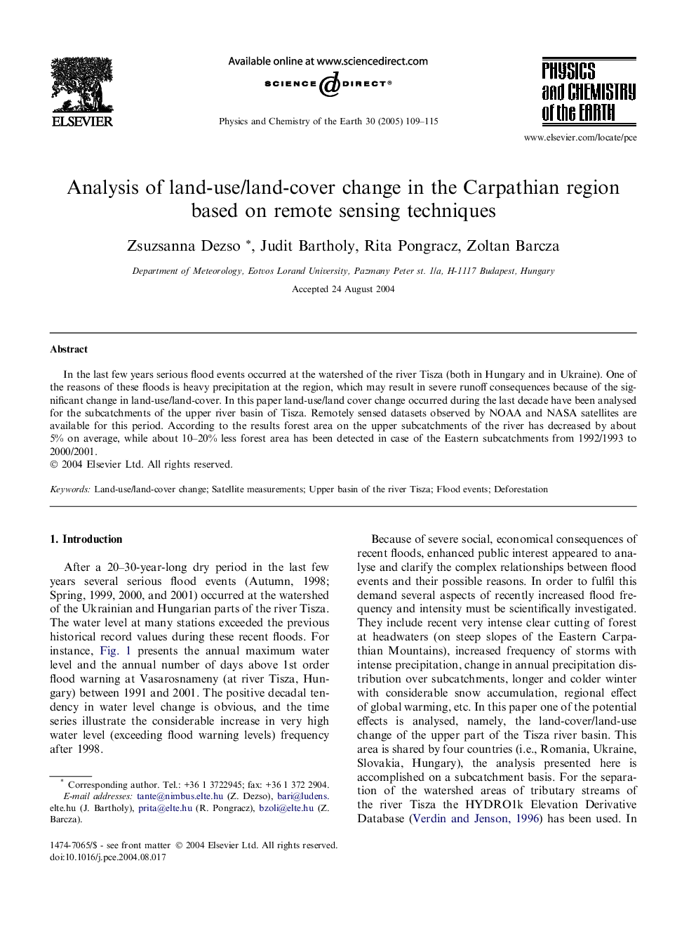
In the last few years serious flood events occurred at the watershed of the river Tisza (both in Hungary and in Ukraine). One of the reasons of these floods is heavy precipitation at the region, which may result in severe runoff consequences because of the significant change in land-use/land-cover. In this paper land-use/land cover change occurred during the last decade have been analysed for the subcatchments of the upper river basin of Tisza. Remotely sensed datasets observed by NOAA and NASA satellites are available for this period. According to the results forest area on the upper subcatchments of the river has decreased by about 5% on average, while about 10-20% less forest area has been detected in case of the Eastern subcatchments from 1992/1993 to 2000/2001.
ناشر
Database: Elsevier - ScienceDirect (ساینس دایرکت)
Journal: Physics and Chemistry of the Earth, Parts A/B/C - Volume 30, Issues 1â3, 2005, Pages 109-115
Journal: Physics and Chemistry of the Earth, Parts A/B/C - Volume 30, Issues 1â3, 2005, Pages 109-115
نویسندگان
Zsuzsanna Dezso, Judit Bartholy, Rita Pongracz, Zoltan Barcza,