| کد مقاله | کد نشریه | سال انتشار | مقاله انگلیسی | نسخه تمام متن |
|---|---|---|---|---|
| 11010254 | 1810985 | 2018 | 13 صفحه PDF | دانلود رایگان |
عنوان انگلیسی مقاله ISI
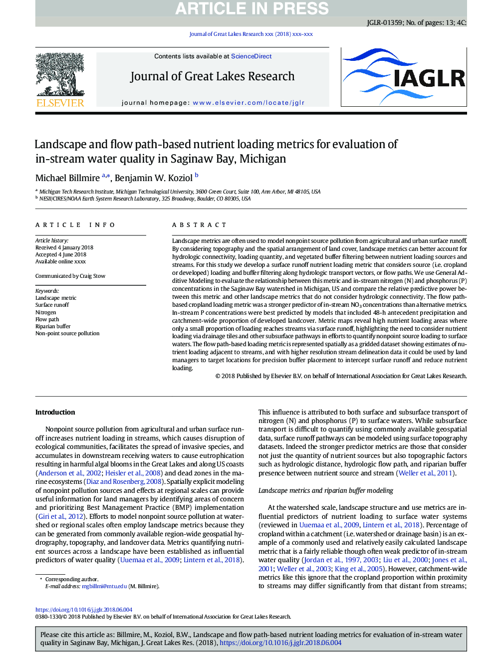
Landscape and flow path-based nutrient loading metrics for evaluation of in-stream water quality in Saginaw Bay, Michigan
دانلود مقاله + سفارش ترجمه
دانلود مقاله ISI انگلیسی
رایگان برای ایرانیان
کلمات کلیدی
موضوعات مرتبط
مهندسی و علوم پایه
علوم زمین و سیارات
علوم زمین و سیاره ای (عمومی)
پیش نمایش صفحه اول مقاله

چکیده انگلیسی
Landscape metrics are often used to model nonpoint source pollution from agricultural and urban surface runoff. By considering topography and the spatial arrangement of land cover, landscape metrics can better account for hydrologic connectivity, loading quantity, and vegetated buffer filtering between nutrient loading sources and streams. For this study we develop a surface runoff nutrient loading metric that considers source (i.e. cropland or developed) loading and buffer filtering along hydrologic transport vectors, or flow paths. We use General Additive Modeling to evaluate the relationship between this metric and in-stream nitrogen (N) and phosphorus (P) concentrations in the Saginaw Bay watershed in Michigan, US and compare the relative predictive power between this metric and other landscape metrics that do not consider hydrologic connectivity. The flow path-based cropland loading metric was a stronger predictor of in-stream NO3 concentrations than alternative metrics. In-stream P concentrations were best predicted by models that included 48-h antecedent precipitation and catchment-wide proportion of developed landcover. Metric maps reveal high nutrient loading areas where only a small proportion of loading reaches streams via surface runoff, highlighting the need to consider nutrient loading via drainage tiles and other subsurface pathways in efforts to quantify nonpoint source loading to surface waters. The flow path-based loading metric is represented spatially as a gridded dataset showing estimates of nutrient loading adjacent to streams, and with higher resolution stream delineation data it could be used by land managers to target locations for precision buffer placement to intercept surface runoff and reduce nutrient loading.
ناشر
Database: Elsevier - ScienceDirect (ساینس دایرکت)
Journal: Journal of Great Lakes Research - Volume 44, Issue 5, October 2018, Pages 1068-1080
Journal: Journal of Great Lakes Research - Volume 44, Issue 5, October 2018, Pages 1068-1080
نویسندگان
Michael Billmire, Benjamin W. Koziol,