| کد مقاله | کد نشریه | سال انتشار | مقاله انگلیسی | نسخه تمام متن |
|---|---|---|---|---|
| 4744921 | 1641904 | 2007 | 18 صفحه PDF | دانلود رایگان |
عنوان انگلیسی مقاله ISI
Spatial predictions of geological rock mass properties based on in-situ interpretations of multi-dimensional seismic data
دانلود مقاله + سفارش ترجمه
دانلود مقاله ISI انگلیسی
رایگان برای ایرانیان
کلمات کلیدی
Safety assessment - ارزیابی ایمنیHazard assessment - ارزیابی خطرTomographic images - تصاویر توموگرافیEngineering geology - زمین شناسی مهندسیNeural networks - شبکه های عصبیrock mass characterization - مشخصات توده سنگUnderground mining - معدن زیرزمینیGeoengineering - مهندسی ژئوماتیکSelf-Organizing Maps - نقشه های خودمراقبتی
موضوعات مرتبط
مهندسی و علوم پایه
علوم زمین و سیارات
مهندسی ژئوتکنیک و زمین شناسی مهندسی
پیش نمایش صفحه اول مقاله

چکیده انگلیسی
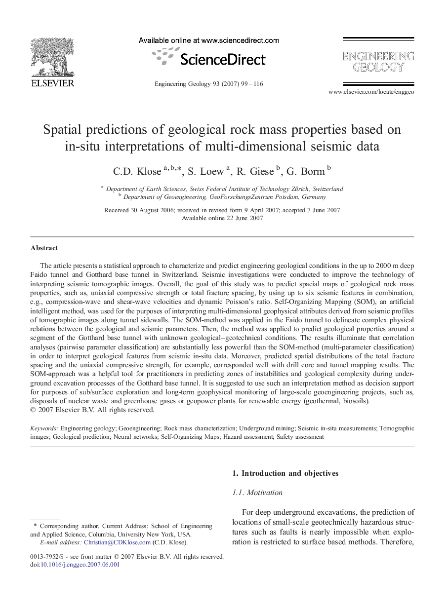
The article presents a statistical approach to characterize and predict engineering geological conditions in the up to 2000Â m deep Faido tunnel and Gotthard base tunnel in Switzerland. Seismic investigations were conducted to improve the technology of interpreting seismic tomographic images. Overall, the goal of this study was to predict spacial maps of geological rock mass properties, such as, uniaxial compressive strength or total fracture spacing, by using up to six seismic features in combination, e.g., compression-wave and shear-wave velocities and dynamic Poisson's ratio. Self-Organizing Mapping (SOM), an artificial intelligent method, was used for the purposes of interpreting multi-dimensional geophysical attributes derived from seismic profiles of tomographic images along tunnel sidewalls. The SOM-method was applied in the Faido tunnel to delineate complex physical relations between the geological and seismic parameters. Then, the method was applied to predict geological properties around a segment of the Gotthard base tunnel with unknown geological-geotechnical conditions. The results illuminate that correlation analyses (pairwise parameter classification) are substantially less powerful than the SOM-method (multi-parameter classification) in order to interpret geological features from seismic in-situ data. Moreover, predicted spatial distributions of the total fracture spacing and the uniaxial compressive strength, for example, corresponded well with drill core and tunnel mapping results. The SOM-approach was a helpful tool for practitioners in predicting zones of instabilities and geological complexity during underground excavation processes of the Gotthard base tunnel. It is suggested to use such an interpretation method as decision support for purposes of sub/surface exploration and long-term geophysical monitoring of large-scale geoengineering projects, such as, disposals of nuclear waste and greenhouse gases or geopower plants for renewable energy (geothermal, biosoils).
ناشر
Database: Elsevier - ScienceDirect (ساینس دایرکت)
Journal: Engineering Geology - Volume 93, Issues 3â4, 30 August 2007, Pages 99-116
Journal: Engineering Geology - Volume 93, Issues 3â4, 30 August 2007, Pages 99-116
نویسندگان
C.D. Klose, S. Loew, R. Giese, G. Borm,