| کد مقاله | کد نشریه | سال انتشار | مقاله انگلیسی | نسخه تمام متن |
|---|---|---|---|---|
| 5781619 | 1636693 | 2017 | 15 صفحه PDF | دانلود رایگان |
عنوان انگلیسی مقاله ISI
Application and evaluation of a rapid response earthquake-triggered landslide model to the 25 April 2015 Mw 7.8 Gorkha earthquake, Nepal
دانلود مقاله + سفارش ترجمه
دانلود مقاله ISI انگلیسی
رایگان برای ایرانیان
موضوعات مرتبط
مهندسی و علوم پایه
علوم زمین و سیارات
فرآیندهای سطح زمین
پیش نمایش صفحه اول مقاله

چکیده انگلیسی
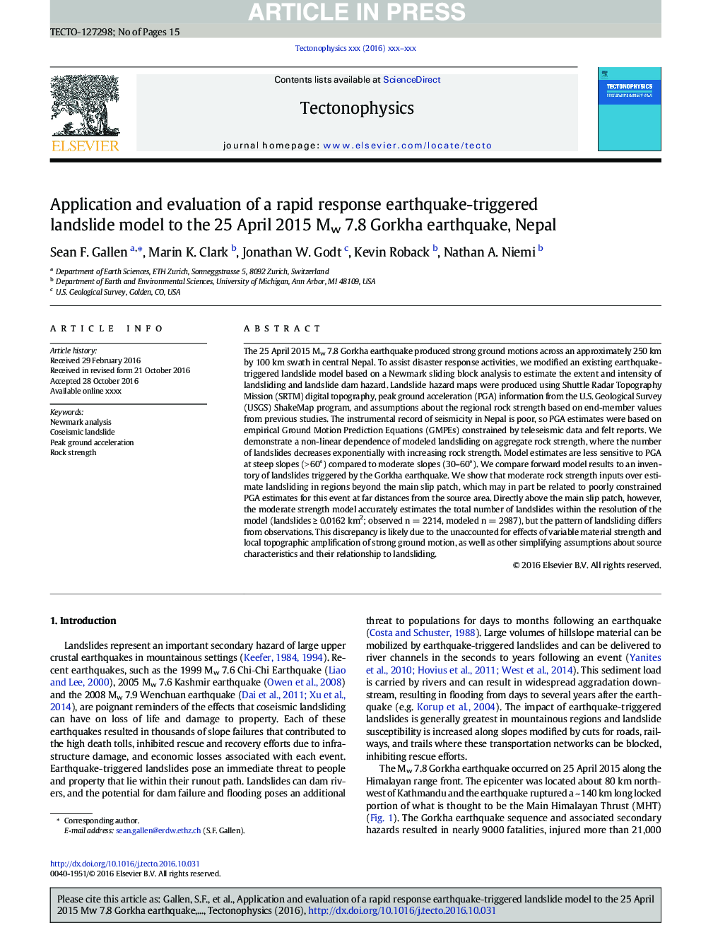
The 25 April 2015 Mw 7.8 Gorkha earthquake produced strong ground motions across an approximately 250 km by 100 km swath in central Nepal. To assist disaster response activities, we modified an existing earthquake-triggered landslide model based on a Newmark sliding block analysis to estimate the extent and intensity of landsliding and landslide dam hazard. Landslide hazard maps were produced using Shuttle Radar Topography Mission (SRTM) digital topography, peak ground acceleration (PGA) information from the U.S. Geological Survey (USGS) ShakeMap program, and assumptions about the regional rock strength based on end-member values from previous studies. The instrumental record of seismicity in Nepal is poor, so PGA estimates were based on empirical Ground Motion Prediction Equations (GMPEs) constrained by teleseismic data and felt reports. We demonstrate a non-linear dependence of modeled landsliding on aggregate rock strength, where the number of landslides decreases exponentially with increasing rock strength. Model estimates are less sensitive to PGA at steep slopes (> 60°) compared to moderate slopes (30-60°). We compare forward model results to an inventory of landslides triggered by the Gorkha earthquake. We show that moderate rock strength inputs over estimate landsliding in regions beyond the main slip patch, which may in part be related to poorly constrained PGA estimates for this event at far distances from the source area. Directly above the main slip patch, however, the moderate strength model accurately estimates the total number of landslides within the resolution of the model (landslides â¥Â 0.0162 km2; observed n = 2214, modeled n = 2987), but the pattern of landsliding differs from observations. This discrepancy is likely due to the unaccounted for effects of variable material strength and local topographic amplification of strong ground motion, as well as other simplifying assumptions about source characteristics and their relationship to landsliding.
ناشر
Database: Elsevier - ScienceDirect (ساینس دایرکت)
Journal: Tectonophysics - Volumes 714â715, 13 September 2017, Pages 173-187
Journal: Tectonophysics - Volumes 714â715, 13 September 2017, Pages 173-187
نویسندگان
Sean F. Gallen, Marin K. Clark, Jonathan W. Godt, Kevin Roback, Nathan A. Niemi,