| کد مقاله | کد نشریه | سال انتشار | مقاله انگلیسی | نسخه تمام متن |
|---|---|---|---|---|
| 6536628 | 1420845 | 2018 | 16 صفحه PDF | دانلود رایگان |
عنوان انگلیسی مقاله ISI
Annual forest aboveground biomass changes mapped using ICESat/GLAS measurements, historical inventory data, and time-series optical and radar imagery for Guangdong province, China
دانلود مقاله + سفارش ترجمه
دانلود مقاله ISI انگلیسی
رایگان برای ایرانیان
کلمات کلیدی
موضوعات مرتبط
مهندسی و علوم پایه
علوم زمین و سیارات
علم هواشناسی
پیش نمایش صفحه اول مقاله

چکیده انگلیسی
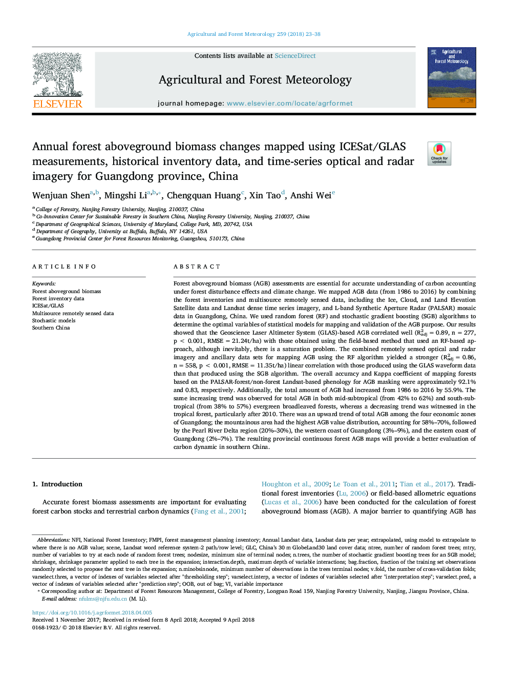
Forest aboveground biomass (AGB) assessments are essential for accurate understanding of carbon accounting under forest disturbance effects and climate change. We mapped AGB data (from 1986 to 2016) by combining the forest inventories and multisource remotely sensed data, including the Ice, Cloud, and Land Elevation Satellite data and Landsat dense time series imagery, and L-band Synthetic Aperture Radar (PALSAR) mosaic data in Guangdong, China. We used random forest (RF) and stochastic gradient boosting (SGB) algorithms to determine the optimal variables of statistical models for mapping and validation of the AGB purpose. Our results showed that the Geoscience Laser Altimeter System (GLAS)-based AGB correlated well (R2adjâ¯=â¯0.89, nâ¯=â¯277, pâ¯<â¯0.001, RMSEâ¯=â¯21.24t/ha) with those obtained using the field-based method that used an RF-based approach, although inevitably, there is a saturation problem. The combined remotely sensed optical and radar imagery and ancillary data sets for mapping AGB using the RF algorithm yielded a stronger (R2adjâ¯=â¯0.86, nâ¯=â¯558, pâ¯<â¯0.001, RMSEâ¯=â¯11.35t/ha) linear correlation with those produced using the GLAS waveform data than that produced using the SGB algorithm. The overall accuracy and Kappa coefficient of mapping forests based on the PALSAR-forest/non-forest Landsat-based phenology for AGB masking were approximately 92.1% and 0.83, respectively. Additionally, the total amount of AGB had increased from 1986 to 2016 by 55.9%. The same increasing trend was observed for total AGB in both mid-subtropical (from 42% to 62%) and south-subtropical (from 38% to 57%) evergreen broadleaved forests, whereas a decreasing trend was witnessed in the tropical forest, particularly after 2010. There was an upward trend of total AGB among the four economic zones of Guangdong; the mountainous area had the highest AGB value distribution, accounting for 58%-70%, followed by the Pearl River Delta region (20%-30%), the western coast of Guangdong (3%-9%), and the eastern coast of Guangdong (2%-7%). The resulting provincial continuous forest AGB maps will provide a better evaluation of carbon dynamic in southern China.
ناشر
Database: Elsevier - ScienceDirect (ساینس دایرکت)
Journal: Agricultural and Forest Meteorology - Volume 259, 15 September 2018, Pages 23-38
Journal: Agricultural and Forest Meteorology - Volume 259, 15 September 2018, Pages 23-38
نویسندگان
Wenjuan Shen, Mingshi Li, Chengquan Huang, Xin Tao, Anshi Wei,