| کد مقاله | کد نشریه | سال انتشار | مقاله انگلیسی | نسخه تمام متن |
|---|---|---|---|---|
| 8866809 | 1621195 | 2018 | 11 صفحه PDF | دانلود رایگان |
عنوان انگلیسی مقاله ISI
Quantitative mapping of groundwater depletion at the water management scale using a combined GRACE/InSAR approach
دانلود مقاله + سفارش ترجمه
دانلود مقاله ISI انگلیسی
رایگان برای ایرانیان
کلمات کلیدی
InSARSNRTotal water storageTWSGLDASRMSSBAS-InSARSWSMCMGWSGravity Recovery and Climate ExperimentDDKWTECFESARSpherical harmonics - هماهنگ های کروی، هارموینک های کرویGroundwater - آب های زیرزمینیLos - اینGroundwater depletion - تخلیه آبهای زیرزمینیgroundwater storage - ذخیره آب های زیرزمینیSoil moisture storage - ذخیره سازی رطوبت خاکSynthetic aperture radar - رادار دیافراگم مصنوعیInterferometric synthetic aperture radar - رادار دیافراگم مصنوعی مصنوعیGRACE - رحمتGeodesy - زمین شناسیLSM - سازمان غیر دولتیLand surface model - مدل سطح زمینGroundwater management - مدیریت آب زیرزمینیroot mean square - میانگین مربع ریشهsignal/noise ratio - نسبت سیگنال / نویزSMS - پیامک
موضوعات مرتبط
مهندسی و علوم پایه
علوم زمین و سیارات
کامپیوتر در علوم زمین
پیش نمایش صفحه اول مقاله

چکیده انگلیسی
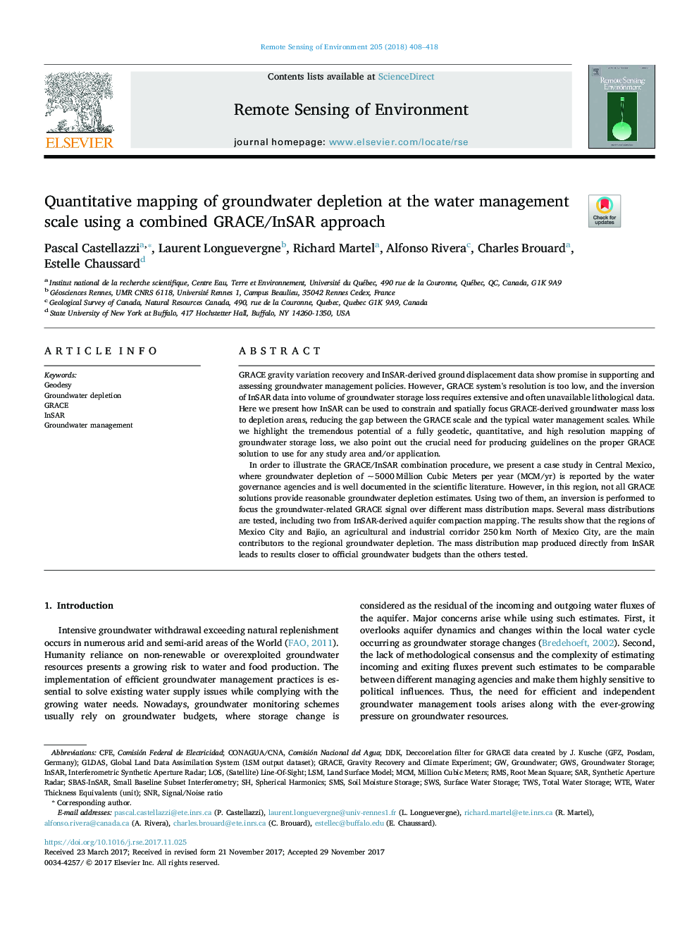
In order to illustrate the GRACE/InSAR combination procedure, we present a case study in Central Mexico, where groundwater depletion of ~Â 5000Â Million Cubic Meters per year (MCM/yr) is reported by the water governance agencies and is well documented in the scientific literature. However, in this region, not all GRACE solutions provide reasonable groundwater depletion estimates. Using two of them, an inversion is performed to focus the groundwater-related GRACE signal over different mass distribution maps. Several mass distributions are tested, including two from InSAR-derived aquifer compaction mapping. The results show that the regions of Mexico City and Bajio, an agricultural and industrial corridor 250Â km North of Mexico City, are the main contributors to the regional groundwater depletion. The mass distribution map produced directly from InSAR leads to results closer to official groundwater budgets than the others tested.
ناشر
Database: Elsevier - ScienceDirect (ساینس دایرکت)
Journal: Remote Sensing of Environment - Volume 205, February 2018, Pages 408-418
Journal: Remote Sensing of Environment - Volume 205, February 2018, Pages 408-418
نویسندگان
Pascal Castellazzi, Laurent Longuevergne, Richard Martel, Alfonso Rivera, Charles Brouard, Estelle Chaussard,