| کد مقاله | کد نشریه | سال انتشار | مقاله انگلیسی | نسخه تمام متن |
|---|---|---|---|---|
| 8915929 | 1641748 | 2018 | 17 صفحه PDF | دانلود رایگان |
عنوان انگلیسی مقاله ISI
Associations between sediment architecture and liquefaction susceptibility in fluvial settings: The 2010-2011 Canterbury Earthquake Sequence, New Zealand
دانلود مقاله + سفارش ترجمه
دانلود مقاله ISI انگلیسی
رایگان برای ایرانیان
کلمات کلیدی
موضوعات مرتبط
مهندسی و علوم پایه
علوم زمین و سیارات
مهندسی ژئوتکنیک و زمین شناسی مهندسی
پیش نمایش صفحه اول مقاله

چکیده انگلیسی
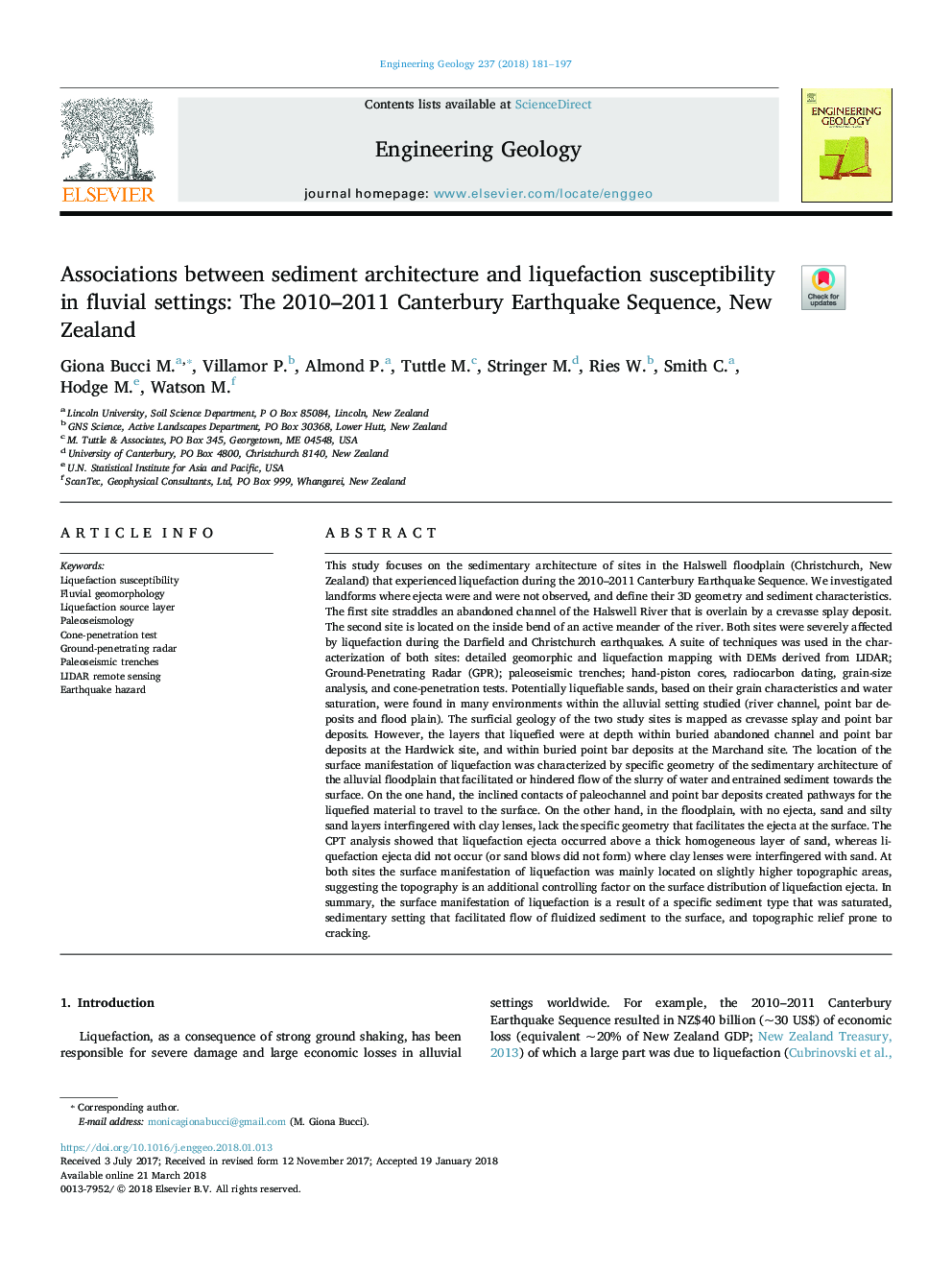
This study focuses on the sedimentary architecture of sites in the Halswell floodplain (Christchurch, New Zealand) that experienced liquefaction during the 2010-2011 Canterbury Earthquake Sequence. We investigated landforms where ejecta were and were not observed, and define their 3D geometry and sediment characteristics. The first site straddles an abandoned channel of the Halswell River that is overlain by a crevasse splay deposit. The second site is located on the inside bend of an active meander of the river. Both sites were severely affected by liquefaction during the Darfield and Christchurch earthquakes. A suite of techniques was used in the characterization of both sites: detailed geomorphic and liquefaction mapping with DEMs derived from LIDAR; Ground-Penetrating Radar (GPR); paleoseismic trenches; hand-piston cores, radiocarbon dating, grain-size analysis, and cone-penetration tests. Potentially liquefiable sands, based on their grain characteristics and water saturation, were found in many environments within the alluvial setting studied (river channel, point bar deposits and flood plain). The surficial geology of the two study sites is mapped as crevasse splay and point bar deposits. However, the layers that liquefied were at depth within buried abandoned channel and point bar deposits at the Hardwick site, and within buried point bar deposits at the Marchand site. The location of the surface manifestation of liquefaction was characterized by specific geometry of the sedimentary architecture of the alluvial floodplain that facilitated or hindered flow of the slurry of water and entrained sediment towards the surface. On the one hand, the inclined contacts of paleochannel and point bar deposits created pathways for the liquefied material to travel to the surface. On the other hand, in the floodplain, with no ejecta, sand and silty sand layers interfingered with clay lenses, lack the specific geometry that facilitates the ejecta at the surface. The CPT analysis showed that liquefaction ejecta occurred above a thick homogeneous layer of sand, whereas liquefaction ejecta did not occur (or sand blows did not form) where clay lenses were interfingered with sand. At both sites the surface manifestation of liquefaction was mainly located on slightly higher topographic areas, suggesting the topography is an additional controlling factor on the surface distribution of liquefaction ejecta. In summary, the surface manifestation of liquefaction is a result of a specific sediment type that was saturated, sedimentary setting that facilitated flow of fluidized sediment to the surface, and topographic relief prone to cracking.
ناشر
Database: Elsevier - ScienceDirect (ساینس دایرکت)
Journal: Engineering Geology - Volume 237, 10 April 2018, Pages 181-197
Journal: Engineering Geology - Volume 237, 10 April 2018, Pages 181-197
نویسندگان
Giona Bucci M., Villamor P., Almond P., Tuttle M., Stringer M., Ries W., Smith C., Hodge M., Watson M.,