| کد مقاله | کد نشریه | سال انتشار | مقاله انگلیسی | نسخه تمام متن |
|---|---|---|---|---|
| 9450279 | 1306745 | 2005 | 11 صفحه PDF | دانلود رایگان |
عنوان انگلیسی مقاله ISI
High Resolution Bathymetry and Lakebed Characterization in the Nearshore of Western Lake Michigan
دانلود مقاله + سفارش ترجمه
دانلود مقاله ISI انگلیسی
رایگان برای ایرانیان
موضوعات مرتبط
مهندسی و علوم پایه
علوم زمین و سیارات
علوم زمین و سیاره ای (عمومی)
پیش نمایش صفحه اول مقاله

چکیده انگلیسی
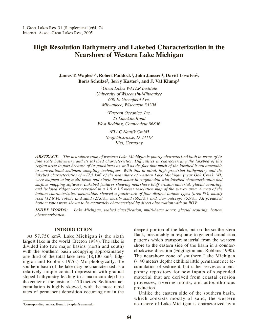
The nearshore zone of western Lake Michigan is poorly characterized both in terms of its fine scale bathymetry and its lakebed characteristics. Difficulties in characterizing the lakebed of this region arise in part because of its patchiness as well as the fact that much of the lakebed is not amenable to conventional sediment sampling techniques. With this in mind, high precision bathymetry and the lakebed characteristics of â¼17.5 km2 of the nearshore of western Lake Michigan (near Oak Creek, WI) were mapped using multi-beam and single beam sonar in conjunction with lakebed characterization and surface mapping software. Lakebed features showing nearshore bluff erosion material, glacial scouring, and isolated ridges were revealed in a 1.0Â ÃÂ 1.5 meter resolution map of the survey area. A map of the bottom characteristics, meanwhile, showed a patchwork of four distinct bottom types (area %): mostly rock (12.8%), cobble and sand (21.0%), mostly sand (60.3%), and clay outcrops (5.9%). All predicted bottom types were shown to be accurately characterized by direct observation with an ROV.
ناشر
Database: Elsevier - ScienceDirect (ساینس دایرکت)
Journal: Journal of Great Lakes Research - Volume 31, Supplement 1, 2005, Pages 64-74
Journal: Journal of Great Lakes Research - Volume 31, Supplement 1, 2005, Pages 64-74
نویسندگان
James T. Waples, Robert Paddock, John Janssen, David Lovalvo, Boris Schulze, Jerry Kaster, J. Val Klump,