| کد مقاله | کد نشریه | سال انتشار | مقاله انگلیسی | نسخه تمام متن |
|---|---|---|---|---|
| 9461945 | 1313576 | 2005 | 10 صفحه PDF | دانلود رایگان |
عنوان انگلیسی مقاله ISI
Apport de l'imagerie satellitaire radar pour l'exploration géologique en zones arides
دانلود مقاله + سفارش ترجمه
دانلود مقاله ISI انگلیسی
رایگان برای ایرانیان
موضوعات مرتبط
مهندسی و علوم پایه
علوم زمین و سیارات
علوم زمین و سیاره ای (عمومی)
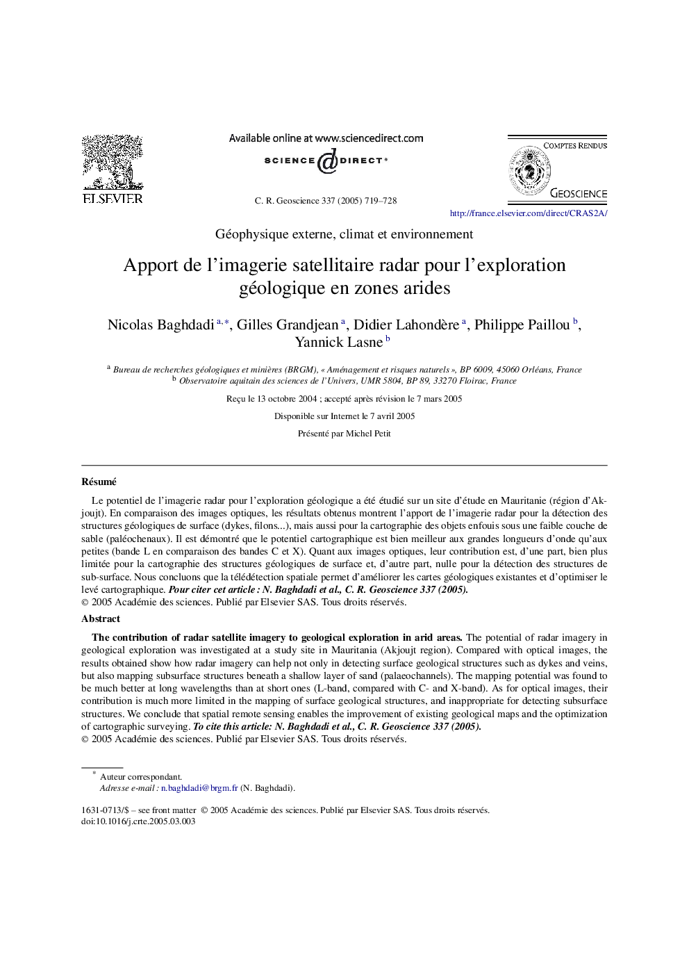
پیش نمایش صفحه اول مقاله

چکیده انگلیسی
The potential of radar imagery in geological exploration was investigated at a study site in Mauritania (Akjoujt region). Compared with optical images, the results obtained show how radar imagery can help not only in detecting surface geological structures such as dykes and veins, but also mapping subsurface structures beneath a shallow layer of sand (palaeochannels). The mapping potential was found to be much better at long wavelengths than at short ones (L-band, compared with C- and X-band). As for optical images, their contribution is much more limited in the mapping of surface geological structures, and inappropriate for detecting subsurface structures. We conclude that spatial remote sensing enables the improvement of existing geological maps and the optimization of cartographic surveying. To cite this article: N. Baghdadi et al., C. R. Geoscience 337 (2005).
ناشر
Database: Elsevier - ScienceDirect (ساینس دایرکت)
Journal: Comptes Rendus Geoscience - Volume 337, Issue 8, June 2005, Pages 719-728
Journal: Comptes Rendus Geoscience - Volume 337, Issue 8, June 2005, Pages 719-728
نویسندگان
Nicolas Baghdadi, Gilles Grandjean, Didier Lahondère, Philippe Paillou, Yannick Lasne,