| کد مقاله | کد نشریه | سال انتشار | مقاله انگلیسی | نسخه تمام متن |
|---|---|---|---|---|
| 5754654 | 1621199 | 2017 | 13 صفحه PDF | دانلود رایگان |
عنوان انگلیسی مقاله ISI
The Tidal Marsh Inundation Index (TMII): An inundation filter to flag flooded pixels and improve MODIS tidal marsh vegetation time-series analysis
دانلود مقاله + سفارش ترجمه
دانلود مقاله ISI انگلیسی
رایگان برای ایرانیان
کلمات کلیدی
FPARNIRPLS-DAJuncus roemerianusSpartina alternifloraROCGLMSpartina patensSWIRNPPEVIGPPVariPhenoCamAUC - AUCVIs - VI هاNet primary productivity - بهره وری اولیهGross primary productivity - بهره وری اولیه ناخالصMODIS - تابشسنج طیفی تصویربرداری با وضوح متوسط یا MODIS Coastal wetlands - تالاب ساحلیPartial least squares discriminant analysis - تجزیه و تحلیل خرده مقیاس حداقل مربعات جزئیnational aeronautics and space administration - سازمان ملی هوانوردی و فضاییNormalized Difference Water Index - شاخص تناوب عادیnormalized difference vegetation index - شاخص تنوع گیاه شناسی نرمال شدهEnhanced Vegetation Index - شاخص رشد گیاهیLeaf area index - شاخص سطح برگNDVI - شاخص نرمالشده تفاوت پوشش گیاهی LAI - شبیهPhenology - فنولوژیVisible - قابل رویتGeneralized linear model - مدل خطی تعمیمیافتهarea under the curve - منطقه تحت منحنیShort-wave infrared - موج کوتاه مادون قرمزNASA - ناساNear-infrared - نزدیک مادون قرمزNDWI - کلمهreceiver operating characteristic - گیرنده عامل عامل
موضوعات مرتبط
مهندسی و علوم پایه
علوم زمین و سیارات
کامپیوتر در علوم زمین
پیش نمایش صفحه اول مقاله

چکیده انگلیسی
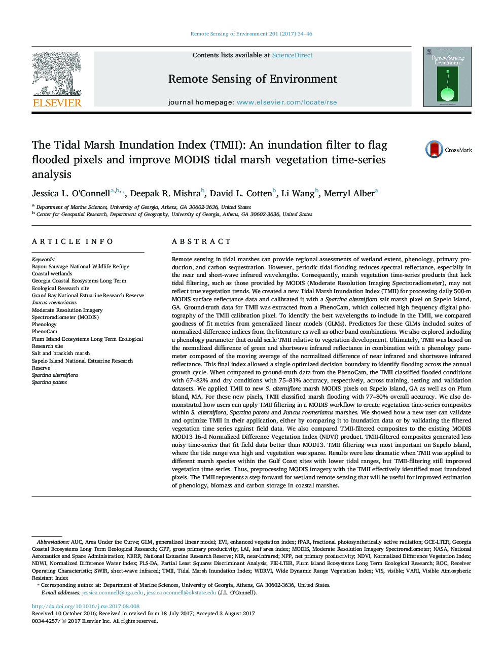
Remote sensing in tidal marshes can provide regional assessments of wetland extent, phenology, primary production, and carbon sequestration. However, periodic tidal flooding reduces spectral reflectance, especially in the near and short-wave infrared wavelengths. Consequently, marsh vegetation time-series products that lack tidal filtering, such as those provided by MODIS (Moderate Resolution Imaging Spectroradiometer), may not reflect true vegetation trends. We created a new Tidal Marsh Inundation Index (TMII) for processing daily 500-m MODIS surface reflectance data and calibrated it with a Spartina alterniflora salt marsh pixel on Sapelo Island, GA. Ground-truth data for TMII was extracted from a PhenoCam, which collected high frequency digital photography of the TMII calibration pixel. To identify the best wavelengths to include in the TMII, we compared goodness of fit metrics from generalized linear models (GLMs). Predictors for these GLMs included suites of normalized difference indices from the literature as well as other band combinations. We also explored including a phenology parameter that could scale TMII relative to vegetation development. Ultimately, TMII was based on the normalized difference of green and shortwave infrared reflectance in combination with a phenology parameter composed of the moving average of the normalized difference of near infrared and shortwave infrared reflectance. This final index allowed a single optimized decision boundary to identify flooding across the annual growth cycle. When compared to ground-truth data from the PhenoCam, the TMII classified flooded conditions with 67-82% and dry conditions with 75-81% accuracy, respectively, across training, testing and validation datasets. We applied TMII to new S. alterniflora marsh MODIS pixels on Sapelo Island, GA as well as on Plum Island, MA. For these new pixels, TMII classified marsh flooding with 77-80% overall accuracy. We also demonstrated how users can apply TMII filtering in a MODIS workflow to create vegetation time-series composites within S. alterniflora, Spartina patens and Juncus roemerianus marshes. We showed how a new user can validate and optimize TMII in their application, either by comparing it to inundation data or by validating the filtered vegetation time series against field data. We also compared TMII-filtered composites to the existing MODIS MOD13 16-d Normalized Difference Vegetation Index (NDVI) product. TMII-filtered composites generated less noisy time-series that fit field data better than MOD13. TMII filtering was most important on Sapelo Island, where the tide range was high and vegetation was sparse. Results were less dramatic when TMII was applied to different marsh species within the Gulf Coast sites with lower tidal ranges, but TMII-filtering still improved vegetation time series. Thus, preprocessing MODIS imagery with the TMII effectively identified most inundated pixels. The TMII represents a step forward for wetland remote sensing that will be useful for improved estimation of phenology, biomass and carbon storage in coastal marshes.
ناشر
Database: Elsevier - ScienceDirect (ساینس دایرکت)
Journal: Remote Sensing of Environment - Volume 201, November 2017, Pages 34-46
Journal: Remote Sensing of Environment - Volume 201, November 2017, Pages 34-46
نویسندگان
Jessica L. O'Connell, Deepak R. Mishra, David L. Cotten, Li Wang, Merryl Alber,