| کد مقاله | کد نشریه | سال انتشار | مقاله انگلیسی | نسخه تمام متن |
|---|---|---|---|---|
| 6447670 | 1641777 | 2016 | 17 صفحه PDF | دانلود رایگان |
عنوان انگلیسی مقاله ISI
Geophysical and geotechnical studies of geology and sediment properties at a quick-clay landslide site at Esp, Trondheim, Norway
دانلود مقاله + سفارش ترجمه
دانلود مقاله ISI انگلیسی
رایگان برای ایرانیان
کلمات کلیدی
موضوعات مرتبط
مهندسی و علوم پایه
علوم زمین و سیارات
مهندسی ژئوتکنیک و زمین شناسی مهندسی
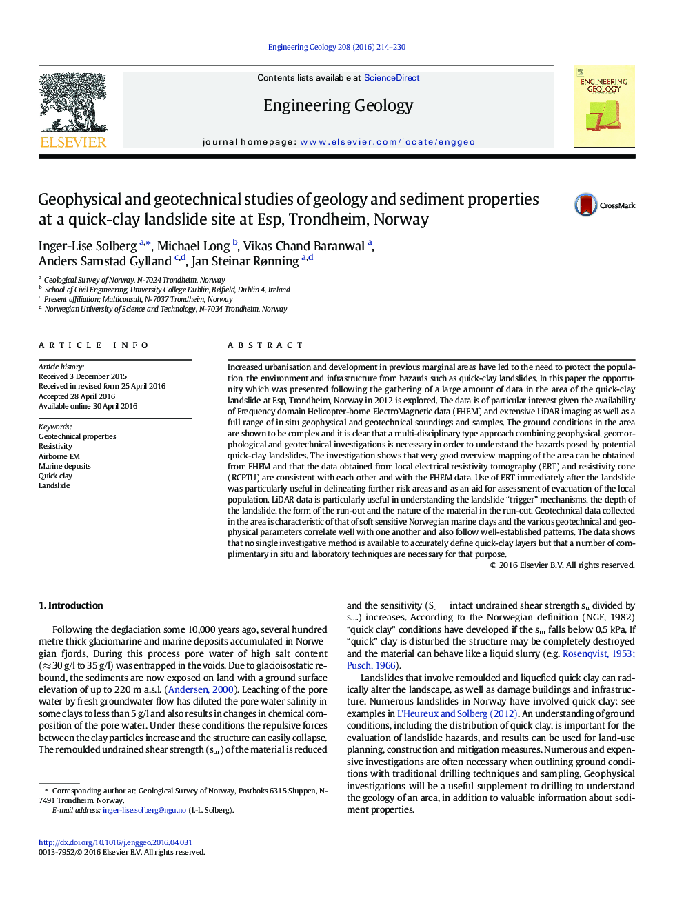
پیش نمایش صفحه اول مقاله

چکیده انگلیسی
Increased urbanisation and development in previous marginal areas have led to the need to protect the population, the environment and infrastructure from hazards such as quick-clay landslides. In this paper the opportunity which was presented following the gathering of a large amount of data in the area of the quick-clay landslide at Esp, Trondheim, Norway in 2012 is explored. The data is of particular interest given the availability of Frequency domain Helicopter-borne ElectroMagnetic data (FHEM) and extensive LiDAR imaging as well as a full range of in situ geophysical and geotechnical soundings and samples. The ground conditions in the area are shown to be complex and it is clear that a multi-disciplinary type approach combining geophysical, geomorphological and geotechnical investigations is necessary in order to understand the hazards posed by potential quick-clay landslides. The investigation shows that very good overview mapping of the area can be obtained from FHEM and that the data obtained from local electrical resistivity tomography (ERT) and resistivity cone (RCPTU) are consistent with each other and with the FHEM data. Use of ERT immediately after the landslide was particularly useful in delineating further risk areas and as an aid for assessment of evacuation of the local population. LiDAR data is particularly useful in understanding the landslide “trigger” mechanisms, the depth of the landslide, the form of the run-out and the nature of the material in the run-out. Geotechnical data collected in the area is characteristic of that of soft sensitive Norwegian marine clays and the various geotechnical and geophysical parameters correlate well with one another and also follow well-established patterns. The data shows that no single investigative method is available to accurately define quick-clay layers but that a number of complimentary in situ and laboratory techniques are necessary for that purpose.
ناشر
Database: Elsevier - ScienceDirect (ساینس دایرکت)
Journal: Engineering Geology - Volume 208, 24 June 2016, Pages 214-230
Journal: Engineering Geology - Volume 208, 24 June 2016, Pages 214-230
نویسندگان
Inger-Lise Solberg, Michael Long, Vikas Chand Baranwal, Anders Samstad Gylland, Jan Steinar Rønning,