| کد مقاله | کد نشریه | سال انتشار | مقاله انگلیسی | نسخه تمام متن |
|---|---|---|---|---|
| 4687301 | 1635587 | 2006 | 10 صفحه PDF | دانلود رایگان |
عنوان انگلیسی مقاله ISI
Use of Thermal Infrared Multispectral Scanner (TIMS) imagery to investigate upslope particle size controls on arid piedmont morphology
دانلود مقاله + سفارش ترجمه
دانلود مقاله ISI انگلیسی
رایگان برای ایرانیان
موضوعات مرتبط
مهندسی و علوم پایه
علوم زمین و سیارات
فرآیندهای سطح زمین
پیش نمایش صفحه اول مقاله

چکیده انگلیسی
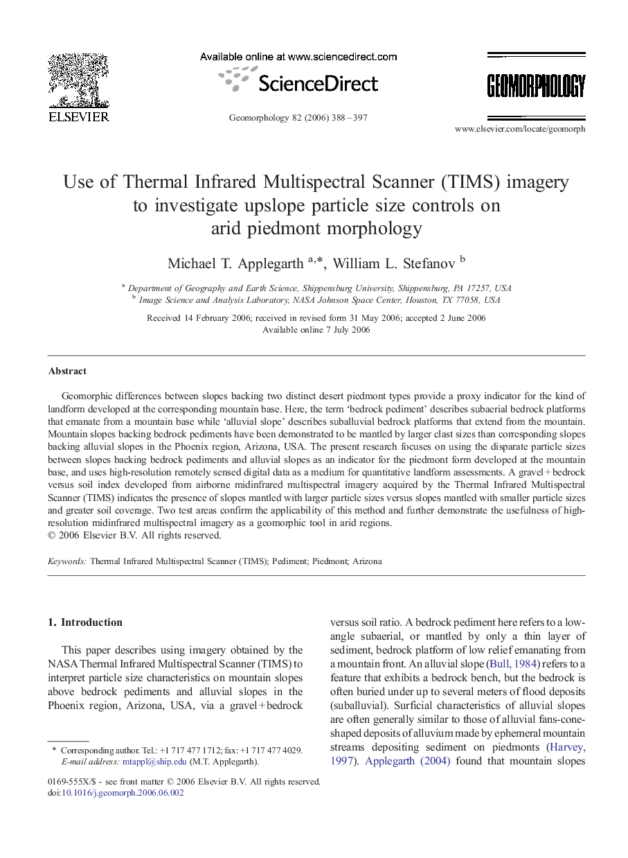
Geomorphic differences between slopes backing two distinct desert piedmont types provide a proxy indicator for the kind of landform developed at the corresponding mountain base. Here, the term 'bedrock pediment' describes subaerial bedrock platforms that emanate from a mountain base while 'alluvial slope' describes suballuvial bedrock platforms that extend from the mountain. Mountain slopes backing bedrock pediments have been demonstrated to be mantled by larger clast sizes than corresponding slopes backing alluvial slopes in the Phoenix region, Arizona, USA. The present research focuses on using the disparate particle sizes between slopes backing bedrock pediments and alluvial slopes as an indicator for the piedmont form developed at the mountain base, and uses high-resolution remotely sensed digital data as a medium for quantitative landform assessments. A gravel + bedrock versus soil index developed from airborne midinfrared multispectral imagery acquired by the Thermal Infrared Multispectral Scanner (TIMS) indicates the presence of slopes mantled with larger particle sizes versus slopes mantled with smaller particle sizes and greater soil coverage. Two test areas confirm the applicability of this method and further demonstrate the usefulness of high-resolution midinfrared multispectral imagery as a geomorphic tool in arid regions.
ناشر
Database: Elsevier - ScienceDirect (ساینس دایرکت)
Journal: Geomorphology - Volume 82, Issues 3â4, 15 December 2006, Pages 388-397
Journal: Geomorphology - Volume 82, Issues 3â4, 15 December 2006, Pages 388-397
نویسندگان
Michael T. Applegarth, William L. Stefanov,