| کد مقاله | کد نشریه | سال انتشار | مقاله انگلیسی | نسخه تمام متن |
|---|---|---|---|---|
| 4687630 | 1635603 | 2006 | 16 صفحه PDF | دانلود رایگان |
عنوان انگلیسی مقاله ISI
Accuracy assessment of georectified aerial photographs: Implications for measuring lateral channel movement in a GIS
دانلود مقاله + سفارش ترجمه
دانلود مقاله ISI انگلیسی
رایگان برای ایرانیان
کلمات کلیدی
موضوعات مرتبط
مهندسی و علوم پایه
علوم زمین و سیارات
فرآیندهای سطح زمین
پیش نمایش صفحه اول مقاله

چکیده انگلیسی
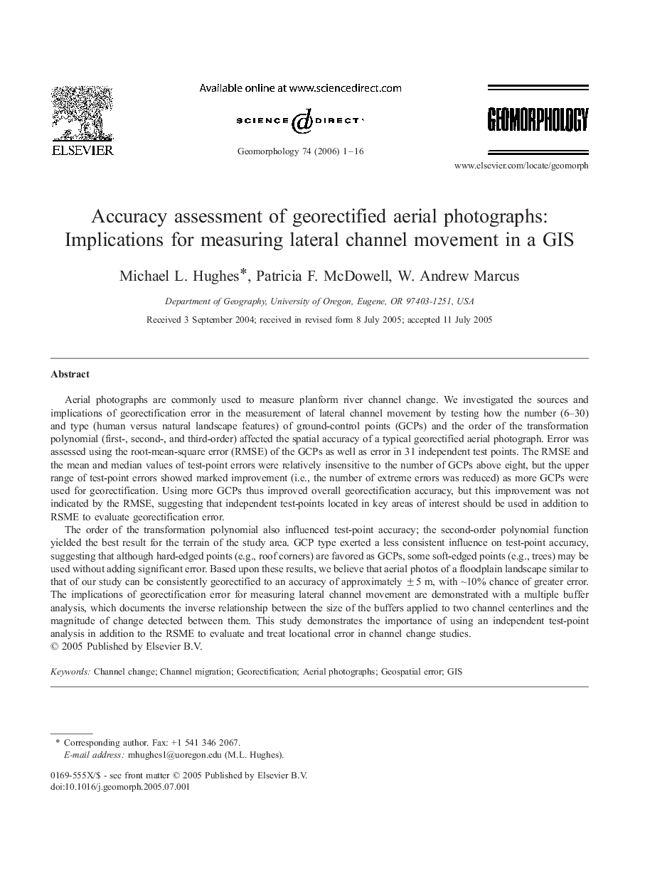
The order of the transformation polynomial also influenced test-point accuracy; the second-order polynomial function yielded the best result for the terrain of the study area. GCP type exerted a less consistent influence on test-point accuracy, suggesting that although hard-edged points (e.g., roof corners) are favored as GCPs, some soft-edged points (e.g., trees) may be used without adding significant error. Based upon these results, we believe that aerial photos of a floodplain landscape similar to that of our study can be consistently georectified to an accuracy of approximately ± 5 m, with â¼10% chance of greater error. The implications of georectification error for measuring lateral channel movement are demonstrated with a multiple buffer analysis, which documents the inverse relationship between the size of the buffers applied to two channel centerlines and the magnitude of change detected between them. This study demonstrates the importance of using an independent test-point analysis in addition to the RSME to evaluate and treat locational error in channel change studies.
ناشر
Database: Elsevier - ScienceDirect (ساینس دایرکت)
Journal: Geomorphology - Volume 74, Issues 1â4, March 2006, Pages 1-16
Journal: Geomorphology - Volume 74, Issues 1â4, March 2006, Pages 1-16
نویسندگان
Michael L. Hughes, Patricia F. McDowell, W. Andrew Marcus,