| کد مقاله | کد نشریه | سال انتشار | مقاله انگلیسی | نسخه تمام متن |
|---|---|---|---|---|
| 5781079 | 1635369 | 2017 | 16 صفحه PDF | دانلود رایگان |
عنوان انگلیسی مقاله ISI
Optimising UAV topographic surveys processed with structure-from-motion: Ground control quality, quantity and bundle adjustment
دانلود مقاله + سفارش ترجمه
دانلود مقاله ISI انگلیسی
رایگان برای ایرانیان
کلمات کلیدی
موضوعات مرتبط
مهندسی و علوم پایه
علوم زمین و سیارات
فرآیندهای سطح زمین
پیش نمایش صفحه اول مقاله

چکیده انگلیسی
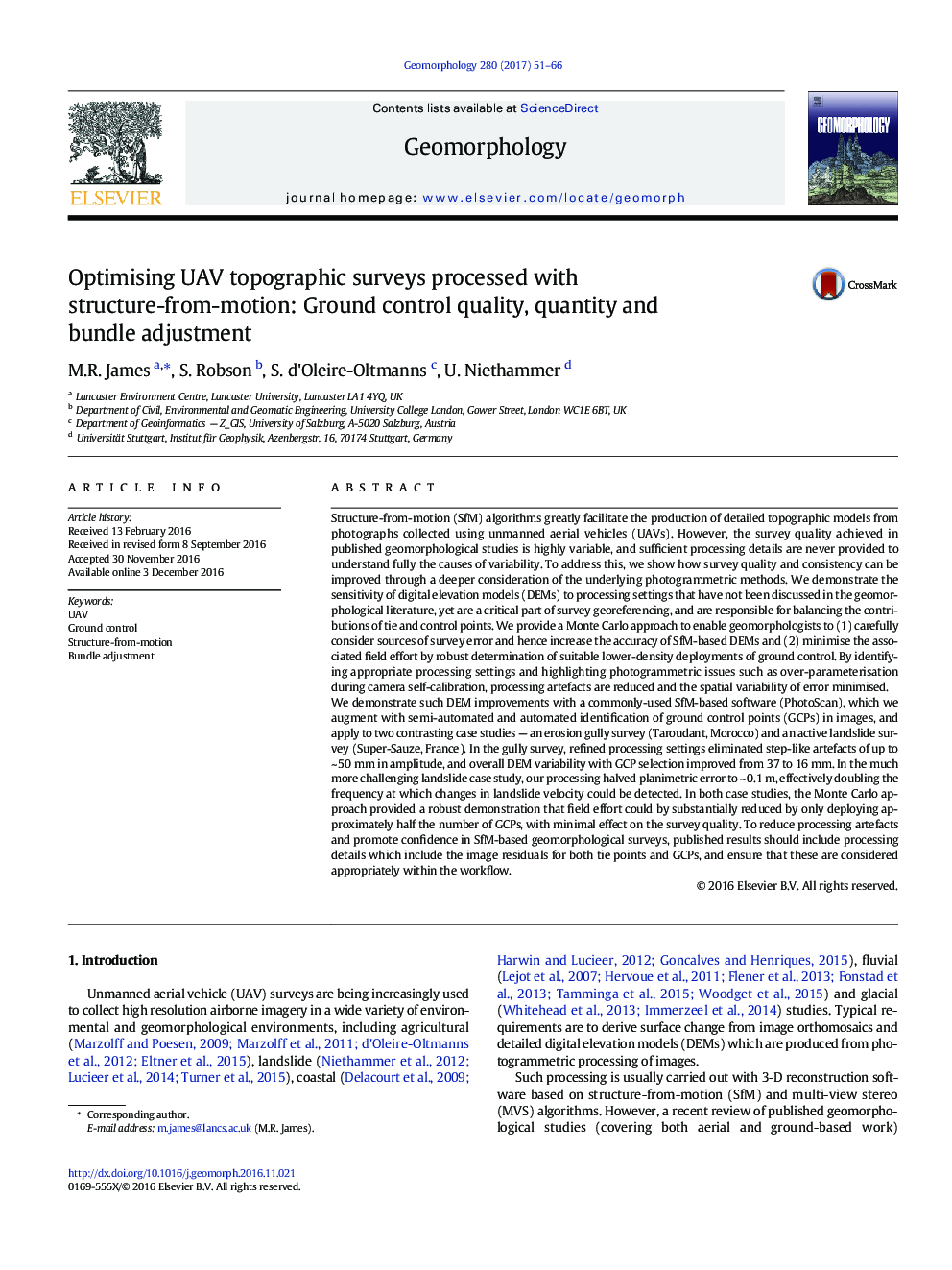
We demonstrate such DEM improvements with a commonly-used SfM-based software (PhotoScan), which we augment with semi-automated and automated identification of ground control points (GCPs) in images, and apply to two contrasting case studies - an erosion gully survey (Taroudant, Morocco) and an active landslide survey (Super-Sauze, France). In the gully survey, refined processing settings eliminated step-like artefacts of up to ~Â 50Â mm in amplitude, and overall DEM variability with GCP selection improved from 37 to 16Â mm. In the much more challenging landslide case study, our processing halved planimetric error to ~Â 0.1Â m, effectively doubling the frequency at which changes in landslide velocity could be detected. In both case studies, the Monte Carlo approach provided a robust demonstration that field effort could by substantially reduced by only deploying approximately half the number of GCPs, with minimal effect on the survey quality. To reduce processing artefacts and promote confidence in SfM-based geomorphological surveys, published results should include processing details which include the image residuals for both tie points and GCPs, and ensure that these are considered appropriately within the workflow.
ناشر
Database: Elsevier - ScienceDirect (ساینس دایرکت)
Journal: Geomorphology - Volume 280, 1 March 2017, Pages 51-66
Journal: Geomorphology - Volume 280, 1 March 2017, Pages 51-66
نویسندگان
M.R. James, S. Robson, S. d'Oleire-Oltmanns, U. Niethammer,