| کد مقاله | کد نشریه | سال انتشار | مقاله انگلیسی | نسخه تمام متن |
|---|---|---|---|---|
| 9532537 | 1639228 | 2005 | 22 صفحه PDF | دانلود رایگان |
عنوان انگلیسی مقاله ISI
A Holocene coral-algal reef at Mavra Litharia, Gulf of Corinth, Greece: structure, history, and applications in relative sea-level change
دانلود مقاله + سفارش ترجمه
دانلود مقاله ISI انگلیسی
رایگان برای ایرانیان
موضوعات مرتبط
مهندسی و علوم پایه
علوم زمین و سیارات
ژئوشیمی و پترولوژی
پیش نمایش صفحه اول مقاله

چکیده انگلیسی
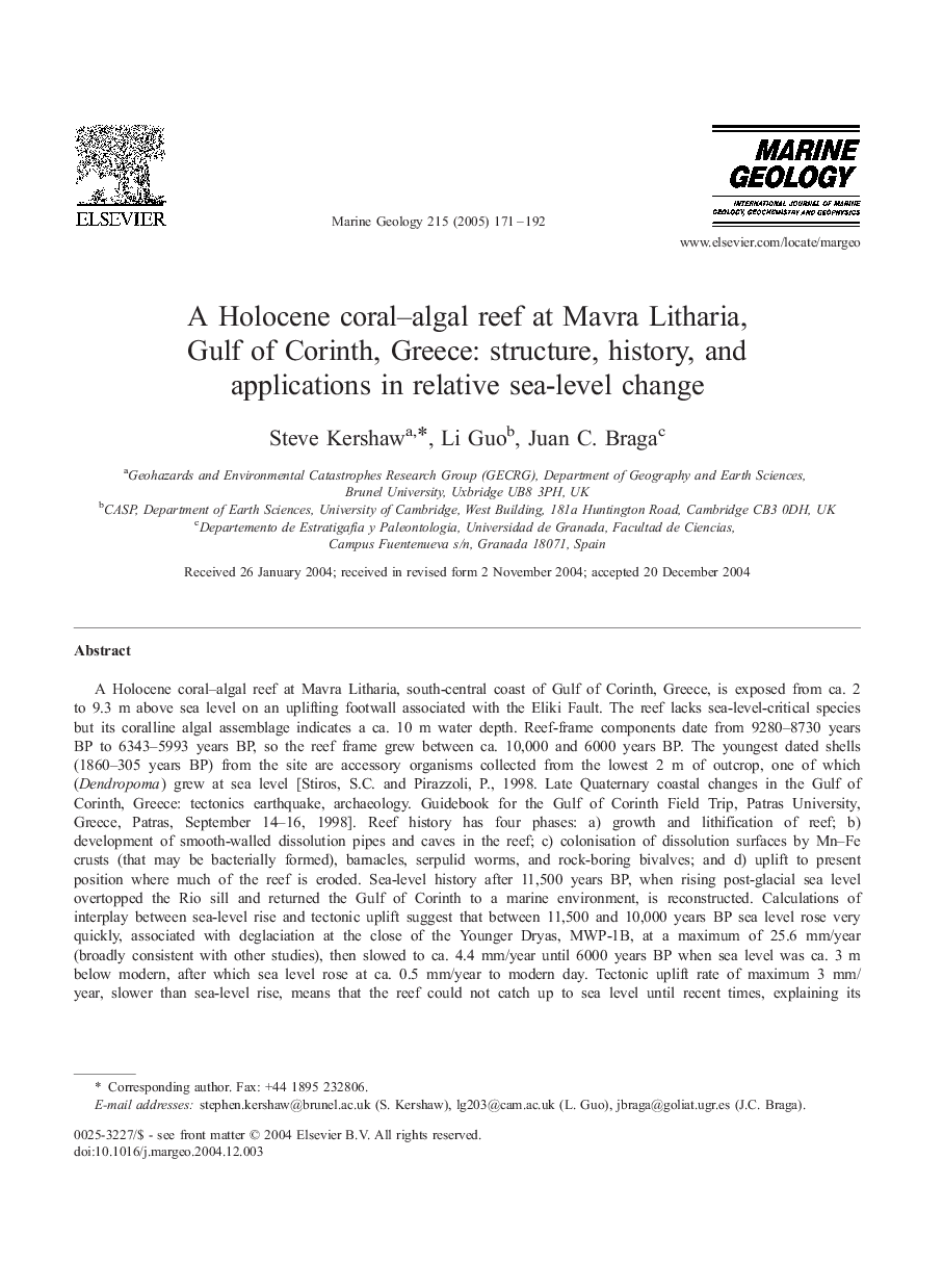
A Holocene coral-algal reef at Mavra Litharia, south-central coast of Gulf of Corinth, Greece, is exposed from ca. 2 to 9.3 m above sea level on an uplifting footwall associated with the Eliki Fault. The reef lacks sea-level-critical species but its coralline algal assemblage indicates a ca. 10 m water depth. Reef-frame components date from 9280-8730 years BP to 6343-5993 years BP, so the reef frame grew between ca. 10,000 and 6000 years BP. The youngest dated shells (1860-305 years BP) from the site are accessory organisms collected from the lowest 2 m of outcrop, one of which (Dendropoma) grew at sea level [Stiros, S.C. and Pirazzoli, P., 1998. Late Quaternary coastal changes in the Gulf of Corinth, Greece: tectonics earthquake, archaeology. Guidebook for the Gulf of Corinth Field Trip, Patras University, Greece, Patras, September 14-16, 1998]. Reef history has four phases: a) growth and lithification of reef; b) development of smooth-walled dissolution pipes and caves in the reef; c) colonisation of dissolution surfaces by Mn-Fe crusts (that may be bacterially formed), barnacles, serpulid worms, and rock-boring bivalves; and d) uplift to present position where much of the reef is eroded. Sea-level history after 11,500 years BP, when rising post-glacial sea level overtopped the Rio sill and returned the Gulf of Corinth to a marine environment, is reconstructed. Calculations of interplay between sea-level rise and tectonic uplift suggest that between 11,500 and 10,000 years BP sea level rose very quickly, associated with deglaciation at the close of the Younger Dryas, MWP-1B, at a maximum of 25.6 mm/year (broadly consistent with other studies), then slowed to ca. 4.4 mm/year until 6000 years BP when sea level was ca. 3 m below modern, after which sea level rose at ca. 0.5 mm/year to modern day. Tectonic uplift rate of maximum 3 mm/year, slower than sea-level rise, means that the reef could not catch up to sea level until recent times, explaining its fossil assemblage. The pipe/cave system is interpreted as having formed when the reef top was emerged, but much dissolution occurred beneath sea level because of insufficient time to allow uplift and resubmergence. Intense rainfall during the mid-Holocene pluvial phase, ca. 6000 years BP for the eastern Mediterranean, which affected large areas of the Mediterranean, is suggested as the mechanism and timing of submarine dissolution.
ناشر
Database: Elsevier - ScienceDirect (ساینس دایرکت)
Journal: Marine Geology - Volume 215, Issues 3â4, 15 March 2005, Pages 171-192
Journal: Marine Geology - Volume 215, Issues 3â4, 15 March 2005, Pages 171-192
نویسندگان
Steve Kershaw, Li Guo, Juan C. Braga,