| کد مقاله | کد نشریه | سال انتشار | مقاله انگلیسی | نسخه تمام متن |
|---|---|---|---|---|
| 4687705 | 1635600 | 2006 | 17 صفحه PDF | دانلود رایگان |
عنوان انگلیسی مقاله ISI
Modelling spatial scales of water erosion in the West Usambara Mountains of Tanzania
دانلود مقاله + سفارش ترجمه
دانلود مقاله ISI انگلیسی
رایگان برای ایرانیان
کلمات کلیدی
موضوعات مرتبط
مهندسی و علوم پایه
علوم زمین و سیارات
فرآیندهای سطح زمین
پیش نمایش صفحه اول مقاله

چکیده انگلیسی
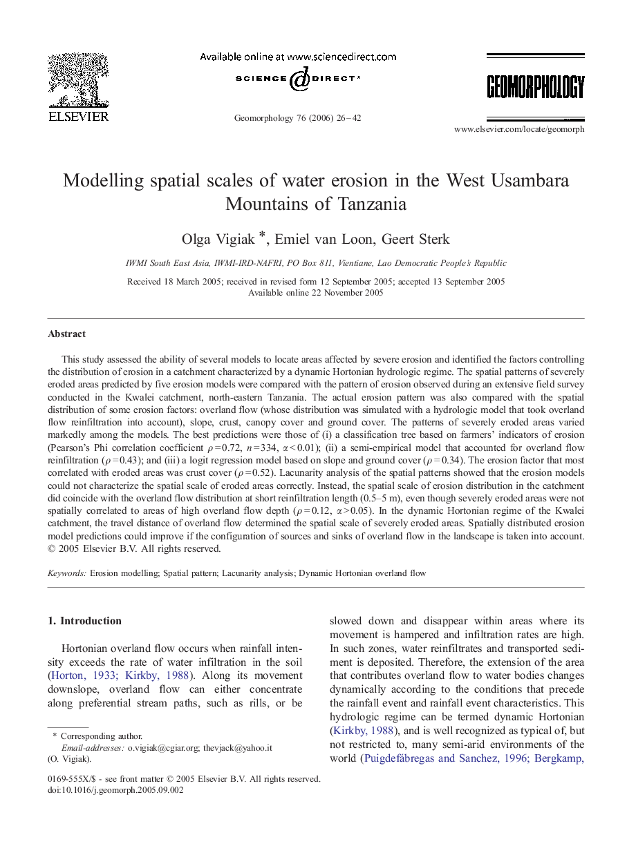
This study assessed the ability of several models to locate areas affected by severe erosion and identified the factors controlling the distribution of erosion in a catchment characterized by a dynamic Hortonian hydrologic regime. The spatial patterns of severely eroded areas predicted by five erosion models were compared with the pattern of erosion observed during an extensive field survey conducted in the Kwalei catchment, north-eastern Tanzania. The actual erosion pattern was also compared with the spatial distribution of some erosion factors: overland flow (whose distribution was simulated with a hydrologic model that took overland flow reinfiltration into account), slope, crust, canopy cover and ground cover. The patterns of severely eroded areas varied markedly among the models. The best predictions were those of (i) a classification tree based on farmers' indicators of erosion (Pearson's Phi correlation coefficient Ï = 0.72, n = 334, α < 0.01); (ii) a semi-empirical model that accounted for overland flow reinfiltration (Ï = 0.43); and (iii) a logit regression model based on slope and ground cover (Ï = 0.34). The erosion factor that most correlated with eroded areas was crust cover (Ï = 0.52). Lacunarity analysis of the spatial patterns showed that the erosion models could not characterize the spatial scale of eroded areas correctly. Instead, the spatial scale of erosion distribution in the catchment did coincide with the overland flow distribution at short reinfiltration length (0.5-5 m), even though severely eroded areas were not spatially correlated to areas of high overland flow depth (Ï = 0.12, α > 0.05). In the dynamic Hortonian regime of the Kwalei catchment, the travel distance of overland flow determined the spatial scale of severely eroded areas. Spatially distributed erosion model predictions could improve if the configuration of sources and sinks of overland flow in the landscape is taken into account.
ناشر
Database: Elsevier - ScienceDirect (ساینس دایرکت)
Journal: Geomorphology - Volume 76, Issues 1â2, 5 June 2006, Pages 26-42
Journal: Geomorphology - Volume 76, Issues 1â2, 5 June 2006, Pages 26-42
نویسندگان
Olga Vigiak, Emiel van Loon, Geert Sterk,