| کد مقاله | کد نشریه | سال انتشار | مقاله انگلیسی | نسخه تمام متن |
|---|---|---|---|---|
| 6408329 | 1629444 | 2016 | 11 صفحه PDF | دانلود رایگان |
عنوان انگلیسی مقاله ISI
Identification of WorldView-2 spectral and spatial factors in detecting salt accumulation in cultivated fields
دانلود مقاله + سفارش ترجمه
دانلود مقاله ISI انگلیسی
رایگان برای ایرانیان
کلمات کلیدی
EVISAVIROCsPLSNIRSoil-adjusted vegetation indexWorldView 2BREVHRCARTAUC - AUCPCA - PCAVIs - VI هاvil - ارادهImage texture - بافت تصویرDecision tree analysis - تجزیه و تحلیل درخت تصمیم گیریPrincipal component analysis - تحلیل مولفههای اصلی یا PCARandom forests - جنگ های تصادفیPartial least squares - حداقل مربعات جزئی Decision tree - درخت تصمیمRegression - رگرسیونRemote sensing - سنجش از راه دورnormalized difference vegetation index - شاخص تنوع گیاه شناسی نرمال شدهEnhanced Vegetation Index - شاخص رشد گیاهیNDVI - شاخص نرمالشده تفاوت پوشش گیاهی Vegetation indices - شاخص های گیاهیSalinity - شوریClassification and regression tree - طبقه بندی و درخت رگرسیونSVM - ماشین بردار پشتیبانیSupport vector machines - ماشین بردار پشتیبانیarea under the curve - منطقه تحت منحنیNear-infrared - نزدیک مادون قرمزNearest neighbour - نزدیکترین همسایهelectric conductivity - هدایت الکتریکیVery high resolution - وضوح بسیار بالاreceiver operating characteristics - ویژگی های عملکرد گیرنده
موضوعات مرتبط
مهندسی و علوم پایه
علوم زمین و سیارات
فرآیندهای سطح زمین
پیش نمایش صفحه اول مقاله

چکیده انگلیسی
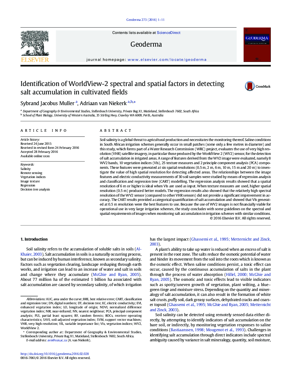
Soil salinity is a global threat to agricultural production and necessitates the monitoring thereof. Saline conditions in South African irrigation schemes generally occur in small patches (some only a few metres in diameter) and this study, which forms part of a Water Research Commission (WRC) project, evaluates the use of very high resolution (VHR) satellite imagery, in particular those produced by the WorldView 2 (WV2) sensor, for the detection of salt accumulation in irrigated areas. A range of features derived from the WV2 image were evaluated, namely 8 WV2 bands, 10 vegetation indices (VIs), 25 texture measures and 2 principle component analysis (PCA) components. These features were generated at six spatial resolutions (0.5Â m, 2Â m, 6Â m, 10Â m, 15Â m and 20Â m) to investigate the value of high spatial resolution for detecting affected areas. The relationships between the image features and electric conductivity measurements of 30 soil samples were studied by means of regression analysis and classification and regression tree (CART) modelling. The regression analysis results showed that a spatial resolution of 6Â m or higher is ideal when VIs are used as input. When texture measures are used, higher spatial resolution (0.5Â m) produced better models. The regression results also showed that the relatively high spectral resolution of the WV2 sensor (compared to other VHR sensors) did not provide a significant improvement in accuracy. The CART results provided a categorical quantification of salt accumulation and showed that VIs generated at 0.5Â m resolution were the best features to use. Because the use of WV2 images is not financially viable for operational use in very large irrigation schemes, the study concludes with some guidelines on the spectral and spatial requirements of images when monitoring salt accumulation in irrigation schemes with similar conditions.
ناشر
Database: Elsevier - ScienceDirect (ساینس دایرکت)
Journal: Geoderma - Volume 273, 1 July 2016, Pages 1-11
Journal: Geoderma - Volume 273, 1 July 2016, Pages 1-11
نویسندگان
Sybrand Jacobus Muller, Adriaan van Niekerk,