| کد مقاله | کد نشریه | سال انتشار | مقاله انگلیسی | نسخه تمام متن |
|---|---|---|---|---|
| 9524796 | 1635606 | 2005 | 20 صفحه PDF | دانلود رایگان |
عنوان انگلیسی مقاله ISI
Remote sensing of stream depths with hydraulically assisted bathymetry (HAB) models
دانلود مقاله + سفارش ترجمه
دانلود مقاله ISI انگلیسی
رایگان برای ایرانیان
کلمات کلیدی
موضوعات مرتبط
مهندسی و علوم پایه
علوم زمین و سیارات
فرآیندهای سطح زمین
پیش نمایش صفحه اول مقاله

چکیده انگلیسی
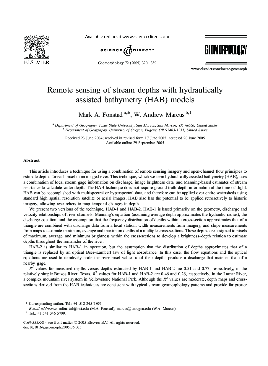
R2 values for measured depths versus depths estimated by HAB-1 and HAB-2 are 0.51 and 0.77, respectively, in the relatively simple Brazos River, Texas. R2 values for HAB-1 and HAB-2 are 0.46 and 0.26, respectively, in the Lamar River, a complex mountain river system in Yellowstone National Park. Although the R2 values are moderate, depth maps and cross-sections derived from the HAB techniques are consistent with typical stream geomorphology patterns and provide far greater spatial coverage and detail than could be achieved with ground-based survey techniques. Improved depth estimates can be achieved by stratifying the river into different habitat types that normalize for differences in turbulence and substrate.
ناشر
Database: Elsevier - ScienceDirect (ساینس دایرکت)
Journal: Geomorphology - Volume 72, Issues 1â4, December 2005, Pages 320-339
Journal: Geomorphology - Volume 72, Issues 1â4, December 2005, Pages 320-339
نویسندگان
Mark A. Fonstad, W. Andrew Marcus,